Is Vermont due for more flooding this spring?
The last 11 months have been traumatizing weather-wise for many Vermonters.
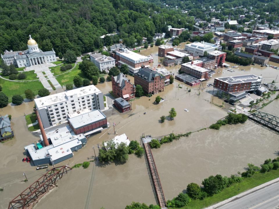
In May, an unprecedented freeze crippled the state’s agricultural industry almost overnight. Widespread flooding in July and December damaged property and displaced residents and businesses. This January, a winter storm wiped out power in thousands of homes and stores.
Now in late April, some residents are worrying that springtime will bring extra flooding to the Green Mountain State thanks to last-minute snowfall in March.
Local meteorologists, however, are not too concerned.
As of now, flood potential is normal throughout most of Vermont, according to lead meteorologist Marvin Boyd of the National Weather Service in South Burlington. The only outliers are Bennington and Windham counties, whose flood potential rests just slightly above average due to receiving more snow than other areas this year.
In fact, despite late season snow, snow cover and snow-water content – two predictors of seasonal flooding – are currently below normal and “steadily decreasing” throughout the state, Boyd said. Because of this downward trend, NWS Burlington sees no need to issue public spring flood outlooks every two weeks.
“We basically have equal chances for getting flooding or not,” Boyd said.
Will Lake Champlain flood this spring?
Burlington, due to its higher elevation, was spared from massive flooding events last year despite its proximity to Lake Champlain. But the question is, will the Queen City’s luck hold out this spring?
Boyd said that, as of now, NWS Burlington doesn’t foresee flooding in Lake Champlain’s future. The lake’s current water level – hovering around 98.71 ft as of 5 p.m. on April 18 – is only “slightly above average but not by much” for early to mid-April.
Additionally, for Lake Champlain to begin overflowing, water would have to reach 99.5 ft.
“Our projections are that the water is going to stay below that, but we’re continuing to monitor” Lake Champlain, Boyd said.
Could another severe weather event occur in Vermont this year?
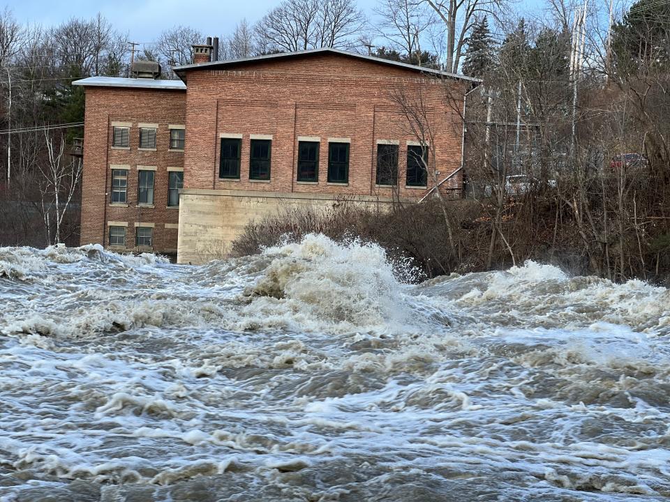
While Vermont’s risk of seasonal flooding is average this spring, that doesn’t rule out the possibility of acute flooding events caused by “brief but heavy rain” or the presence of a strong storm system, such as what happened last July and December, Boyd said.
“We’re more concerned about what’s falling from the sky” than residual snow causing problems, he said. “That would be the threat. It would take something significant to get some flooding going.”
Luckily, events like the July and December floods are rare.
“We were using words like, ‘most significant rainfall since Tropical Storm Irene,” Boyd said.
If acute flooding were to happen this year, meteorologists wouldn’t be able to predict it until much closer to the event. Last July, for instance, meteorologists received their first “very large signal” of wet weather six days before the storm hit Vermont, Boyd said.
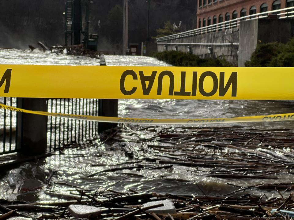
“Four days out we were hitting the alarm bells,” he said, adding that it wasn’t until 72 hours that they knew the storm would rival Irene.
Last December’s flooding was even less predictable, exceeding initial rainfall expectations.
“In some places, it was just as significant as the July event,” Boyd said.
Although last year’s severe weather events remain rare these days, meteorologists say they’re only going to become more common as climate change worsens.
“As climate warms, the threat of heavy rain does increase,” he said.
Megan Stewart is a government accountability reporter for the Burlington Free Press. Contact her at mstewartyounger@gannett.com.
This article originally appeared on Burlington Free Press: Can Vermont expect spring flooding?

