Here’s how many tornadoes hit Kansas and what damage was left behind after Sunday storms
The storms that hit Kansas on Sunday night contained brief tornadoes, 100 mph wind gusts and golf ball size hail, according to a report published by the National Weather Service on Wednesday.
It started around 2:30 p.m. when a high precipitation supercell formed near Hays along a warm front. A high precipitation supercell is a rotating thunderstorm that produces heavy rainfall, large hail and violent tornadoes, according to the NWS.
That storm moved east along I-70 where four brief tornadoes formed in Russell, Ellsworth, Marion and Barton County. All tornadoes were given an EF-1 rating on the Fujita Scale, which classifies them as “moderate” with speeds ranging from 86-110 mph.
The first tornado formed northwest of Ellinwood in Barton County at 1:47 p.m. and traveled about a mile. This tornado was not ranked on the Fujita Scale because of lack of damage or no reported damage, the NWS said.
The second formed northwest of Russell at 3:32 p.m. and traveled for 1.7 miles at a speed of 98 mph. Numerous power poles were either broken or bent, the NWS said.
The third tornado formed northeast of Wilson in Ellsworth County at 4:20 p.m and tracked for half a mile in a rural area at a speed of 100 mph. No damage was reported.
The fourth formed west of Burns in Marion County at 8:16 p.m. and tracked for a mile at 100 mph. Damage was limited to a few farm out buildings along with tree damage.
The storm moved east into Salina where the Salina airport recorded wind gusts of 100 mph. Golf ball size hail also was reported.
Farther south, a derecho with wind speeds from 70 to 90 mph affected Hutchinson, Haven, Burrton, Halstead and Newton in Reno and Harvey counties.
A derecho is a wind storm of rapidly moving showers or thunderstorms. Although it is not a tornado, it can cause similar damage, according the NWS.
Damage from a derecho is “typically directed in one direction along a relatively straight swath” the NWS said.
A severe straight-line wind event called a Derecho moved through Harvey County last night producing winds up to 90 mph! This caused extensive damage across Burrton, Halstead and Newton. #kswx pic.twitter.com/lX4OQndNe8
— NWS Wichita (@NWSWichita) May 20, 2024
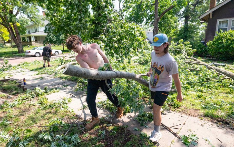
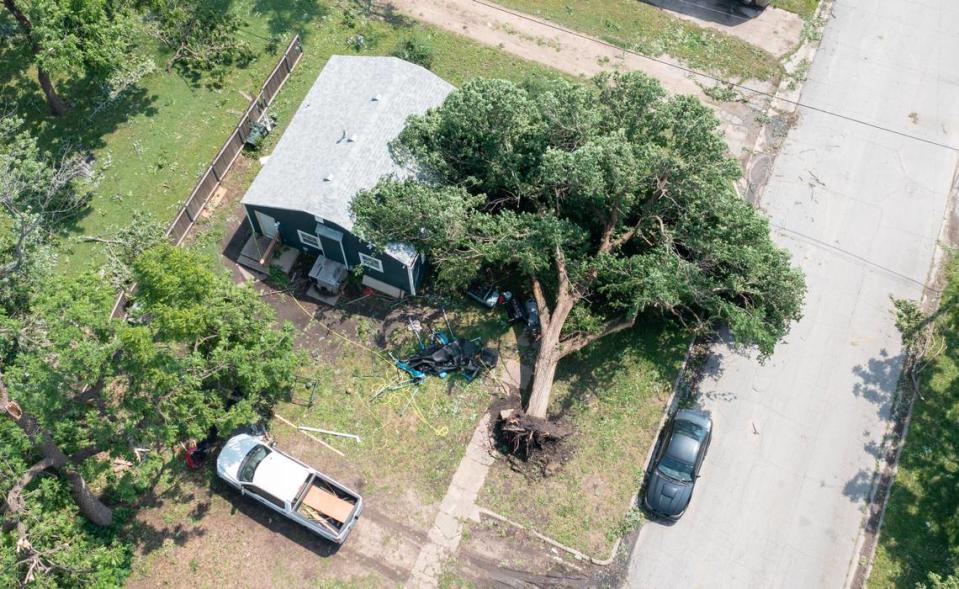
In Halstead, wooden utility poles were snapped. Many streets had downed tree limbs and tree branches. The roofs of some buildings were ripped off or damaged.
Newton reported that several buildings were damaged throughout the county.
Newton city crews are clearing major tree damage in parks and cemeteries and street. Evergy is removing downed power lines, the city said in a social media post Wednesday.