Hidden in plain sight: Archeologist finds evidence of ancient tribal community in Orleans
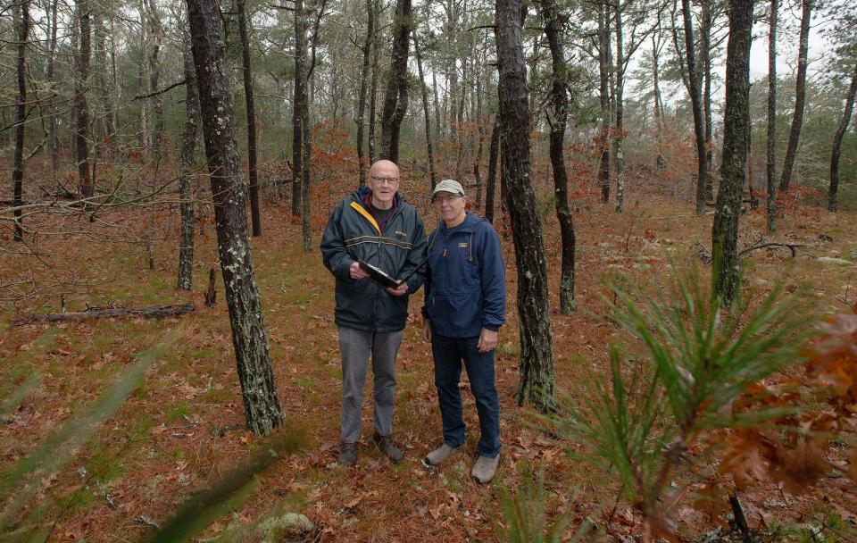
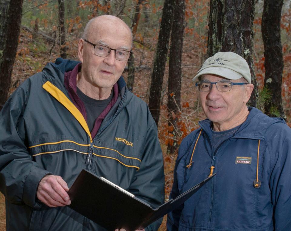
An archeologist's examination of an Orleans conservation area is shedding light on Wampanoag history previously "hidden in plain sight," according to Historical Commission Chair Ronald Petersen.
"We have evidence of Indigenous habitation of the area that goes back probably 9,000 years," said Petersen. "Everyone has kind of always assumed that. But we now have it cast in stone that that is a fact."
Conducted by archeologist Daniel Zoto, the archeological reconnaissance survey at The Marion Hadley and Samuel Watson Peck Property Conservation Area has helped "develop a history of our land that’s more inclusive," said Petersen.
Zoto found evidence of shell middens, wetu sites, boulder quarries, isolated artifact finds, and burials that date from the Late Archaic period (ca. 6,000 – 3,000 years ago); through the Woodland period (3,000 – 500 years ago); and contact (AD 1500 – 1620) periods, according to Zoto's public outreach document.
In accordance with archaeological ethics and state law, the exact locations of these sites aren't open to the public, said Zoto.
The survey showed the sites were continuously used by Wampanoag people for at least 4,000 years, besides short seasonal movements.
The information compiled by Zoto, said Petersen, will be shared with the public during "The Archeology of Orleans" a series of public education events the Historical Commission will hold in May.
The success of the survey has prompted the Historical Commission to seek additional funding, which will allow for Zoto to examine other areas.
"There’s still a lot of unanswered questions and a lot of territory to explore — but we are charting our way," said Petersen.
What did the archeological reconnaissance survey find?
Zoto conducted the survey in December 2023 within a one-mile radius at Peck Property — an area previously identified as the site of a 17th and 18th century Potanumicut Indian Village. He spent three days examining the 10-acre property, and another 25 days conducting archival research, and creating sensitivity maps.
Throughout the ground-level survey, Zoto looked at aspects like landforms, proximity to natural resources, drainage, and already known archeological sites. He also looked at historic research road structures, which he said determines archival sensitivity to the property.
"During this survey, I used 1-inch diameter soil probes to see if soils were intact and undisturbed," said Zoto. "One inch localized disturbance can go down 18 inches if you’re lucky - before hitting rock."
Who were the Potanumicut Indians?
The Potanumicut were a Christianized praying Indigenous community made up of the Nauset and Monomoy "tribes or bands groups." said Zoto.
"They would be considered Wampanoag and recognized as being from the larger Wampanoag federation," said Zoto.
According to Zoto's public report, the study compiled and synthesized information about the Potanumicut Village area and identified a strong Native American presence evidenced by archaeological sites, written history, and numerous place names like Namequoit, Portanumicut, Quanset, and Kescayogansett, which are still in use today.
What kind of reports were generated from the survey?
Zoto concluded the survey by producing a report for the Historical Commission, and the Massachusetts Historical Commission, along with the public education summary. An archeological sensitivity map was also created and can be used as a guide for the town to improve areas like walking trails. Benches and handicap accessibility features can now be added to the property without accidentally disrupting archeological sites.
"Knowing where these sites are helps protect them for the future," said Zoto.
Right from the beginning, said Petersen, the Mashpee Wampanoag Tribal Council and the Gay Head (Aquinnah) Wampanoag Tribal Council were notified of the survey, and provided copies of Zoto's full report, said Petersen.
"We are hopeful that we will be doing this in tandem with them as we move ahead," said Petersen.
Tribal THPO says "be discreet"
Mashpee Wampanoag Tribal Historic Preservation Officer David Weeden said Zoto supplied information about the project to the tribe, along with survey results.
“Dan conducts these projects in a respectful way and we have a good working relationship,” said Weeden. “He communicates often which is what we want to see when there are projects like this going on.”
After receiving survey results, Weeden said he gave suggestions to Zoto on how the Tribe would like to see the area protected from poachers. It can be risky, he said, to call attention to areas that contain cultural objects.
Towns want to do the right thing, he said, by investigating Wampanoag history. But the tribe, said Weeden has a responsibility to "protect the ancestors and whatever else is out there."
“You don’t know how people will use that information and possibly disturb burial sites,” he said. “It’s weird and scary but it happens. We want to try to be as discreet as possible.”
Will there be archeological digs or surveys in Orleans' future?
Unless an archeological site is going to be impacted or destroyed by some type of development, said Zoto, preservation is the best thing.
"Archeology today is identifying sites and trying to protect them by leaving them alone," said Zoto.
Zoto called Native American and early historic archeological sites a finite resource.
"You can’t go back in time and make another archeological site," he said. "They are often impacted by construction and development. And also natural processes like coastal erosion."
The general area, said Zoto, was excavated in 1965 and 1966 by local advocational archeologists, who didn't take very good notes, he said.
"The only site map is on the back of an index card with squiggly lines," said Zoto. Materials from that excavation are curated at the Cape Cod Museum of Natural History. Zoto's findings will also be added to the museum's exhibit, said Petersen.
Will Zoto's work in Orleans continue?
A $7,500 Community Preservation Fund grant was used for the Peck property project, said Petersen. And the Historical Commission has applied for an additional $20,000 for future archeological surveys. The community will vote on whether to grant the funds during May Town Meeting, he said.
"At this stage, we are fairly optimistic that we will receive that," said Petersen. "The Peck property is a relatively small part of that larger area. It’s a ripe area for exploration."
Depending on funding, surveys could also expand into the Nauset estuary area, said Petersen. Wampanoag civilizations used Nauset Heights for shellfishing, and to grow corn and other crops, he said.
"That’s a lot of what is described in (French explorer and cartographer Samuel de) Champlain’s writing," he said. "It’s an area we believe has needed more attention for some time."
Why are archeological surveys important?
Learning about the past, helps people understand "how we get to the present," Zoto said.
"Life in 2024 is not in a vacuum. it’s within this very long historical context," said Zoto. "That gives a better appreciation for the human attachment to the land you live on. It helps us make better decisions on how to manage that in the future."
For Petersen, it's about telling the truth in a sensitive and respectful manner. Too often, he said, history is only told from a colonized perspective.
"We know that the Wampanoag people had agroecological advanced tribal structure and governance. That's what got left out of the Mayflower myth," he said. "We are looking to fill in the gaps in terms of the land that Orleans today occupies."
Rachael Devaney writes about community and culture. Reach her at rdevaney@capecodonline.com. Follow her on Twitter: @RachaelDevaney.
Thanks to our subscribers, who help make this coverage possible. If you are not a subscriber, please consider supporting quality local journalism with a Cape Cod Times subscription.
This article originally appeared on Cape Cod Times: New Cape Cod survey has a story tell about ancient Wampanoag presence

