Another round of Severe Weather likely for overnight and Saturday
DOTHAN, Ala. (WDHN) — The National Weather Service placed The Wiregrass under a tornado watch and a flood watch Friday night.
Both watches come as strong-to-severe storms will move through our area until about 10 p.m.
The tornado watch was previously in effect through 10 p.m. but has since been canceled as tonight’s first round of storms moves out of the Wiregrass. Another round of severe storms is still possible early tomorrow morning, beginning as early as 2 a.m., but is more likely by 5 a.m., bringing large hail, damaging wind gusts up to 70 mph, and isolated tornadoes. Our area is under a level two (slight) risk of severe weather tonight.
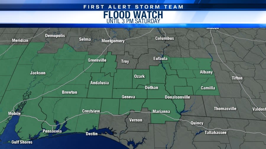
The flood watch goes until 3 p.m. tomorrow. Repeated storms could drop three to five inches of rain, with isolated higher amounts. Our northern areas are under a level three (moderate) risk of flash flooding today, while the southern three-fifths of our area is under a level two (slight) risk.
The strongest activity is forecast to move out by 10 a.m., but scattered showers and storms could linger into the afternoon.
We will continue to keep you updated on-air and online on our Facebook Live.
Copyright 2024 Nexstar Media, Inc. All rights reserved. This material may not be published, broadcast, rewritten, or redistributed.
For the latest news, weather, sports, and streaming video, head to WDHN - wdhn.com.

