The Vastlands
A Skier's Love Letter to the Great Basin
Foreward by Hans Ludwig
Story and Photos by Conor Phelan
In an era where the defining opinion about skiing, even backcountry skiing, is that it’s over-crowded and blown out, a group of Reno-based skiers have found a very big escape hatch: Nevada’s Great Basin.
It shouldn't really come as a surprise: the state’s name means snowy in Spanish, and it has over 300 mountain ranges and more than 50 peaks over 9,000 feet. So it stands to reason there’s skiing out there in the big empty of the Great Basin. And with two obvious exceptions—the Ruby Range and the Wheeler Peak/Great Basin National Park area just west of the Utah border—those mountains are about 99 percent unknown for ski purposes.
After multiple trips to explore the Big Empty, starting in 1997, I know it a little. In a 2010 feature for Powder about skiing in central Nevada I wrote that “...skiers, thousands of them every year, drive right by on Hwy 50 or 6 or 95 as if it were all invisible. They look past the shimmering Roberts Mountains, the great white sails of the Diamonds, the sprawling labyrinth of the Desatoyas… without even considering the possibilities.”
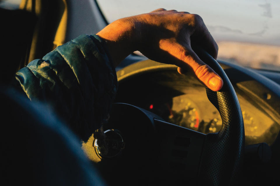
Photo: Conor Phelan
Reno-based academic mapping specialist Conor Phelan is considering the possibilities. Phelan, along with ski buddy Will Boyer and an ever-increasing crew of partners, has been rallying out into the desert on weekends for several years, attempting to ski the 61 most topographically prominent peaks in the Great Basin. They are having as much fun as possible along the way.
With his backcountry baptism in the fire of Montana’s bushwhack-intensive Bitterroot Range, a competitive running background, and graduate-level map skills, Phelan, who rarely skis at actual ski areas, is an ideal candidate for these deep space missions. “You can actually build spatial awareness skills,” he says. Such skills are vital for negotiating the maze of dirt roads and complex approaches that protect many of the desert peaks.
“The baseline understanding should be that there is nothing out there. No bathroom, no snacks, no gas,” he says. “We did one mission from Tonopah that burned an entire tank of gas and seven of 10 gallons we had in cans by the time we got back there.”
And seeing other skiers? Hardly.
“One time in the Schell Creek Range we saw some tracks low down, and in Lamoille Canyon or Great Basin National Park,” he says. “Apart from that, we never come across other skiers or tracks.”
Phelan has been photographing and documenting his trips on his blog called SkiingtheBasin.com, which is how I stumbled onto his project. His site is by far the deepest and best representation of Nevada skiing out there—a cornucopia of remote roads, labyrinthine canyons, and huge views from craggy and complex peaks, first descents in every direction. Phelan and friends aren't trying to Get Rad out there, but they are skiing some incredibly cool lines that would be destinations in Utah or Colorado, pioneering something genuinely new in the ski world. They’re doing cool stuff in a great fun-first style, and it’s not for clicks or money or claiming (they do get support from Moment Skis), but the pure love of getting friends together to have an adventure.
The following pages include photos and words by Phelan that originally appeared on his blog and help shed light on some of those adventures. He credits Boyer, Lacey Hankin, and a crew of friends for supporting and joining him along the way.
“A friend of mine said that my project is a love letter to the Great Basin,” Phelan says. “I think people should just go check it out. It's impossible to portray the vastness. The night skies are unbeatable. The animals, the weather, the whole experience. There’s nothing like it in the Lower 48.” — Hans Ludwig
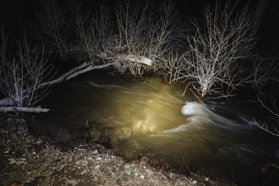
Photo: Conor Phelan
Currant Mountain
April 26, 2023
The first thing I noticed when I turned off the car was the sound of rushing water. Currant Creek was overflowing to such a degree that it had flooded over into shallow depressions adjacent to the streambed. It was a stunning amount of running water for this part of the world.
We were camped in the middle of a zone where there had been some considerable pinyon-juniper encroachment management. Needless to say, there was an abundance of fuel for our ripping bonfire.
Of all the remaining peaks on my project list, Currant Mountain haunted me the most. One can never be 100 percent sure, but as far as I know, Currant was the last Nevadan crown jewel yet to be skied.
Massive limestone rock formations, gorgeous bristlecone pines, highly complex terrain, and fairly reliable snow year-to-year make Currant an attractive objective for the adventure-oriented skier. If not for its remoteness and near total lack of beta I could even imagine Currant becoming a "classic."
This year in particular our historic snowpack pulled back the curtain on Nevada's ski potential. I have experienced well over 10 times the number of folks reaching out for information, maps, or looking to join in on the fun. This is an exciting trend, and one of the core goals of my project.
While we aren't usually motivated by first descents, I had spent so much time mapping and remapping ski tours on Currant that it worried me someone would scoop it before us.
We packed into the Suby, and after the five and a half hour drive from Reno, made it a comical quarter mile up the dirt road before getting stymied by a large snow drift. Our walk began far sooner than we had hoped. A couple miles of patchy snow and dirt led us towards a low saddle well below Currant's south ridge. The weather was splendid and the four of us moved efficiently. As our heads popped out of the trees we began to take in views of the surrounding terrain. An endless labyrinth of ski descents beckoned up every drainage.
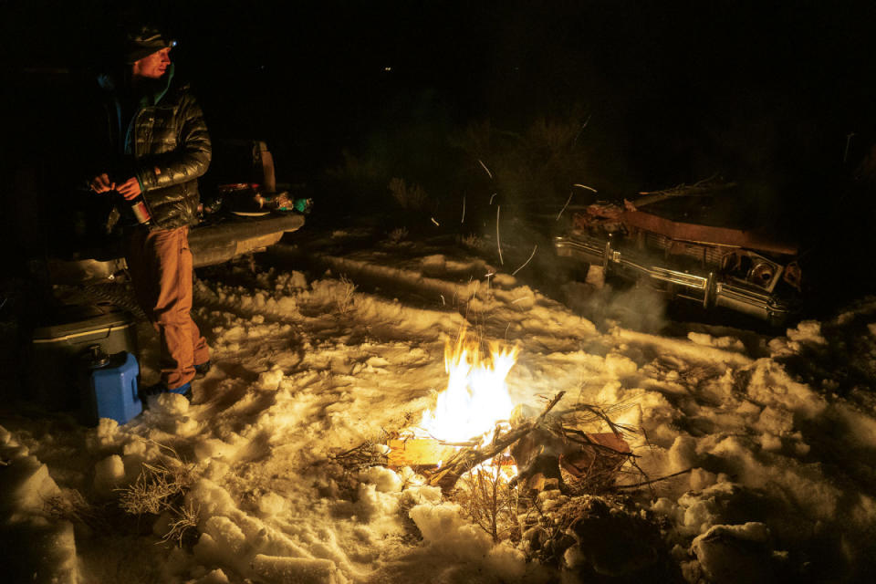
Photo: Conor Phelan

Photo: Conor Phelan
Star Peak
May 14, 2019
As a recent transplant to Reno, it has taken a concerted effort to try and get a sense of all the varied terrain at my disposal for my equally varied outdoor interests. One place that has already captured my attention is Nevada's vast Great Basin, and more specifically, the Humboldt Range. Considering that I usually have trouble getting myself to revisit a trailhead or mountain more than once, it is noteworthy that I have already been to the Humboldts three times, with a plan for a fourth visit in the works.
The crown jewel of the Humboldt Range is Star Peak. At over 10,600 feet, this mountain towers over the surrounding arid landscape—a beacon for adventure. The peak is also one of Nevada's 65 summits with over 3,000 feet of prominence. I have recently concocted a plan to try and ski as many of these as possible (some don't get snow, others are in restricted military zones) as part of what I am calling The Prominence Project. More on that some other time.
Photo: Conor Phelan
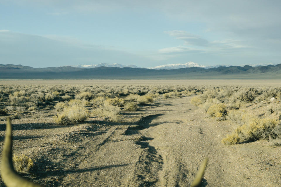
Photo: Conor Phelan
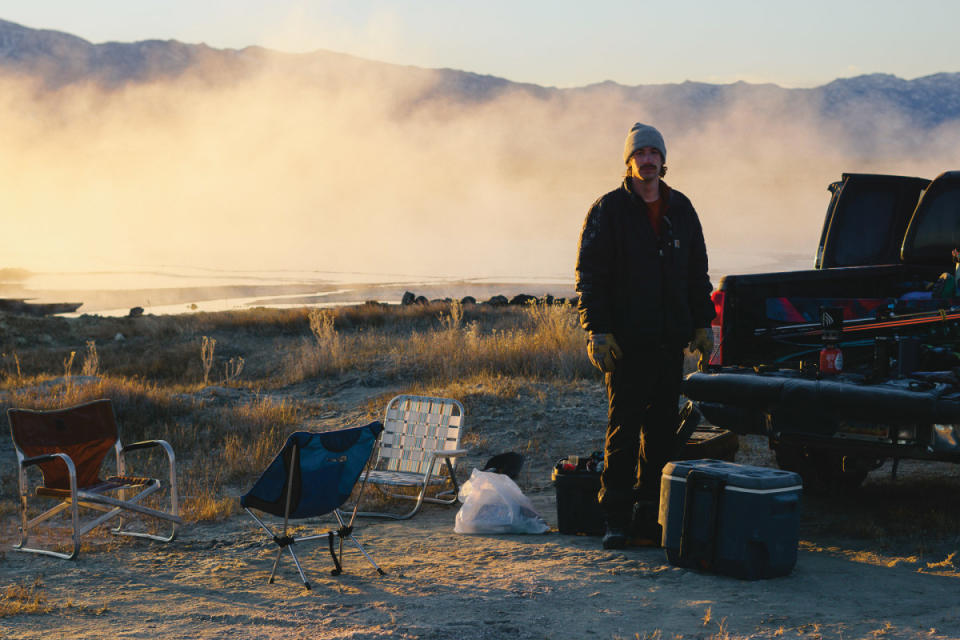
Photo: Conor Phelan
King Lear Peak
March 4, 2020
For the fourth weekend in a row I found myself driving east on 80, hunting for snow, this time with a Basin-newcomer in tow. Bryant was nice enough to drive, which ended up being critical as he was able to get us several miles back on a gnarly dirt road. Thick woody brush eventually halted our motorized progress, and a wary herd of mule deer looked on as we readied up for the day's tour.
As our objective loomed overhead, we shook the drive out of our legs with some easy sagebrush walking.
The absolute dearth of snow on south slopes stood in stark contrast to the blindingly white faces across the valley. We were just glad to see there was any snow at all.
Photo: Conor Phelan
Duffer Peak
February 10, 2021
Duffer Peak stood almost 5,000 feet above our starting point and over six miles distant. Will and I were both a little tired and groggy from our tour and hot springs soak the day before. The first few miles were tough on us mentally as we ever so slowly worked our way past the first line of peaks.
The views, however, were astonishing. The vast Black Rock Desert spread out before us—miles and miles of wilderness, with an equally endless sky above.
Duffer Peak is an interesting summit in that it has a twin peak just to its east. Both mountains are characterized by steep north faces and long south ridges, almost like warped pyramids. Duffer Peak is about 100 feet taller than East Duffer, but it was East Duffer and its gorgeous north couloir which came into view first.
The gray-green sagebrush had transitioned into thick whitebark groves at these higher elevations. My camera spent a lot of time in my backpack as we bowed our heads to the wind and slogged our way past East Duffer.
Photo: Conor Phelan
We ripped skins and etched our way down to the entrance of the north couloir. Feeling confident with the stability and ski-ability, we dropped in, perhaps the first time a skier has done so on this aesthetic mountain line. The hardpack snow on the sheer face held our edges well, making for fun and confidence-inspiring turns.
Hootin' and hollerin' at the bottom, morale fully restored, we made our way up one final climb before skiing nearly 4,000 continuous feet right back to the truck. We treated ourselves to Juanitas and Pacificos, and basked in the late afternoon light.

Photo: Conor Phelan
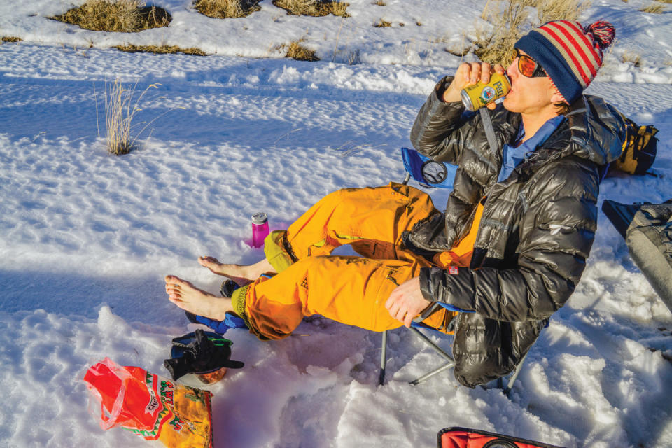
Photo: Conor Phelan
Mount Lewis
February 24, 2021
It was an arctic night and I tossed and turned beneath all my layers until the pre-dawn sky was bright enough to start the day. Embers were still glowing in our fire pit and I was able to coax some flames out of the ashes. Sipping our coffee and thawing our bodies, we savored the natural world waking up around us.
Mt. Lewis is home to an FAA communications installation, and as such, has a well graded and maintained road all the way to the summit. At sometime in the recent past it had even been plowed, but fresh drifted snow had us parking miles from the top.
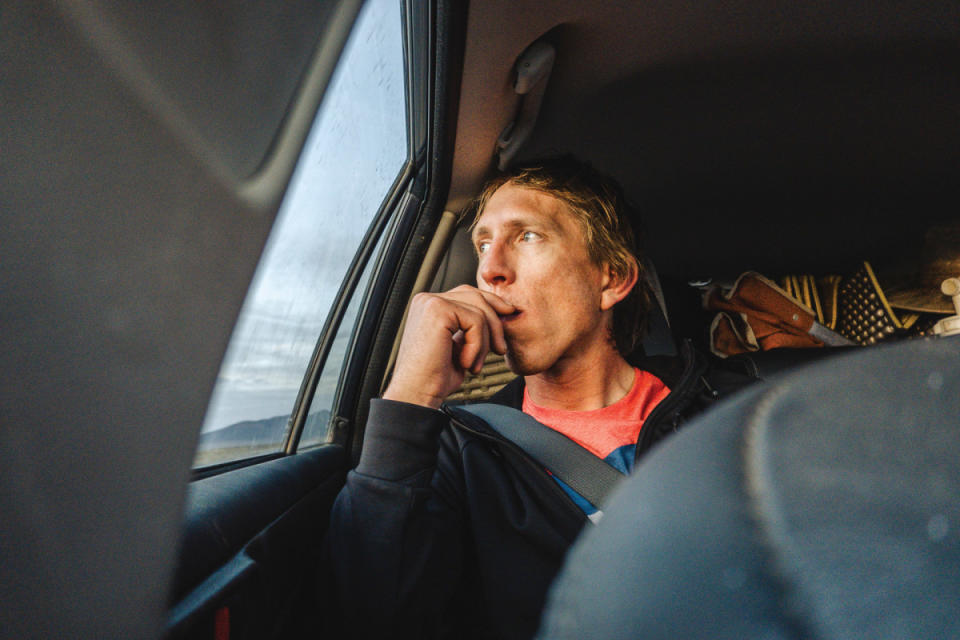
Photo: Conor Phelan
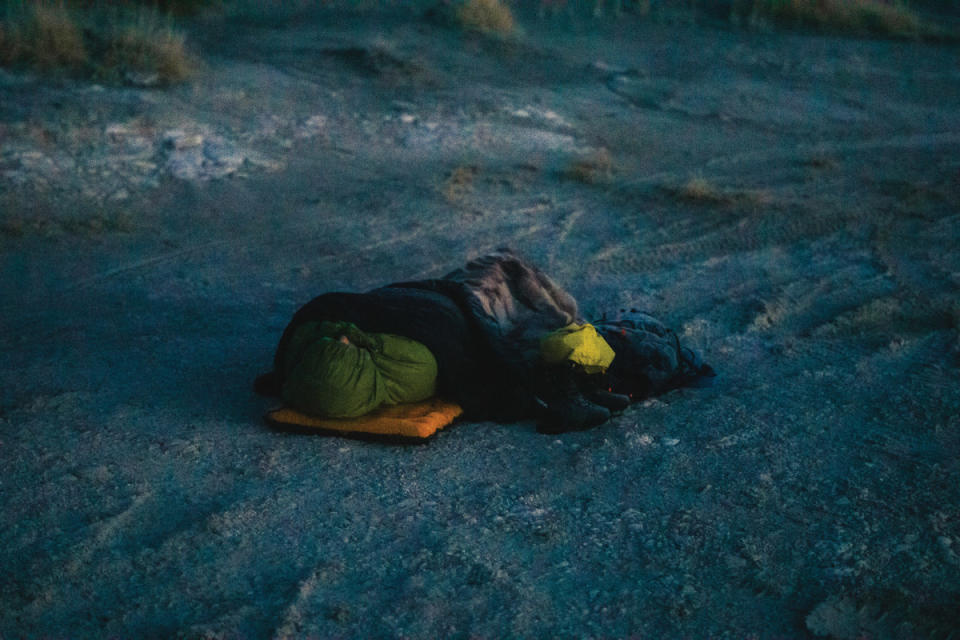
Photo: Conor Phelan
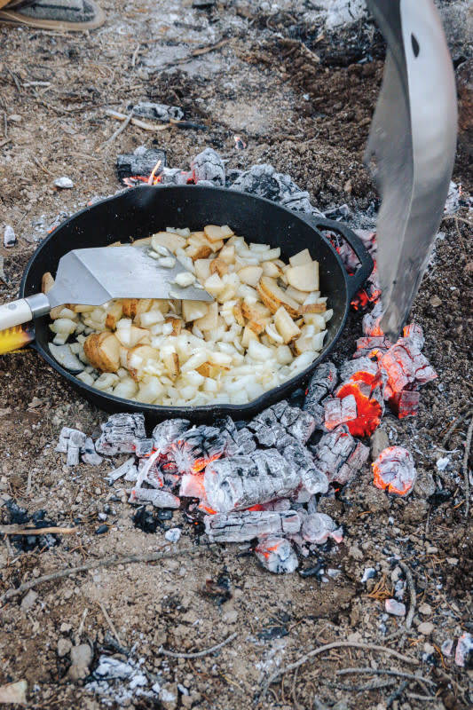
Photo: Conor Phelan
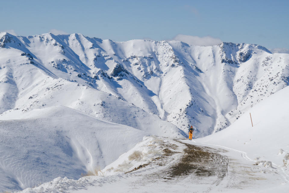
Photo: Conor Phelan
Bypassing the western false summit we etched our way toward the rime-riddled peak. From the very top we had a stellar view into the massive east bowl, and immediately spotted a money line.
The second series of turns took us across a fairly low-snow zone, and we each nailed a couple of rocks. That traverse put us into position to open it up on the face itself. The impressive cliffs had provided plenty of lee for the wind, and the snow had settled softly. Some of the best turns of my life! It felt so good to open it up.
Now, several miles from the truck and on the opposite side of the mountain, we faced a long exit. We ascended the couple thousand feet of vertical we had just thoroughly enjoyed losing, and headed for the west sub-summit.
The direct south-facing line was just too good to pass up. West and northwest winds had kindly favored this aspect, filling it in with lots of great powder.
The skiing was phenomenal.
Ward Mountain
January 26, 2022
This past weekend felt like being on a boat at sea shortly after passing through a storm. Metaphorically and literally, the sky cleared, the wind lightened, and I felt at ease. I was out where I feel like I belong, amongst the snow and sage, hugged by a warm fire, gazing over the vastness of the Great Basin.
Shingle Mountain (Right Peak at the Right Time)
January 30, 2023
The theme of the weekend was a general state of suspended disbelief. The mountain ranges in this part of Nevada see very little snow year to year… and here we were, about to ski in deep blower powder.
Our approach to Shingle Mountain took us past a rare grove of Great Basin ponderosa pines and then banked to the southwest as the terrain sloped upwards. We swapped out trailbreaking duty, hard work through the deep snow. The terrain was complex and heavily treed. Will made an interesting point that as a result of receiving so little snow, these ranges aren't sculpted as much by avalanches. The result is fairly continuous tree coverage across the entire face of the mountain.
Before long we reached a viewpoint on Shingle's north ridge. Will would later say this was one of his highlights of the trip. The landscape opened up before us. Massive views of rarely visited peaks uncharacteristically smothered by feet of snow.
Right from the top we were able to ski a fun and sneaky couloir that cut on a diagonal through a large north facing cliff. Will went first, ski cutting a couple suspect sections before blasting out of the barrel.
We met up at the bottom of the chute, the entire north bowl awaiting our tracks. Bombing through the deep powder we must have made quite the scene. Three hooting and hollering goofballs in the middle of nowhere.
The skiing was so good we didn't hesitate to punch a skintrack back up to the ridge for a second lap.
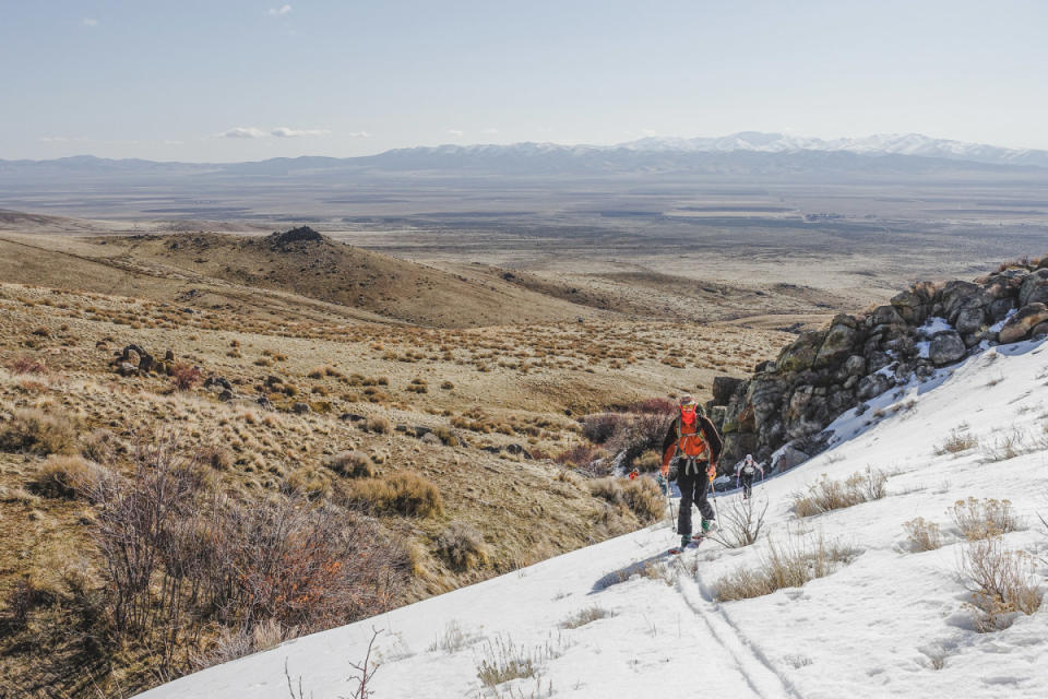
Photo: Conor Phelan
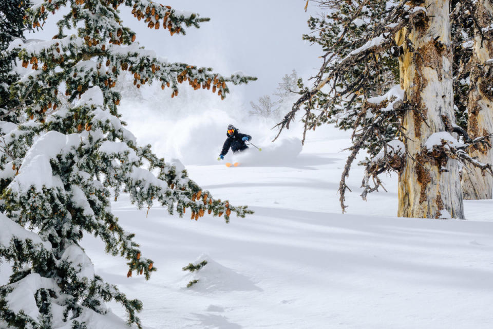
Photo: Conor Phelan
Troy Peak
February 28, 2023
Our approach route was simple, at least on paper. Departing the abandoned mining ruins, the plan was to skin up the south fork of Troy Creek directly to a phenomenal looking couloir which would take us to the summit ridge. With every step the canyon narrowed, but we faced only a few brief moments of true bushwhacking.
In due time the canyon widened greatly and we had wonderful views of the peak and surrounding ski terrain. A broad semi-forested ridge provided passage to the steeper and more cliffy sections up high. Breaking trail was still brutal, and Hunter and I began to deplete our tanks. Just when we needed it most, Will took the lead and smashed in a skintrack up the final few hundred feet to the ridge. Our route took us through one of the more impressive ancient bristlecone pine groves I have had the privilege of visiting.
We were ecstatic on the summit. Troy really made us work for it, and that made it all the more satisfying. Taking a few minutes, we ate some food while gazing off into distant valleys, many thousands of feet below.
Perhaps my favorite view was the closest one. The ridge to the south was awe-inspiring. Broken cliffs dropped hundreds of vertical feet to the west. A labyrinth of gullies and rock spines dropped thousands of feet to the east.
After one last glimpse of Troy we dropped into the canyon. Zipping along at high speeds we had to constantly be on the lookout for branches and downed trees strewn across the tight confines.
We covered ground far more quickly than anticipated, the slope angle just high enough to efficiently slide the entire way back. Golden-hour colors splashed on the surrounding ridgelines as we gobbled down chips and poked around the old mining ruins.
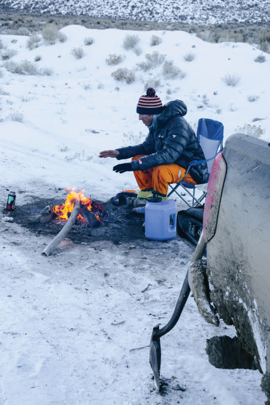
Photo: Conor Phelan
Morey Peak
Will has been staring at maps of Morey Peak for 10 years, dreaming that one day that it would be skiable. Here we were, about to give it a go.
The first mile or so of the approach was a pleasant dirt walk through a pretty stand of pinyon pine. Well, not as pleasant for poor Will who stepped squarely on a cactus and had to remove two long spines from his heel.
A deep canyon was our only option of reaching the goods. Short sections of easy skinning were interrupted by awkward schwacky parts. A mixture of thorns, unsupportable snow, and unedgeable snow made for tough going. The fantastic views, magical icefalls, and unique terrain kept morale from ever bottoming out.
On the map a long curling couloir had the potential to guide us to the top of one of Morey Peak's sub-summits. Morey itself offers much less interesting ski terrain compared to the slightly lower peaks that surround it.
Leaving behind the brush we popped out into the open. A stunning corridor of snow led upwards through the cliffs. Thankfully, it was firm enough that we could transition to booting and make far better time. A short blue-ice step, perhaps 10-15 feet tall, was our only difficulty. I blew out a crampon trying to get purchase and had to resort to scrambling up the adjacent rocks and névé.
As the couloir bent to the south it widened and became more densely treed. Once again, we found ourselves climbing amongst the ancients. With every step the views also widened.
To reach the summit proper we had to scramble along a knife-edged ridgeline. It was a spicy and exciting way to top out.
Huddled on our airy little summit we drank in the scenery and wondered at how many other people had ever stood on that spot. To the west, Table Mountain dominated the horizon. To the east, our ski descent from the day before was visible on the distant Grant Range.
The ski conditions were uninspiring. Firm, chattery snow was the name of the game for the most part. An unreal setting more than made up for it, and we still had plenty of fun.
Bracing ourselves for the egress, we were pumped to make quick work of the bushiest parts of the canyon. There were even a few opportunities for fun drops and soft turns.
Back at the truck, Will was more than happy to let Hunter and I gas it up. With fresh fuel in the tank and our gear loaded, there was only one thing left to do. Head home.
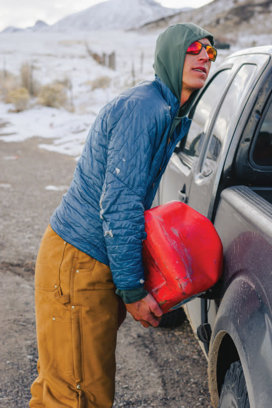
Photo: Conor Phelan
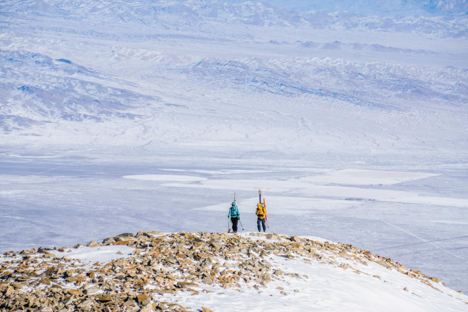
Photo: Conor Phelan
Photo: Conor Phelan
Currant Mountain
April 26, 2023
A short traverse put us at the base of a long southeast facing tube that would take us to the main ridge. At some point in recent history a fire had raged through this zone. A silver lining, the fire made for easy travel between the remnant telephone pole skeletons.
Our ascent route was stunning. A massive spine of limestone buttressed the east side of the chute, making for an incredible visual and the occasional break from the sun.
As we ascended we traded lower elevation pinyon for higher elevation bristlecone. Their tell-tale brushy branches hardly shifting in the still air.
From my position on the ridgeline I could tell that it was indeed sheer, complicated, and at least partially snow-covered. I truly had no idea what to expect. I had carefully studied summer photos from this one fella's blog, but it was altogether impossible to know from summer photos if snow would stick to what is essentially a monolithic vertical stone wall.
One by one we arrived on the summit. I felt my soul fill to the brim: standing on a Great Basin monarch with outstanding views, comfortable weather, and a great crew.
We pondered our descent options for a few minutes. The west face, stacked with snow, looked primo. However, the longer than expected road walk that morning sullied the group's desire to drop further away from camp. We knew the south face would ski nicely, but we hadn't come all that way to descend the shortest and most benign option.
That left the east face.
There were two possibilities: downclimb or the maze. The downclimb consisted of a short but exposed bit of snow that led to a hanging ramp. We could see quite clearly that this ramp would lead all the way down. The maze option would have us skiing the upper face directly from the summit until it rolled menacingly out of sight. From there we would have to try to figure it out. We chose to go for the maze, demurring on the idea of downclimbing without a rope.
As we worked our way down we would periodically have a view of the slope the other team was navigating. The usual reaction was, "damn, they are in some highly consequential terrain," not quite grasping the insanity of our own position. Johnny led the way and we traversed hard to the right, constantly looking for a weakness in the geologic armor. We poked down numerous ribbons of snow only to have them end in behemoth cliff drops. Remaining optimistic, we finally found a chute that snuck through the panels of rock.
Safely at the bottom, we regrouped amidst gargantuan piles of old avalanche debris. Only then did we have a complete picture of what we had just skied. I, for one, was thankful we had dropped in blind. Knowing what lay below may have brought on unnecessary jitters when you least want them.
There were high fives all around, and then a couple thousand more feet of cruiser party skiing.
Lauren had to depart for work the next day and loaded up her van. Her dust cloud hadn't even settled by the time we had another crackling fire.
Photo: Conor Phelan
We relaxed, cooked up some delicious Alaskan bear chorizo tacos, and kept the fire raging as we debated our options for the next day. Despite the plethora of amazing ski terrain, we felt little motivation to repeat the annoying road walk. Randomly, Will threw out the idea of heading back to Troy Peak, the next major summit to the south.
Why not?
Somehow, Johnny had cell service, and he was able to confirm that snow coverage and overnight temps would be favorable. We shoveled snow into the fire and set off at 9:30 p.m. on a two-hour dirt road quest which we hoped would put us in striking distance of Troy the next morning.
Honestly, that drive was the most stressful part of the weekend. It was great fun rallying those roads, but I couldn't help ponder the extreme remoteness of our situation as I piloted the Suby through chunky creek beds and high-speed doubletrack. I was exhausted and relieved to finally park for the night. The Great Basin starry sky glittering above was the last thing I remember before passing out in my sleeping bag. — Conor Phelan
The above article runs in the current '23/'24 print issue of POWDER. Purchase your copy HERE!


