Here's the ultimate guide to 17 cool California waterfalls near Redding. Search our map.
To Julie Lorenzen, there is more to waterfalls than meets the eye. As someone who likes to photograph waterfalls, she appreciates their visual beauty.
But she also gets something that she says her camera can't capture through its lens. She describes enjoying waterfalls as a full-body experience.
"I was shooting photos of Burney Falls at night, trying to get the Milky Way over the falls, and it was just really cool because you couldn't see the waterfall itself, but you could feel it," Lorenzen said. "And then the whole thermocline, going from the top of the trail down to the bottom. It must have been like a 10- to 15-degree difference in temperature. So just being able to be in the presence of that really big waterfall and not being able to see it, but just being able to feel it."
North State residents and visitors have dozens of waterfalls to choose from ― from the large, powerful ones like Burney Falls or Middle McCloud Falls. There also are falls that look like thin curtains of water cascading over mossy rocks into quiet pools, such as Mossbrae Falls.
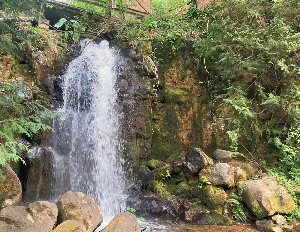
And there are the smaller, unassuming falls like Sweetbriar Falls, that offer a cool refuge during a hot summer day in the North State.
"I just think people like waterfalls because of the mystery of them, how long they've been there, where they come from, the forming of the waterfall," Lorenzen said. "That's why I like waterfalls so much, is just the mystery of them and the power of them. Even the little ones are really cool."
Whiskeytown National Recreation Area alone has four waterfalls surrounding the lake: Crystal Creek Falls, Boulder Creek Falls; Brandy Creek Falls and Whiskeytown Falls.
One recent day in May, Monika Mankiewicz and Johnny Sampson stopped at Crystal Creek Falls near Whiskeytown Lake while on a tour through the North State to scout areas to go on their honeymoon.
The couple from Los Angeles marveled at the waterfall and took selfies with the cascading water in the background.
"There's just something about them," said Mankiewicz. "I could just stand still and contemplate them and think about adventure."
The Record Searchlight has compiled a list of waterfalls in the North State to visit during the hot summer days ahead. This list does not include all the waterfalls out there. Many are on private property or are in places that could be a bit more of a challenge than the novice hiker would want to take on.
And frankly, there are many waterfalls that are still relatively unknown. But here are some destinations to get you started and to enjoy.
Note to readers: If you enjoy the work we do here at the Redding Record Searchlight, please consider subscribing yourself or giving the gift of a subscription to someone you know.
Where to see North State waterfalls
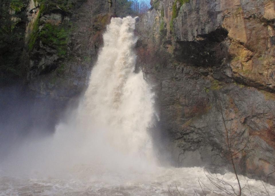
Burney Falls ― This is perhaps the most famous waterfall in the North State and one of the most well-known in California. The falls are located north of the Highway 299 junction and within the McArthur-Burney Falls Memorial State Park. The spring-fed waterfall cascades 114-feet over a sheer cliff into a large, cool pool below. While the waterfall is tantalizing to look at, access this year is difficult, and in many respects discouraged. California State Parks officials have closed the trail to the bottom of the falls while work goes on to repair and improve the trail. There is also road construction on Highway 89 leading to the park, causing even more congestion in the area.
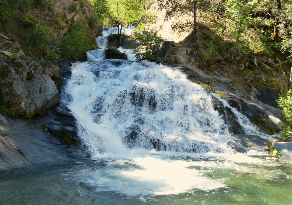
Lower McCloud Falls ― These falls are located south of Highway 89 and east of the community of McCloud. Take Fowler Public Camp Road south about a half-mile to a parking lot and trailhead. It’s a short hike, less than a quarter mile, to the Lower Falls.
Middle McCloud Falls ― This is one of three waterfalls that are located fairly close together. The three waterfalls on the McCloud River above McCloud Lake are relatively easy to reach. The Middle Falls, arguably the most scenic of the three, can be reached south of Highway 89, just east of the town of McCloud. Take the Fowler Public Camp Road to Upper Fall Road and turn left. Follow the road a short distance to the parking lot. There is a trail to an overlook, which also continues to the bottom of the falls.
Upper McCloud Falls ― Getting there means taking Highway 89 east of McCloud, going south on Fowler Public Camp Road. Turn left on Upper Fall Road and go about a quarter mile past the parking to the Middle Falls. There is another parking lot and overlook for the Upper Falls.
Hedge Creek Falls ― Access to this waterfall is pretty easy, with parking off Mott Road, along the west side of Interstate 5 near the Siskiyou Avenue exit. The spring-fed falls drop 28 feet into Hedge Creek as it flows into the Sacramento River in Dunsmuir.
Mossbrae Falls ― Another very well known, photogenic waterfall just outside Dunsmuir in Siskiyou County. Access to the waterfalls is difficult, though, since Union Pacific Railroad has forbidden people from walking along the railroad tracks to get to the falls.
Potem Creek Falls ― It’s a pretty short and easy hike down to the 70-foot high waterfalls from the Fenders Ferry Road parking turnout. Travel about 20 miles east of Redding on Highway 299 and hang a left on Fenders Ferry Road across from Halcumb Cemetery and drive about 9 miles north on Fenders Ferry Road. There is a turnout on the dirt road and the falls are about a quarter miles down a trail.
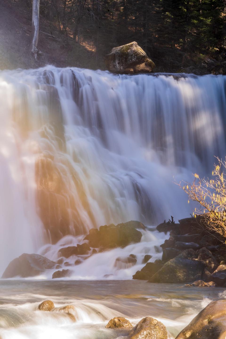
Whiskeytown Falls ― Of the four waterfalls in Whiskeytown National Recreation Area in Redding, Whiskeytown Falls is the highest at 193 feet, according to the World Waterfalls Database. To get there, go west on Highway 299 from the recreation area visitor center and go left on Crystal Creek Road and travel about 4 miles to the trailhead. It is about a 3.4-mile roundtrip hike to and from the falls.
Crystal Creek Falls ― From Highway 299 on the western portion of Whiskeytown National Recreation Area, follow Crystal Creek Road for 2 miles. Turn left into the Crystal Creek Falls trailhead and parking lot.
Boulder Creek Falls ― Start at the Visitor Center and drive 7 miles west on Highway 299 to the Carr Powerhouse turnoff on the left. There are two access routes to the Boulder Creek Trail. Hike uphill from South Shore Drive (2.7 miles one way) or from the top of Mill Creek Road (1.1 miles one way).
Brandy Creek Falls ― The trail to Brandy Creek Falls is closed due to trail damage following the 2018 Carr Fire.
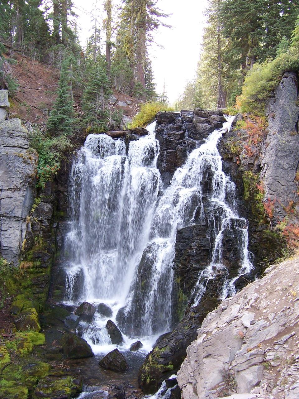
Kings Creek Falls ― The Kings Creek Falls trailhead is located just off the Lassen Volcanic National Park Highway. The roundtrip hike leading to the falls is just under 2.5 miles. According to the World Waterfall database, the fall is 46 feet high.
Mill Creek Falls ― Located in Lassen Volcanic National Park, the trailhead to the 72-foot high falls is located near the Kohm Yah-mah-nee Visitor Center. It’s about a 3.8 mile hike to and from the falls.
Sweetbriar Falls ― These are a small surprise about 30 minutes north of Redding. They are east of Interstate 5, just off Falls Avenue in Castella. They are located to the right, shortly after crossing the bridge over the Sacramento River.
Feather Falls ― This is a trip that will likely need to be saved for a future year, after repairs to the trails leading to the falls have been completed. Dropping more than 640 feet, these falls rival Yosemite’s Bridal Veil Falls. Getting there is a 9-mile round trip hike from the trailhead off Lumpkin Road east of Oroville.
Battle Creek Falls ― These modest waterfalls are located outside the small town of Mineral in eastern Tehama County on the South Fork of Battle Creek. To get to the falls, go about 1.5 miles west of Highway 172 in Mineral and then turn north on Viola-Mineral Road and then left onto forest Road 140A. The falls are about three-fourths of a mile down Road 140A on the left.
Hatchet Creek Falls ― These falls are located off Big Bend Road in eastern Shasta County. They are also located on private property. Visitors need to get permission to view the falls.
There are many other falls in the North State not listed here, including Burstarse Falls, Hat Creek Falls, Lost Creek Falls, Ash Creek Falls, Coquette Falls, Mud Creek Falls and several others.
Reporter Damon Arthur welcomes story tips at 530-338-8834, by email at damon.arthur@redding.com and on X, formerly known as Twitter, at @damonarthur_RS. Help local journalism thrive by subscribing today!
This article originally appeared on Redding Record Searchlight: Coolest California waterfalls from Sacramento to Oregon: A map

