
 Yahoo Autos
 The Earliest Touchscreen Nav System Began With 100 Oldsmobile Toronados in Florida
When did you get your first GPS or car with built-in navigation? I vaguely recall my dad getting a Garmin standalone unit for Christmas around 2007. A few years later, smartphones would make the feature ubiquitous.
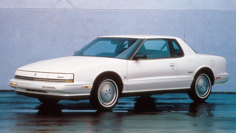
But the history of navigation in cars actually stretches back decades before that, and the earliest attempts didn’t even rely on computers or LCD screens for the service. About 10 years after Honda’s Electro Gyrocator introduced Japanese drivers to the feature, GM tested a system we’d recognize as a more traditional navigation system in a partnership with Avis, in modified Oldsmobile Toronados offered for rental in the Orlando area. It was called TravTek, and it’s both super impressive and kind of hilarious.
Read more
TravTek emerged on the scene in 1992, and was built into 100 Toronados — 75 of them reserved for Avis’ fleet and the remainder loaned to “high-mileage local drivers,” according to IEEE Explore. The Federal Highway Administration and Florida Department of Transportation were in on this too, so you’d figure they’d want all the data they could get their hands on.
An onboard computer installed in the trunk enabled navigation, and it was routed to a 6-inch touchscreen with synthesized speech to call out turns and directions. It’s very Microsoft Sam, very WarGames, and yet it’s actually pretty adept at telling you everything you need to know, so long as you can understand its stilted, garbled delivery. This short news segment from a 1992 episode of Motoring TV demoes the process of setting a destination:
Credit: Motoring TV via YouTube
It’s not terribly unlike modern systems, except TravTek didn’t allow you to type in addresses. Instead, you had to select from a list of preselected streets, all in a 1,200 square-mile zone in Central Florida. Still, within that chunk of the Sunshine State, TravTek was imbued with a wealth of knowledge beyond maps alone. As OutrightOlds explains:
Data from traffic signals, highway surveillance cameras along the roads, emergency vehicles, construction reports and other TravTek cars were fed into the computer continuously from a AAA traffic management center in Orlando. Traffic information and rerouting, did not become widely available on modern vehicles until the development of XM Nav Traffic, an RDS-based terrestrial system, in 2004.
Vehicle location was pinpointed using a built-in magnetic compass, sensors in the car’s wheels that measured distance traveled and a satellite that feed its signal to a large antenna on the rear deck lid.
Interestingly, TravTek couldn’t rely on GPS alone to pinpoint the vehicle’s location, so the additional wheel sensors and compass must have been necessary to fill in any gaps in data. By the way, “large” is an understated way of describing that decklid antenna. Here’s a good view of it jutting out prominently above the passenger-side taillight:
