Winter storm pummels Midwest US with heavy snow and blizzard conditions
A powerful winter storm is expected to bring heavy snow and blizzard conditions in the Plains and Upper Midwest on Monday and Tuesday, according to the National Weather Service.
Blizzard warnings were extended from northern Colorado and Kansas into parts of Minnesota, Nebraska and South Dakota on Monday, with between two and 10 inches of snow expected to fall in these areas.
“Snow may accumulate at one to two inches per hour in heavier bands,” the weather service said.
The storm could also bring widespread power outages and treacherous road conditions in affected areas, the NWS said, as it moves through the Midwest and Great Lakes into Tuesday.
The agency added that travel could be “near impossible at times” with winds of over 50 miles per hour expected to hit, causing widespread power outages as heavy, wet snow and falling trees hit power lines.
Localised flash flooding may also occur across the South, including in Missouri, Arkansas, Mississippi and Alabama, where rainfall totals through Tuesday will range from one to three inches, and locally up to four inches.
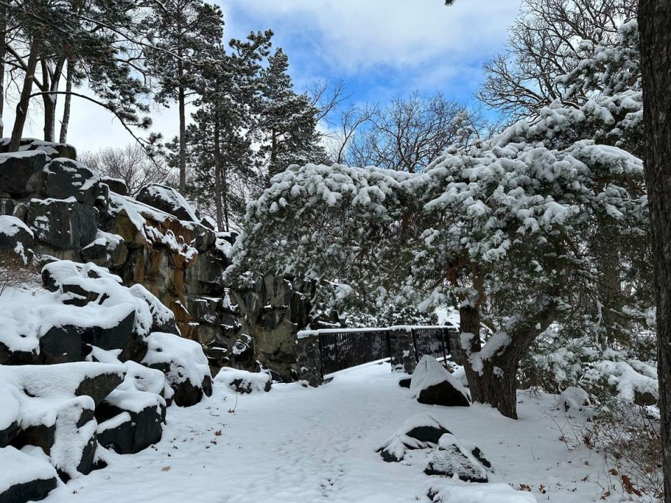
It comes after a storm dumped more than two feet of snow on areas including Maine, New Hampshire and Vermont last week.
As of late Sunday night, around 160,000 homes and businesses were still without power across the Northeast, according to Poweroutage.us.
The worst affected area was Maine, where as of Monday morning, more than 100,000 customers were still without power, according to Poweroutage.us.
Central Maine said many power lines were grounded across the state after the storm blew through, with the utility company responding to more than 700 emergency calls on Sunday for issues including blocked roads and downed lines.
The company added that although it had restored power to more than 50 per cent of customers impacted by the storm as of Sunday night, restoration efforts in severely impacted coastal areas could last through Wednesday.
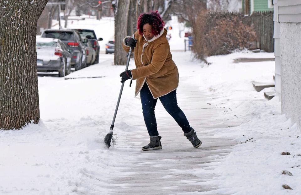
Snowy conditions also caused treacherous conditions on roads, with police across the Northeast reporting hundreds of traffic accidents as cars spun out and drivers grappled with icy roads.
Meanwhile, South Dakota State University announced its campus would be closed as a result of severe weather, and will remain shut through Monday night.
Heavy rainfall also affected parts of the US over the weekend.
In Philadelphia, a storm on Saturday dumped 3.06 inches of rain at a gauge, setting a new daily rainfall record and marking the wettest day recorded in March at the weather service’s official observing site.
South of Philadelphia, in Chester, Pennsylvania, efforts to rescue a six-year-old girl who slipped into a rain-swollen creek on Saturday turned into a recovery operation, authorities said on Sunday afternoon, adding that the Coast Guard was expected to continue to scan the waters of the nearby Delaware overnight.
Stormy conditions on the ground were also matched by a rare geomagnetic storm in space on Sunday night, with the Aurora Borealis visible in parts of the US.
A geomagnetic storm is a major disturbance to the Earth’s outer magnetic field most commonly caused by a strong surge of solar wind from the Sun known as a “coronal mass ejection”, according to the US Geological Survey.
The event meant the Northern Lights were visible in parts of the Pacific Northwest, Northern Plains, Great Lakes and interior Northeast on Sunday night.

