Weather Blog: Severe Weather Potential is Back Tonight
FAYETTEVILLE, Ark. (KNWA/KFTA) — Severe weather potential is back in the forecast late Saturday evening into early Sunday morning. All hazards are possible including large hail, damaging winds, tornadoes, and flash flooding. Significant severe weather is on the table, especially in the northern half of our coverage area.

Storms were forming along a dryline to the west. Below is a look at the surface map from around 7:00 p.m.

Storms should be on a weakening trend as they inch closer to the area tonight.

The best chance for severe weather in our area looks to be from midnight through around 4:00 a.m. tonight.


Some redevelopment is possible on Sunday afternoon and evening as the atmosphere destabilizes ahead of a cold front. Activity should be isolated, however any storm that does develop has the potential to be severe. Below is the risk for Sunday.

Stay weather-aware through this weekend and make sure to download our Weather Authority app as we keep you updated with all the latest!

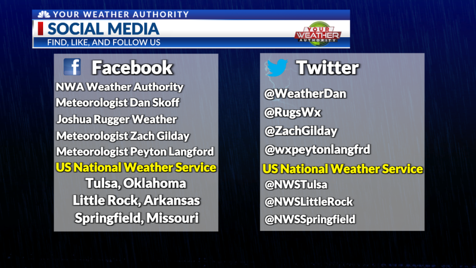
We’ll continue to keep you posted on the latest details and update this Weather Blog as more information becomes available. Follow us on our social media below for up-to-date information, and stay weather-aware!

Follow YOUR Weather Authority Team:
On Twitter
On Facebook
STAY INFORMED
Click Here to Download our Weather Authority app
To make sure you are staying up-to-date with the forecast, download the Your Weather Authority app to get updates anywhere at any time.
Copyright 2024 Nexstar Media, Inc. All rights reserved. This material may not be published, broadcast, rewritten, or redistributed.
For the latest news, weather, sports, and streaming video, head to KNWA FOX24.

