Weather Blog: Multi-day Severe Weather Event Possible
FAYETTEVILLE, Ark. (KNWA/KFTA) — UPDATED 10:15 A.M. THURSDAY Severe weather and flash flooding will be possible over the next several days in Northwest Arkansas and the River Valley, starting as early as Thursday afternoon and continuing through Sunday. Uncertainty remains in regards to the timing and severity of each system that moves through the area.
Why So Many Systems?

In order to explain our severe weather setup for this weekend, we first need to look at what’s going on in the atmosphere. High pressure will begin to build in over the eastern United States over the next day or so, and this feature will help guide multiple troughs of low pressure over the Great Plains and Upper Midwest region. This ridge will also push deep Gulf moisture northward, providing fuel for shower and storm development over a large part of the country.

Meanwhile, a sharp dryline will take shape across the Oklahoma and Texas Panhandle, and this feature will be the catalyst for initial shower and storm development once a forcing mechanism (in the form of the previously mentioned troughs) ejects northeast through the Plains. In addition, the orientation of the troughs will be negatively-tilted, which often leads to intense wind fields through each level of the atmosphere. This is a classic setup for severe weather over the midsection of the country, including Northwest Arkansas and the River Valley.
Timing Out The Threats
Now that we know the general setup for the severe weather threat, we can look a little deeper into the setup of each particular day.
Thursday

One or two strong thunderstorms will be possible starting Thursday afternoon, mainly in eastern portions of Oklahoma. These storms will be elevated in nature, as they will be displaced from the dryline and more significant wind shear in the Texas Panhandle. Regardless, small hailstones and gusty winds up to 50 MPH can’t be ruled out, especially if thunderstorms tap into a stationary front that will be draped over the area. The main threat with these storms will be locally heavy rainfall and the potential for isolated to scattered flash floods, especially if storms begin to train over the same area. There remains some uncertainty in terms of where exactly the heaviest rain axis will setup, but most models are in agreement that showers and storms in some form or fashion will be hanging around the area on Thursday.
Friday

Severe thunderstorms will be much more likely on Friday, as the trough ejects to the northeast and instability becomes more abundant in our area. As of 9 A.M. Thursday, the entire KNWA/FOX24 coverage area is under a Level 2 out of 5 Slight Risk of severe weather. An intense line of showers and storms will be pushing through the area Friday morning, and it appears that this line will pose the risk for significant damaging wind gusts (up to 70 MPH) and tornado potential within embedded supercells. Models have slowly been trending towards Friday AM being the most likely time frame for severe weather for our area, but there will still be the potential for a supercell or two to develop after this line of storms pushes out. These storms will have to break a “cap” (or lid on the atmosphere that prevents shower and storm development) that will be in place after lunchtime, but any storms that are able to tap into the environment between 2 P.M. – 10 P.M. will have the potential to produce all modes of severe weather (large hail, damaging winds and tornadoes).

Saturday & Sunday


Uncertainty begins to grow as we head into Saturday and Sunday, though the potential for significant severe weather will also be on the rise, especially as we head towards Saturday evening. An even stronger trough will take a similar track to the first one throughout the weekend, with plenty of instability and intense wind shear centered over a large swath from Texas to Wisconsin. The area of greatest concern currently resides in southern Kansas, Oklahoma and northern Texas, as all of these parameters will be squarely in place over these locations. All modes of severe weather, including very large hail, damaging winds and strong tornadoes will be possible with any thunderstorm that develops during the afternoon hours. However much like Friday, considerable uncertainty remains on the extent and impact of morning convection over the warm sector, which could hinder the development of more robust convection during the afternoon hours in the enhanced risk off to our west. If this occurs, the onset of thunderstorms may be delayed over our area, which may limit the overall severe weather threat. Additional showers and storms are expected to develop over Northwest Arkansas and the River Valley on Sunday, but models differ on how robust and widespread this development will be as the front finally pushes through the area Sunday night. Stay tuned to the latest details on both days as more high-resolution data becomes available!

Preparing For Severe Weather

While there is clearly uncertainty in terms of our severe weather threat over the next few days, it is still important to be prepared in case significant severe weather strikes! By scanning our QR Code above, you can download our FREE Weather Authority App that gives you access to the latest radar data, hour-by-hour forecast and constant video updates that are chock full of important information! We have also recently launched our WeatherCall NextGen service, which is a GAME-CHANGER in terms of giving you warnings when severe weather strikes! More information on this service can be found in the graphic below, but in-a-nutshell WeatherCall NextGen will allow you to receive crucial, up-to-the-second warnings for severe weather ONLY if you are located within the warning polygon. You won’t have to deal with the frustration of receiving constant warnings from severe weather that is not impacting your exact location; WeatherCall NextGen will contact you over phone calls, texts and emails to make sure you’re safe ONLY IF severe weather is striking your area!
Click HERE to learn more and sign up for WeatherCall NexGen today!

We’ll continue to keep you posted on the latest details and update this Weather Blog as more information becomes available. Follow us on our social media below for up-to-date information, and stay weather aware as we get closer to the weekend!
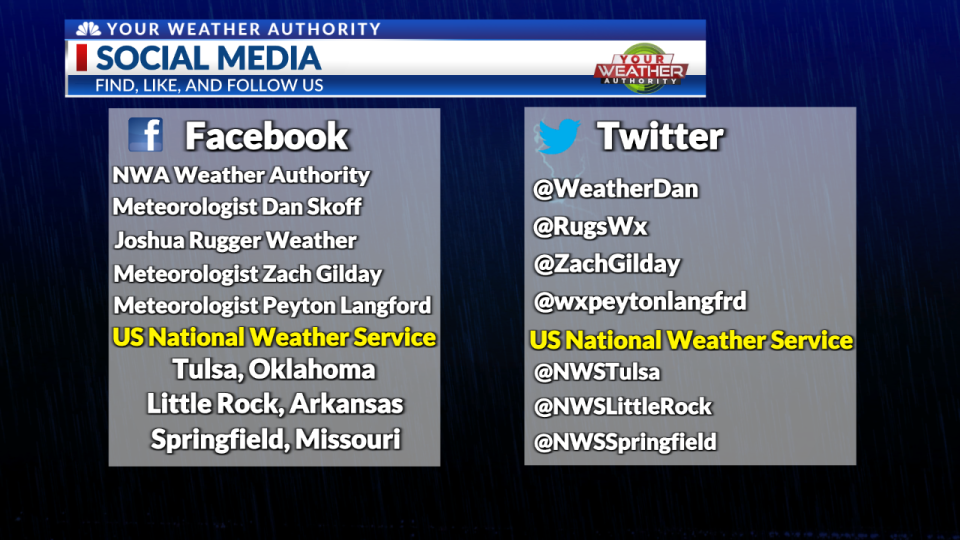
Follow YOUR Weather Authority Team:
On Twitter
On Facebook
STAY INFORMED
Click Here to Download our Weather Authority app
To make sure you are staying up-to-date with the forecast, download the Your Weather Authority app to get updates anywhere at any time.
For the latest news, weather, sports, and streaming video, head to KNWA FOX24.

