UPDATE: Weather alert for strong thunderstorms in North Texas until 3:30 a.m. Sunday
The NWS Fort Worth TX issued an updated weather alert at 2:57 a.m. on Sunday, warning residents of strong thunderstorms until 3:30 a.m. The alert is for Denton, Collin, Tarrant and Dallas counties.
Residents may experience wind gusts of up to 50 mph.
"At 2:56 a.m., Doppler radar tracked strong thunderstorms along a line extending from near Celina to Hickory Creek to Haltom City. Movement was east at 35 mph," according to the NWS. "Gusty winds could knock down tree limbs and blow around unsecured objects."
Expect strong thunderstorms in the following locations:
• Fort Worth, Frisco, Lewisville, Flower Mound, Euless, Bedford, Grapevine, Haltom City, Keller, and Coppell around 3 a.m.
• Dallas, Irving, Carrollton, and Hebron around 3:05 a.m.
• Plano, Grand Prairie, and McKinney around 3:10 a.m.
• Farmers Branch, Anna, and Van Alstyne around 3:15 a.m.
• Allen, Addison, and Melissa around 3:20 a.m.
Other impacted locations include Westminster, St. Paul, Oak Point, Providence Village, Westlake, Altoga, Weston, Lewisville Lake, White Rock Lake and Lincoln Park. This includes the following highways: Interstate 35 near mile marker 468. Interstate 35W between mile markers 56 and 85. Interstate 35E between mile markers 432 and 466.
The NWS comments, "These storms may intensify, so be certain to monitor local radio stations and available television stations for additional information and possible warnings from the National Weather Service."
This alert is in effect until 3:30 a.m.
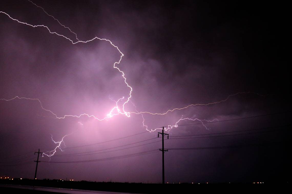
How to react when facing a lightning hazard?
Lightning hits the United States approximately 25 million times annually. The majority of these strikes happen during the summer, causing around 20 fatalities each year, according to the NWS. The likelihood of lightning increases as a thunderstorm gets closer and reaches its highest point when the storm is directly overhead. This risk decreases as the storm moves away.
Here are suggestions for staying safe during a thunderstorm:
• To minimize risk of being struck by lightning, when going outside, have a plan to get to a safer place.
• If the sky turns ominous and thunder can be heard, find a secure place for shelter.
• Once inside, avoid contact with corded phones, electrical equipment, plumbing, and windows and doors.
• Wait for 30 minutes after the last lightning or thunder before going back out.
If finding indoor shelter is not an option:
• Avoid open fields, hill peaks, or ridge tops.
• Stay away from tall, isolated trees or other tall objects. If you are in a forest, stay near a lower stand of trees.
• If you are in a group, disperse to prevent the current from passing between group members.
• If you are camping in an open space, choose a valley, ravine, or low area for your campsite. Remember, tents do not shield you from lightning.
• Do not approach water, wet objects, or metal items. Although water and metal do not attract lightning, they conduct electricity effectively.
Rainy weather driving tips
• Turn on your headlights — Even when it's light outside, using headlights can improve visibility and alert other drivers to your presence.
• On the road — Drive in the middle lanes and stay on high ground. Rainwater tends to stockpile on the edges of roads.
• Steer clear of puddles — Driving into puddles or low areas of rainwater can cause vehicles to hydroplane or skid out of control.
• Don't tail large vehicles closely — Trucks or buses can kick up a water spray that obstructs visibility.
• Avoid flooded areas — When encountering a flooded road, do a U-turn and head back. The strong currents from flash floods can pull drivers off roadways. Driving through deep water can also negatively affect a vehicle's mechanical and electrical systems.
What is hydroplaning?
Hydroplaning occurs when a vehicle begins to slide uncontrollably on wet roads.
This happens when water in front of the tire builds up faster than the vehicle’s weight can push water out of the way. The water pressure then causes the vehicle to rise and slide on a thin layer of water between the tires and the road, making the driver lose control. Hydroplaning is primarily caused by three factors:
1. Vehicle speed — When a vehicle’s speed increases, the tire-traction grip and ability to control the vehicle decreases. Drive at a reduced speed during wet weather.
2. Water depth — The deeper the water, the sooner a vehicle loses traction on the road. It doesn’t matter how deep the water is, even a thin layer can lead to hydroplaning.
3. Tire tread depth — Checking your tire tread before hitting the road is important, as low or no tread can lead to sliding.
In the event of your vehicle hydroplaning, here’s what to know:
• Ease off the accelerator — Step off the gas to slow down the vehicle until the tires find traction.
• Turn into the skid — Turning into the skid can help the vehicle’s tires realign to regain control.
• Make sure the tires reconnect with the road — During the skid, wait until the tires reconnect with the road and then gently straighten the wheels to regain control.
• Brake gently as needed — Brake normally if the vehicle has anti-lock brakes and pump brakes gently if in an older vehicle.
Source: The National Weather Service

