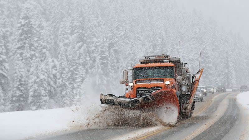
Warning, advisory issued as rain, snow forecast to impact Utah throughout Easter weekend

The first round of a storm series impacting Utah was quite productive Thursday, delivering a foot of snow in Big Cottonwood Canyon and over a half-inch of precipitation in places like Cornish, in Cache County.
"It packed a little punch," said KSL meteorologist Matt Johnson.
And there's more on the way this Easter weekend.
The National Weather Service issued a winter storm warning for the southern mountains as well as a winter weather advisory for the Wasatch and West Uinta mountains ahead of the second wave, which may deliver at least another foot of snow in some areas by the end of the weekend.
The strange storm pattern has played out as forecast so far. A cold front that arrived in Utah has stalled out, hovering over central Utah, as well as parts of Nevada and Colorado. Johnson said it may produce some light showers across the Wasatch Front and mountains on Friday evening and Saturday morning, as it moves north to make way for another cold front coming in from the west.
However, the next big wave of rain and snow is expected to begin around Saturday afternoon and evening ahead of the cold front. The precipitation will continue into Sunday as the cold front sweeps through the state. Scattered showers are anticipated later in the day, as the core of the low-pressure system keeps precipitation flowing, he said.
"Saturday and Sunday, both, we have pretty good rain chances," he said. "I wouldn't cancel any Easter plans you have, (but) keep track of the weather. ... Look at the radar, look at the hourly (forecast)."
Every part of the state is expected to receive at least some precipitation too, unlike the first wave, The winter storm warning for the southern mountains is in place from late Saturday morning through noon Sunday. It states that 8 to 16 inches of snow is possible along with wind gusts up to 55 mph. Brian Head and parts of the Pine Valley could end up with totals close to 20 inches.
The winter weather advisory states that 6 to 12 inches of snow are possible along the Wasatch and West Uinta mountains by Saturday evening. That's when the advisory expires, but the weather service could issue a new or amended alert for those areas. The agency released a model estimating some areas could receive upwards of 18 to 24 inches, or more, between Friday evening and Sunday morning.
The model also notes parts of the central mountains could end up with close to 1 foot of snow by Sunday morning.
While valley communities are expected to end up with mostly rain this weekend, the National Weather Service notes it is possible some valleys could end up with a trace or even an inch or two of snow. It may depend on where the snow line ends up over the weekend.
For example, the agency writes there's a 22% chance Provo receives 2 inches of snow. Snow is more likely in higher-elevation communities like Park City, which is listed as having 6 inches of "expected snowfall," according to the weather service.
Johnson said the storm has the potential to deliver between 0.50 to inches of precipitation throughout the Wasatch Front and northern Utah, as well as parts of southwest and northeast Utah, by the end of Sunday. Even parts of southeast Utah could receive 0.10 inches or more.
Conditions will begin to clear out on Monday. High temperatures are expected to reach the 60s along the Wasatch Front and the 70s in and around St. George by midweek before another storm is forecast to arrive, Johnson added.
Full seven-day forecasts for areas across Utah can be found online at the KSL Weather Center.
All of the precipitation will continue to boost Utah's snowpack, which is already well above its seasonal median. The statewide average is now up to 17.7 inches of snow water equivalent statewide, 127% of the median for this point in the year and 111% of the annual median, according to Natural Resources Conservation Service data.
Utah’s snowpack tends to peak in early April before the snow collected in the mountains melts into streams, creeks and rivers that flow into Utah’s lakes and reservoirs. The state’s reservoirs are already up to 84% capacity before the main snowmelt season.

