Trains delayed after spectacular lightning storms cut power

Storms across southern parts of England and Wales are expected to continue throughout Thursday morning, interrupting travel and potentially bringing the threat of flood.
Warnings remain in place for the South West and Wales until 8am Thursday, the Met Office said, while a warning in south-east England was extended to 10am.
Commuters have reported facing delays as trains are held up on tracks while repairers work to repair electricity to some lines.
The Met Office advised the storms might cause some flooding, leading to “difficult driving conditions and some road closures”.
National Rail listed a disruption between Westbury and Castle Cary, saying some services could be cancelled or diverted until 9am.
“Lightning damaging the electricity supply between Westbury and Castle Cary means some lines are blocked,’’ an alert issued at 5.30am read. “As a result, trains may be cancelled, delayed or diverted.”
Minor delays were also reported on South Western and Great Western railways while London Transport was reporting “good service” for all lines despite patches of heavy rain.
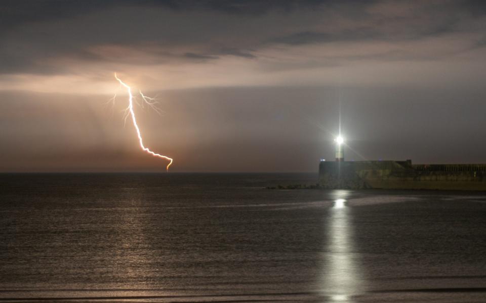
Social media users have been sharing videos and photos of spectacular lightning shows above their homes, with some residents reporting that the sky was so bright it lit up their homes as they were awoken by booming thunder.
The clouds will clear later in the morning before the temperature rises and delivers some of the warmest weather of the year, said Met Office meteorologist Marco Petagna.
This would come a day after Wednesday saw temperatures peak at their highest yet in 2024 at 22.1C.
Mr Petagna told the PA news agency: “After a night of storms, the rain will ease in the south of England for a while tomorrow. We could see the skies brightening up in a few places and it will be another warm day. Parts of the South East could even get to 24 degrees and beat today’s temperatures.
“But as the skies brighten and temperatures increase, this could spark a few more thundery showers in the afternoon, so it is likely to still be a bit unsettled and the forecast will be changeable over the next few days.”
While southern parts of the country experienced heavy rain, areas in the North should stay dry and warm.
Looking ahead to the Bank Holiday weekend, Mr Petagna said the forecast showed a “very mixed picture”.
Most areas of the country are likely to experience some rain but temperatures will remain fairly warm, in the mid to late teens. There are likely to be showers across the country on Monday.
Wednesday was the warmest day of the year so far, as temperatures reached a peak of 22.1C in Santon Downham in Suffolk. Meanwhile, the temperature in Scotland reached 21.9C in Aultbea in the north-west Highlands.
However, while some areas of the UK experienced their warmest temperatures of the year, there were wide variations across the country.
Temperatures were over 10C lower in some coastal areas, such as in Weybourne, a town 70 kilometres north of Santon Downham, which recorded a maximum temperature of 13.6C. Meanwhile, temperatures in Inverbervie, a town on the north-east coast of Scotland, peaked at 9.9C.

