Tornadoes, hail, strong winds possible in KC as outbreak of severe weather hits Midwest
Powerful storms are brewing, which could bring an outbreak of severe thunderstorms and the potential for strong tornadoes to parts of the Midwest, including the Kansas City area, on Tuesday.
The areas most likely to be impacted by the storms are Iowa, northern Missouri, northwestern Illinois, southwestern Wisconsin and southeastern Minnesota, according to the National Weather Service’s Storm Prediction Center.
The storms will be capable of damaging winds, some hurricane-force, several tornadoes and widespread hail, some baseball-sized.
The Kansas City area is under an enhanced risk of severe weather, while areas north of the metro, including St. Joseph, are under moderate risk.
There is some uncertainty in the forecast. A cold front is expected to move through the area, and it could be east of the Kansas City area by the time storms fire up, according to the weather service.
There’s a 40% chance that the metro area will remain relatively dry if the cold front takes longer to initiate storms, according to Alex Krull, a meteorologist with the National Weather Service in Kansas City.
“However, once storms go, the environment is primed for all hazard types,” Krull said in a morning weather briefing.
If tornadoes do spawn across the metro area, it would be for the second time this week. At least two tornadoes touched down in Johnson County during storms overnight Sunday.

Timing of the storms
A large cluster of strong thunderstorms raged across southwest Nebraska and northwest Kansas, spawning tornado warnings as the storms moved into northwest Missouri and western Iowa.
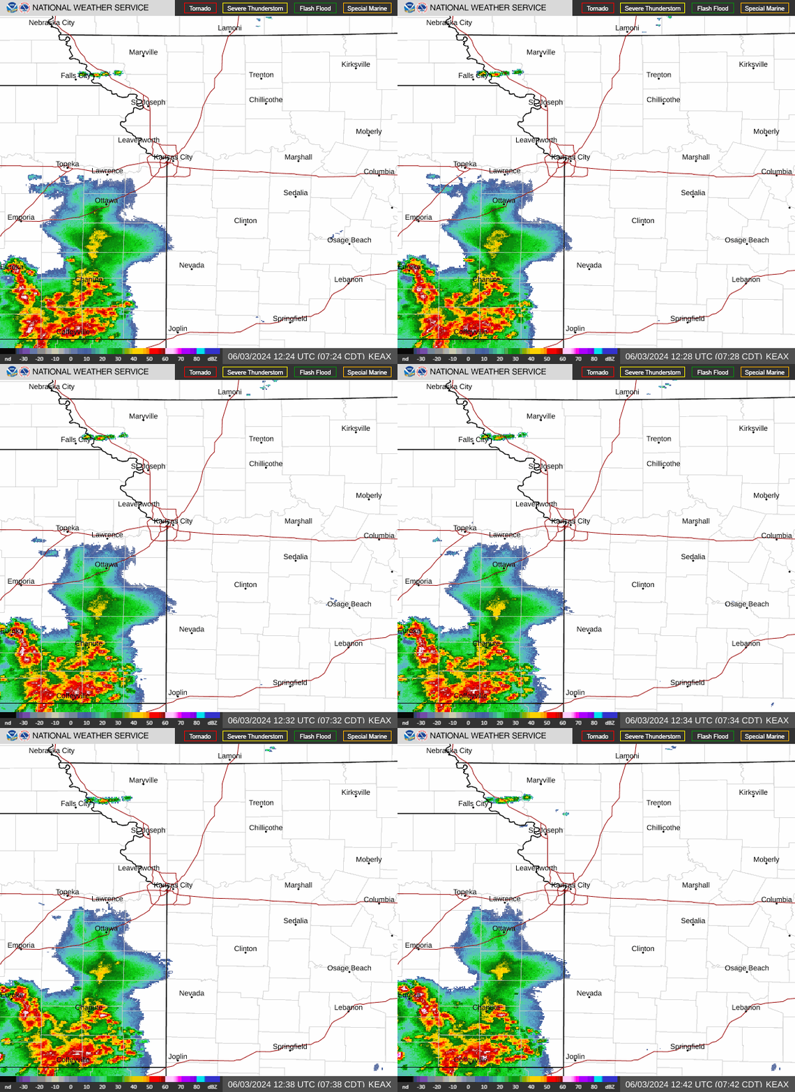
Scattered storms were possible Tuesday morning, primarily north of Interstate 70. The weather service said these storms had a limited severe weather threat, capable of producing only small hail and gusty winds where storms developed.
However, additional storms were expected to fire up, possibly as early as 2 p.m., in northwest Missouri to north-central Missouri before expanding southward. The storms are expected to exit the area by 9 or 10 p.m.
“Discrete storms,” ones that form independently without competing with a line of other storms for energy and space, will be capable of producing hail around two inches in diameter, winds above 70 mph and tornadoes, some of which might be strong, according to the weather service.
Once the storms develop into a line, hurricane-force winds, hail larger than an inch in diameter, and brief tornadoes are possible, the weather service said.
The storms are expected to move east of U.S. 63 highway in the Columbia, Missouri, area between 8 and 10 p.m.
Temperatures are expected to climb close to 90 degrees on Tuesday.
Weather watches and warnings
A live data feed from the National Weather Service containing official weather warnings, watches, and advisory statements. Tap warning areas for more details. Sources: NOAA, National Weather Service, NOAA GeoPlatform and Esri.
Stormy Memorial Day holiday weekend
The weather will be drier on Wednesday, with storms likely staying south of the region, according to the weather service. Temperatures will be in the mid- to upper 70s, which is average for this time of year in Kansas City.
Showers and thunderstorms return Thursday afternoon, and the stormy weather looks to continue through the Memorial Day holiday. There will be additional chances for strong to severe storms.
Folks with plans for the holiday weekend, seen by many as the unofficial start of summer, will need to stay aware of the weather.
