Tornado watch issued for Kansas City area as outbreak of severe weather hits Midwest
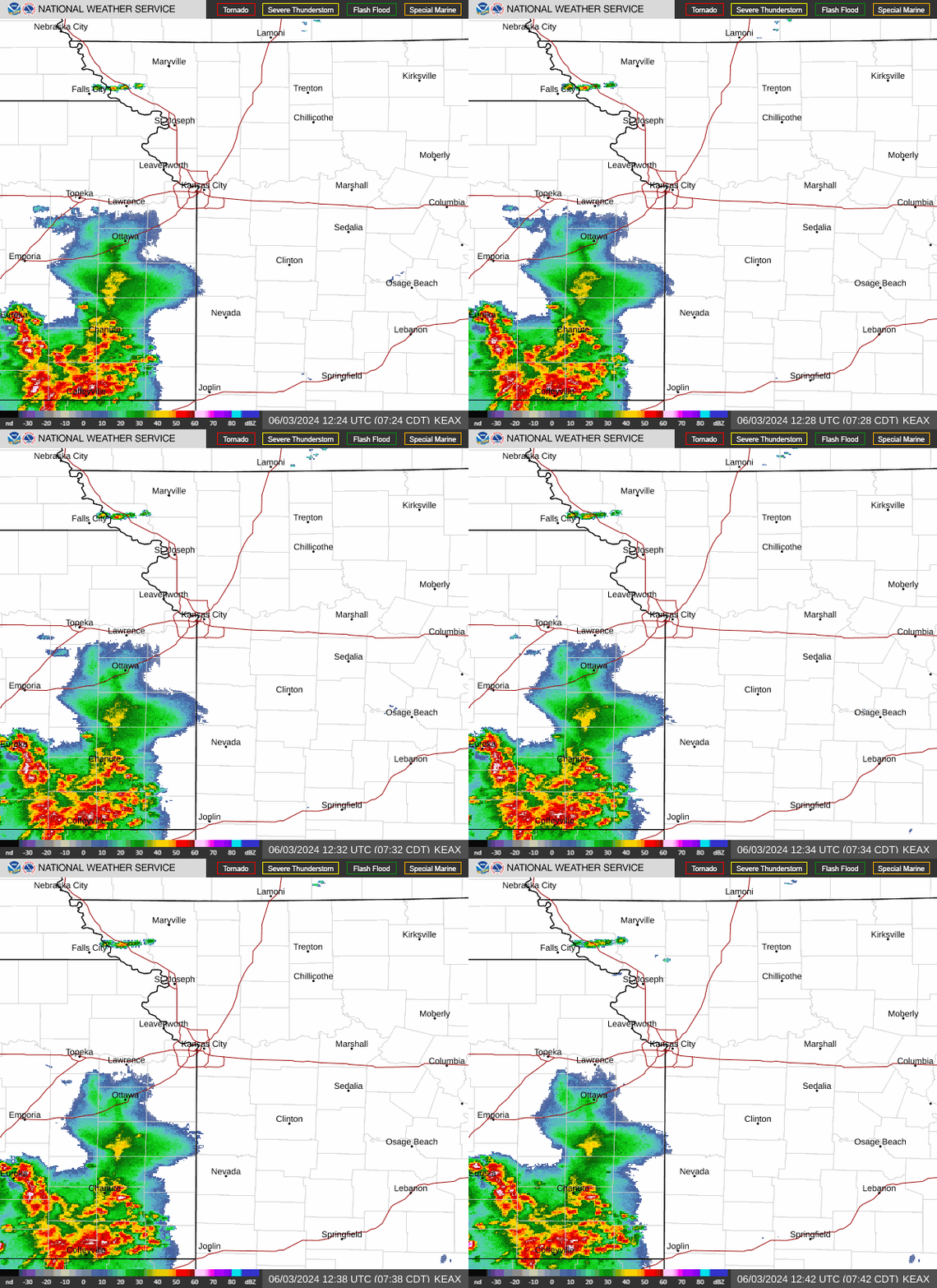
The Kansas City metro and surrounding counties are under a tornado watch as thunderstorms began firing up in an outbreak of severe weather affecting the Midwest.
The National Weather Service issued the tornado watch shortly before 3 p.m. for parts of the Kansas City forecast area, including seven counties in Kansas and 36 counties in Missouri. The counties in the metro area include Clay, Cass, Jackson, Johnson, Leavenworth, Platte and Wyandotte counties.
The tornado watch is in effect until 10 p.m. It includes Atchison, Belton, Boonville, Cameron, Clinton, Excelsior Springs, Fort Leavenworth, Gladstone, Glasgow, Harrisonville, Independence, Kansas City, Kansas City Kansas, Kearney, Lenexa, Liberty, Olathe, Overland Park, Pleasant Hill, Shawnee and St. Joseph.
A few tornadoes are likely, the weather service said. Scattered hail the size of softballs and hurricane-force winds are also possible, the weather service said.

Shortly after, the weather service issued a severe thunderstorm warning for parts of Leavenworth, Buchanan, Clinton, Clay, and Platte counties.
Shortly before 3 p.m., a fast-moving severe thunderstorm over Leavenworth was headed northeast at 70 mph. The storm could produce 60 mph winds and hail over one inch in diameter.
“Hail damage to vehicles is expected,” the weather service warned. “Expect wind damage to roofs, siding, and trees.”
The cities impacted by the storm include Leavenworth, Lansing, Smithville, Platte City, Plattsburg, Weston, Gower, Trimble, Edgerton, Dearborn and Fort Leavenworth. The storm is also expected to impact Kansas City International Airport.
Interstate 29 between mile markers 13 and 31 and Interstate 435 between mile markers 25 and 35 were in the path of the storms.
The warning is in effect until 3:30 p.m.
Weather watches and warnings
A live data feed from the National Weather Service containing official weather warnings, watches, and advisory statements. Tap warning areas for more details. Sources: NOAA, National Weather Service, NOAA GeoPlatform and Esri.
