Thursday Outlook: Partly cloudy, upper 80s temps around Charlotte

CHARLOTTE (QUEEN CITY NEWS) – Thursday will kick off an active pattern that finishes off the work week and lingers through Memorial Day.
Click here to see our latest Pinpoint Weather forecast! 🌤️🌦️
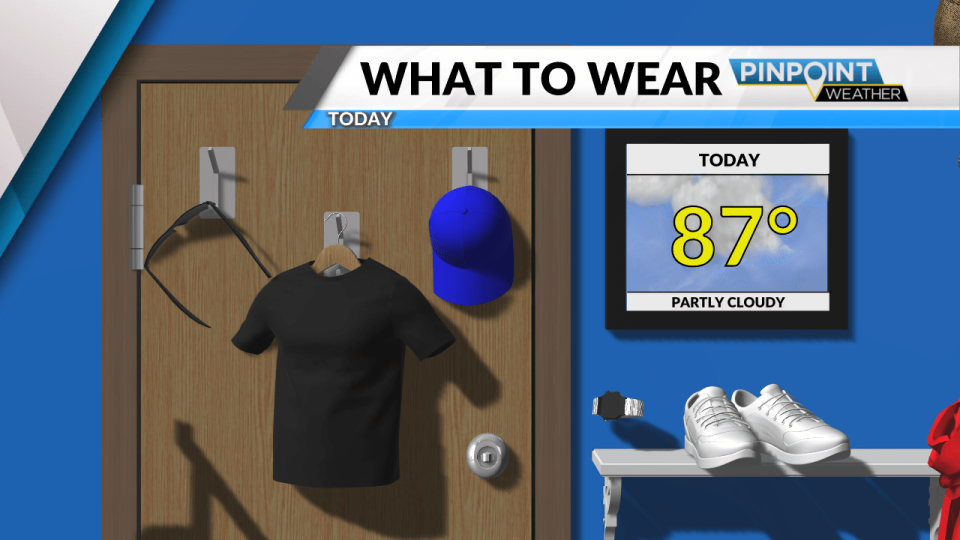
We’ll start off warmer with mid to upper 60s stretching from our mountains into uptown. Winds are light out of the southwest between 5 and 10 miles per hour as clouds roll in. Today will be mostly cloudy with highs peaking in the upper 80s throughout the day.
Spotty showers and storms will develop through the afternoon and evening while the Queen City sits under a Marginal Risk for severe weather. This is the lowest severe risk but still a risk nonetheless so be sure to stay weather-aware through the second half of the day. The main threats will be damaging winds and large hail that can accompany some of today’s storms.
Overnight lows will dip into the mid-60s as rain tapers off but more wet weather will roll in on Friday to finish off the work week. Highs will still peak above normal, hitting the mid-80s throughout the day.
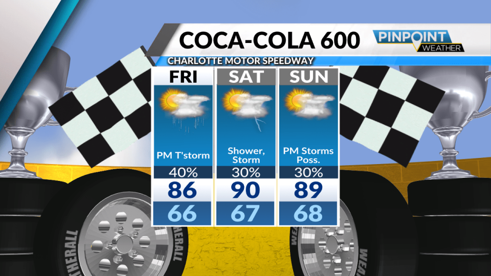
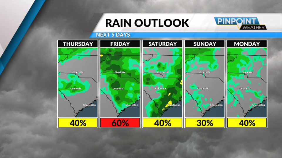
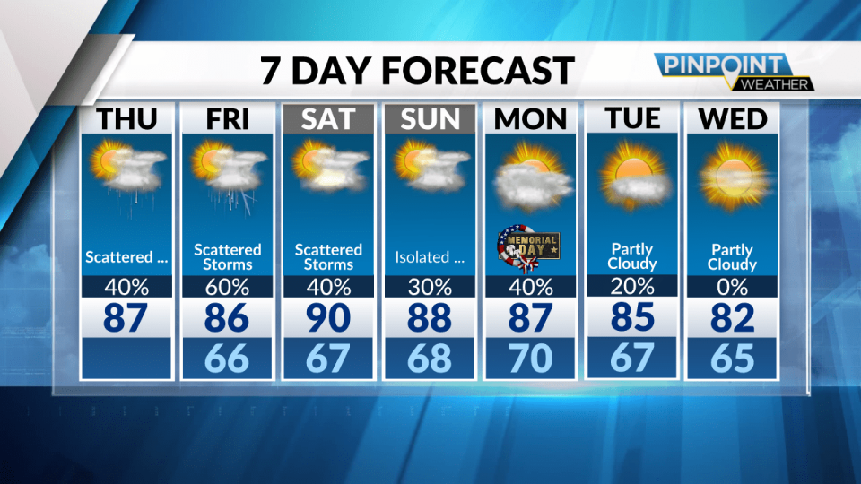
This weekend will continue to see spotty showers and storms as our active pattern continues through Memorial Day. Highs can touch 90 degrees on Saturday and upper 80s on Sunday before a cooling trend takes hold early next week.
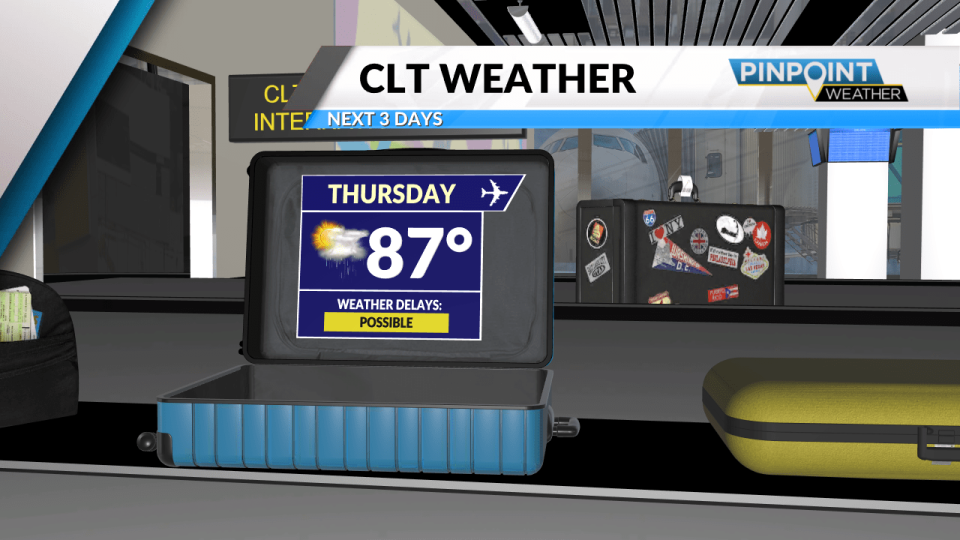
Memorial Day will be very warm and stormy as highs aim for the upper 80s. Storm chances will taper off early next week as temperatures fall into the low 80s by Wednesday of next week.
Today: Increasing Clouds with Afternoon & Evening Storms. High: 87.
Tonight: Partly Cloudy & Mild. Low: 66.
Copyright 2024 Nexstar Media, Inc. All rights reserved. This material may not be published, broadcast, rewritten, or redistributed.
For the latest news, weather, sports, and streaming video, head to Queen City News.

