Strong to severe thunderstorms threaten KC. Here’s where the tornado threat is greatest
Powerful thunderstorms are expected to pass through the Kansas City region Friday night, bringing the possibility of tornadoes, some that could be strong, to the area, according to a meteorologist with the National Weather Service.
Not everyone will see severe weather as the storms pass, but people should be prepared just in case.
“The real big takeaway for this afternoon and this evening is if you get a storm, more than likely it’s going to be severe,” said Jonathan Kurtz, a meteorologist with the National Weather Service in Kansas City, during an afternoon weather briefing. “You might be dry the entire night. But if you actually get a storm, you got to take notice.”
Kansas City was included in a tornado watch that was issued for parts of Iowa, Kansas and Missouri. The watch remains in effect until 9 p.m. A few tornadoes are likely, along with scattered hail up to tennis ball size and damaging winds up to 70 mph.
Tornadoes were already being reported in parts of Nebraska.
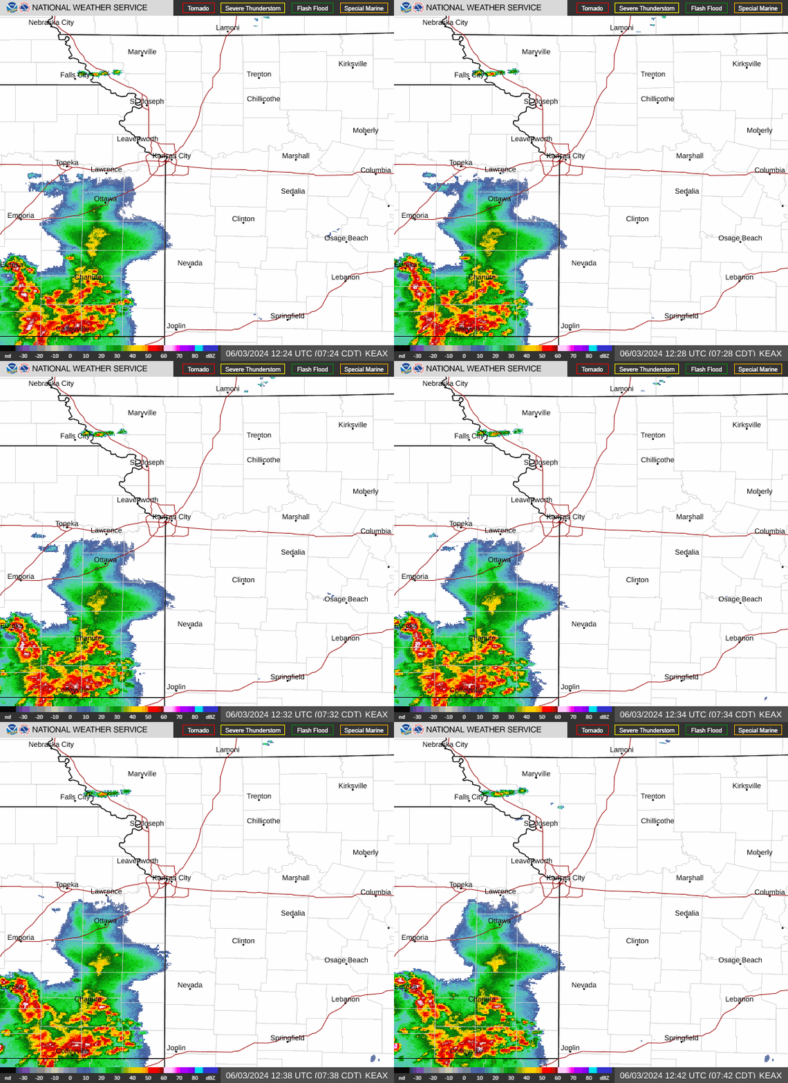
Additional thunderstorms developed Friday afternoon farther to the south, including some thunderstorms in southeast Kansas. There were indications that storms would also fill in across eastern Kansas, Kurtz said.
The Kansas City area remains under an enhanced risk of severe weather, although the greatest area of concern is along Interstate 29 north of the metropolitan area in northwest Missouri.

Severe storms return weekend
An additional round of severe weather is expected again from 6 p.m. Saturday to 7 a.m. Sunday morning. The Kansas City area will be under an enhanced risk of severe weather.
Tornadoes, very large hail, damaging winds and flash flooding will be the primary threats.
A line of storms is expected to move into the region out of southeast Kansas.
“I think for the most part when it comes to the tornado threat tomorrow night, Saturday night, it’s going to be spin-ups along the line,” he said, adding that damaging wind gusts from that line storms will likely be the biggest concerns.
There is a slight risk of severe weather on Sunday, but it will depend on the storm activity from Saturday night. Any storms will occur between 3 and 10 p.m. Large hail and damage winds will be the main hazards.
Heavy rains will also be one of the bigger concerns from the weekend storms. Several inches of rain have already fallen across parts of the area.
Most of the Kansas City metro area received well over an inch of rain from storms overnight Thursday, and parts of the Northland received close to 2.5 inches.
The weekend storms could bring another three to four inches of rain, with some areas seeing five to six inches. The bulk of the rain is expected Saturday night.
“We’ve already had a few of the smaller rivers that are already forecast to go near flood or to minor flooding,” Kurtz said.
A flood watch is in effect for the Kansas City area from Saturday afternoon through Sunday afternoon.
“Excessive runoff may result in flooding of rivers, creeks, streams, and other low-lying and flood-prone locations,” the weather service said in the watch. “Area creeks and streams are running high and could flood with more heavy rain.”
Weather watches and warnings
A live data feed from the National Weather Service containing official weather warnings, watches, and advisory statements. Tap warning areas for more details. Sources: NOAA, National Weather Service, NOAA GeoPlatform and Esri.
