Storm reports: Tornadoes touch down in Kansas Friday

WICHITA, Kan. (KSNW) – Our KSN Storm Track 3 Weather team tracked the storms across the state Friday.
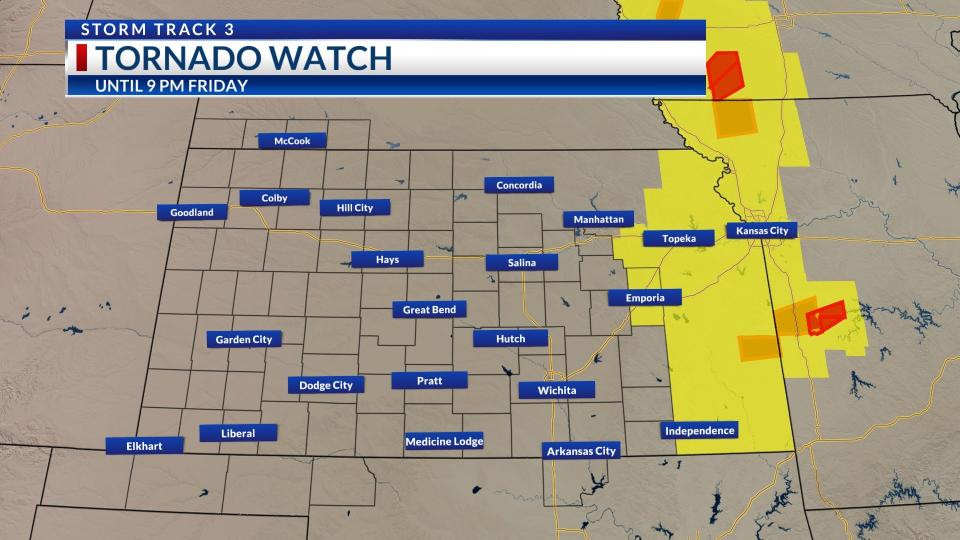
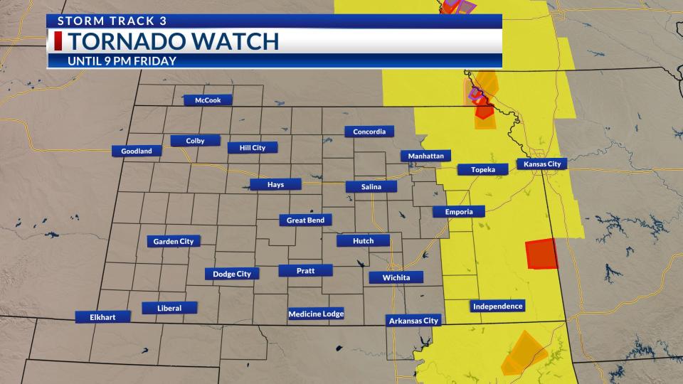
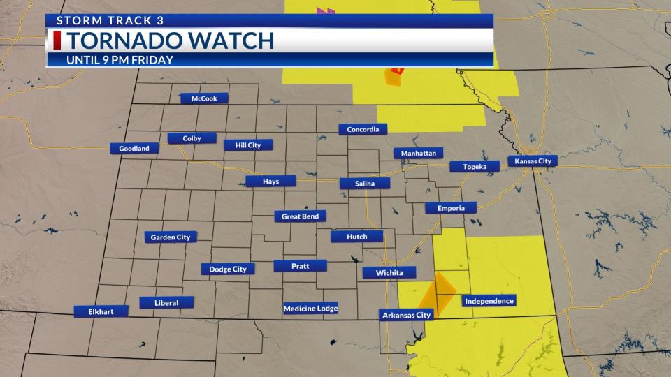
Eastern Kansas was under a tornado watch from about 2 p.m. until 9 p.m. Friday:
Tornado watch progression – 6:32 p.m. Tornado watch progression – 5:39 p.m. Tornado watch progression – 2:19 p.m.

A tornado did touch down right outside of KSN’s viewing area Friday afternoon near Fredonia in Wilson County:
Have a weather photo? Click here to upload it to our community gallery.
Have a weather video? Email it to connect3news@ksn.com.
Storm reports:
7:35 p.m.
NW Elk County – 2 N Howard – Quarter-sized hail
West of Howard – Funnel reported by KSN Storm Tracker Lisa Dimmit
2 NW Severy – Greenwood County – Quarter-sized hail
4 W Moline – Elk County – Ping-pong ball-sized hail
Fall River – Ping-pong ball-sized hail
S New Albany – Wilson County – Tornado
West of Fredonia – Tornado reported by KSN Storm Tracker Lisa Dimmit
4 N of Coyville – Tornado
4 SSW Yates Center – Tornado
1 NNW Benedict – Wilson County – Funnel
Wilson County – Unconfirmed reports a house is demolished
Wilson County – Tree damage in Benedict
8 E Humboldt – Tornado
7:42 a.m.
4 S Bartley – Red Willow County (Nebraska) – 1.41 inches
Norton – Norton County – 2.25 inches
3:14 a.m.
4 SSW Bird City – Cheyenne County – Golf ball-size hail
1:31 a.m.
5 NW Leoti – Wichita County – Tennis ball-size hail
TRACKING SEVERE WEATHER
In the event of expected severe weather, KSN’s live stream replay will be shown without delay.
Severe Weather Preparedness: Interactive map shows tornado shelters in the U.S.
Interactive Radar (Control yourself)
CURRENT WEATHER WARNINGS AND WATCHES
FREE APPS
KSN STORM TRACKER 3 WEATHER APP
SOCIAL MEDIA
For the latest news, weather, sports, and streaming video, head to KSN-TV.

