Sarasota's Climate Adaptation Center predicts an extremely active 2024 hurricane season

The Climate Adaptation Center predicts an extremely active 2024 season, including 24 named storms and 12 hurricanes – with six of those considered major hurricanes rated Category 3 or higher.
The 2023 season included 21 named storms, seven hurricanes and three major hurricanes, making it the fourth most active season in history.
The average season consists of 14 named storms, seven hurricanes and three major hurricanes.
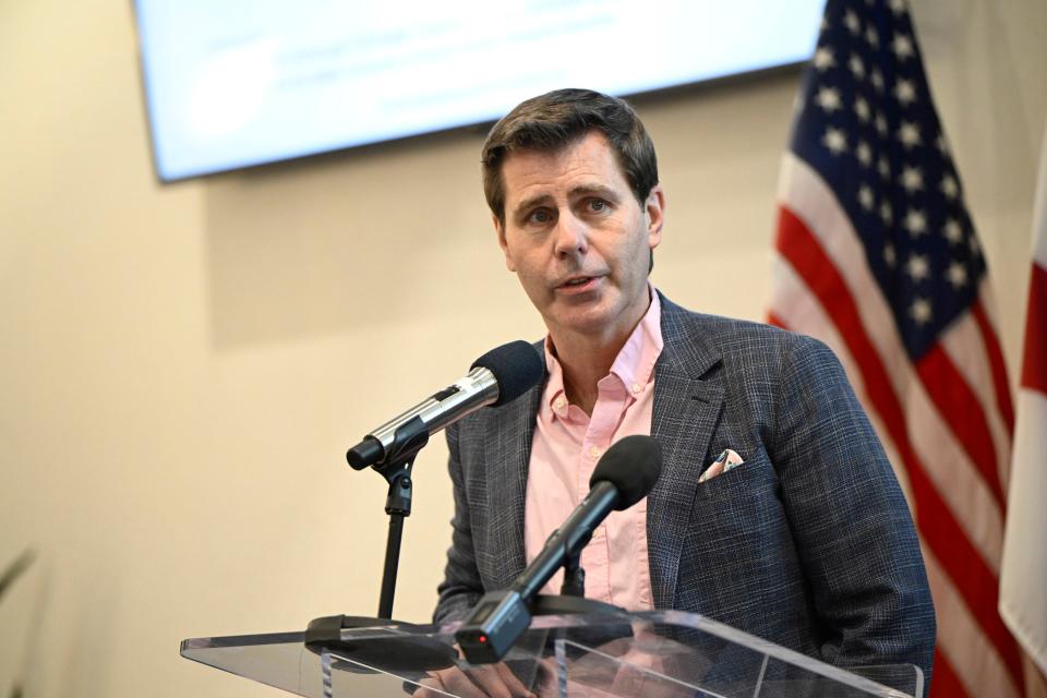
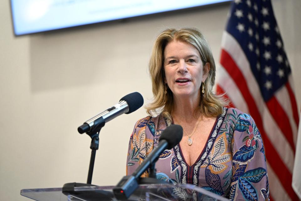
Bob Bunting, CEO and chairman of the Sarasota-based center revealed those predictions at the end of a four-hour 2024 Hurricane Season Forecast Day program hosted April 4 at the University of South Florida Sarasota-Manatee.
This roughly coincides with the forecast of 23 named storms, 11 hurricanes and five major hurricanes released by meteorologists at Colorado State University.
Why will the 2024 hurricane season be more active?
Bunting pointed to several factors affecting the active forecast, notably that the world is transitioning from an El Nino to a La Nina weather cycle, which results in warmer than normal water and increased mid-level air moisture in May – all of which is exacerbated by global warming.
Bunting pointed to a chart from March 27 that showed a swath of water in the Atlantic Ocean and Caribbean Sea at or above 26 degrees centigrade – or 78.8 degrees Fahrenheit – which is already warm enough to support major hurricane growth.
“A vast area of the Atlantic formation area is in that hot zone,” Bunting said. “These are the warmest temperatures I’ve ever seen in my entire career this early in the season.”
“We don’t have warm water, we have hot water,” he continued, then added that 25 models predict La Nina conditions occurring by June.
“Hurricane season this year and La Nina seem to be perfectly timed, which is not a happy thing,” said Bunting, who earlier noted that more storms occur in the Gulf of Mexico during a La Nina year.
Meanwhile, while NOAA climate models show a dry April, by May the air over the Caribbean should be moist enough for hurricanes too.
“This is where we usually get our early season storms – in the Caribbean ... with the much higher sea surface temperatures, even in May we could see hurricanes forming,”
The likelihood of storms traversing the Atlantic Ocean from Africa to the Gulf of Mexico should increase through September until the pattern switches back to October storms – with drier air returning in November.
Credible, simple explanations of climate science
Bunting, who closed out the program with his predictions, also spoke about lessons learned from Eastern Pacific hurricanes in 2023 – notably Hurricane Otis, which devastated Acapulco – and Hurricane Hilary, which brought the first-ever tropical storm warning to San Diego.
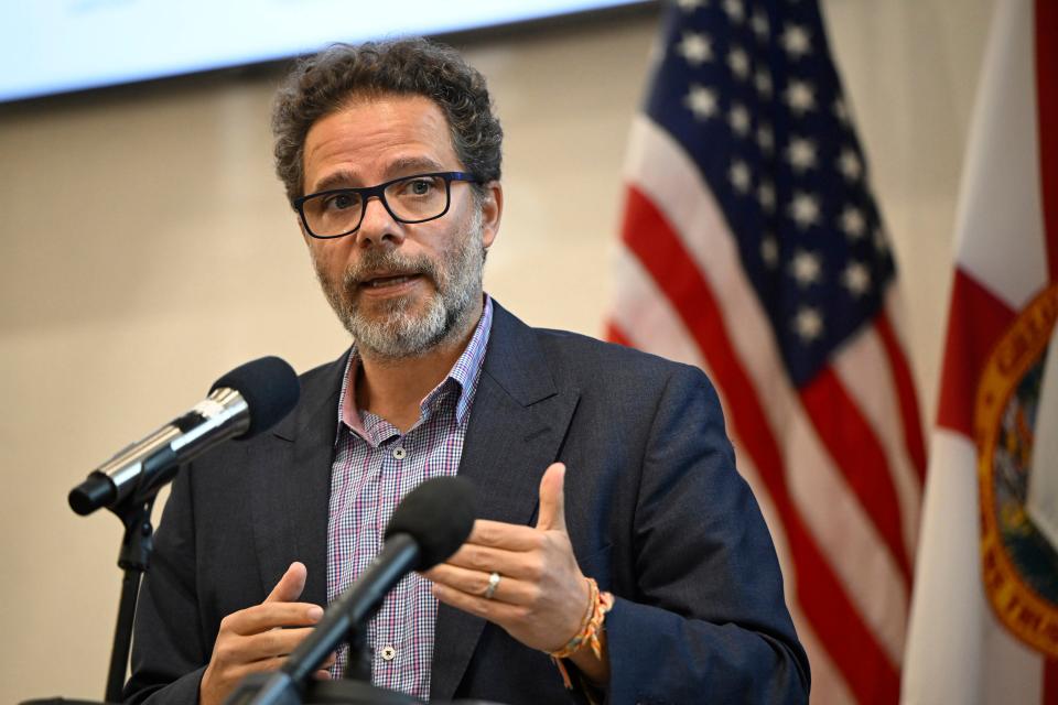
Veteran meteorologist Ric Kearbey, now a senior scientist at the Climate Adaptation Center, talked about lessons from hurricanes Irma, Ian and Idalia; Guillermo Franco, managing director at reinsurance company Guy Carpenter, discussed innovative services in the insurance industry; and Tom Lewis, president and chief operating officer of Tidal Basin Group and a CAC board member, spoke about the need for resilient infrastructure.
The purpose of the program mirrored that of the four-year-old Climate Adaptation Center, which, in the words of Director Elizabeth Moore, exists to bring “credible, simple scientific explanations of climate science to the public.”
Improved infrastructure is a key to surviving future storms
Since 1993, the greater Sarasota-Manatee area has experienced a sea level rise of between four and five inches, Bunting noted.
At a February 2023 conference, he forecasted that by 2050, the sea level in Sarasota will rise by 11 to 12 more inches.
Thursday, while using images of Hurricane Idalia-related street flooding in St. Armands and along Tamiami Trail north of the Gulfstream roundabout, Bunting stressed that “Escape routes from a hurricane are not optional – it’s a requirement.”
He noted that local governments must prioritize raising streets used as hurricane evacuation routes.
“One foot of raise will allow hours more of evacuation," Bunting said. "And in the sense that we have major hurricanes spinning up fast that could hit us with small warning, we need to have that level of investment and that level of concern so that we protect the public.”
In south Sarasota County, plans to widen and elevate River Road – a major hurricane evacuation route for much of south Sarasota County, including Englewood and a good portion of western Charlotte County – languished until the Atlanta Braves announced plans to relocate its spring training complex to North Port.
That, as well as increased development after the Great Recession, prompted Sarasota County and the state of Florida to forge an agreement that gave the state of Florida ownership of North River Road from Interstate 75 to Tamiami Trail.
In exchange, Sarasota County assumed ownership of a portion of State Road 758, which included roads connecting to Siesta Key and the corridors on the mainland that lead to I-75.
Sarasota County must still pay for widening South River Road, though it did allocate $25 million of the $201.5 million Resilient SRQ federal block grant to raise and widen that road.
Storms may intensify more rapidly
Kearbey pointed out that one reason “I” storms in the alphabet such as Irma, Ian and Idalia – as well as Ida in 2021 – were so potent is linked to the timing of hurricane season and how quickly named storms occur. He then added that because of global warming that timetable may be accelerating.
“The timing is changing a little bit, the hurricane season starting earlier – we’ll have to watch that over time,” Kearbey said.

He listed several lessons from the past few "I" storms, including a direct hit isn’t necessary for significant damage; storm surge is the number one enemy; know your evacuation zone; inland areas flood too; and hurricanes are intensifying more rapidly.
Bunting went on to note that there have been about 830 tropical storms in the Atlantic basin since 1970. From 1970 to 2002, only 3% had intensified from Category 1 to Category 5 in a day or so. Since 2002, that has increased to 8%.
Even with increased levels of wind shear under El Nino conditions, he noted that 2023 was the fourth most active season in history.
Wind speeds in Hurricane Otis increased from 55 mph to 165 mph in 24 hours, with some gusts exceeding 200 mph.
Otis caused $15 billion in damage and was not immediately predicted by forecast models, Bunting said.
“We may not get days to evacuate the keys – Lido Key, Longboat Key, Siesta Key – we may only get hours,” he said. “The rules have changed but we may not have realized how much they changed.”
For more information visit theclimateadaptationcenter.org.
This article originally appeared on Sarasota Herald-Tribune: Climate Adaptation Center predicts active 2024 hurricane season

