Road work ahead? Click on county’s new interactive map to learn about projects near you
Is construction on your street taking forever? Wonder how much it costs to widen that road on your commute? It just got easier to find the answers.
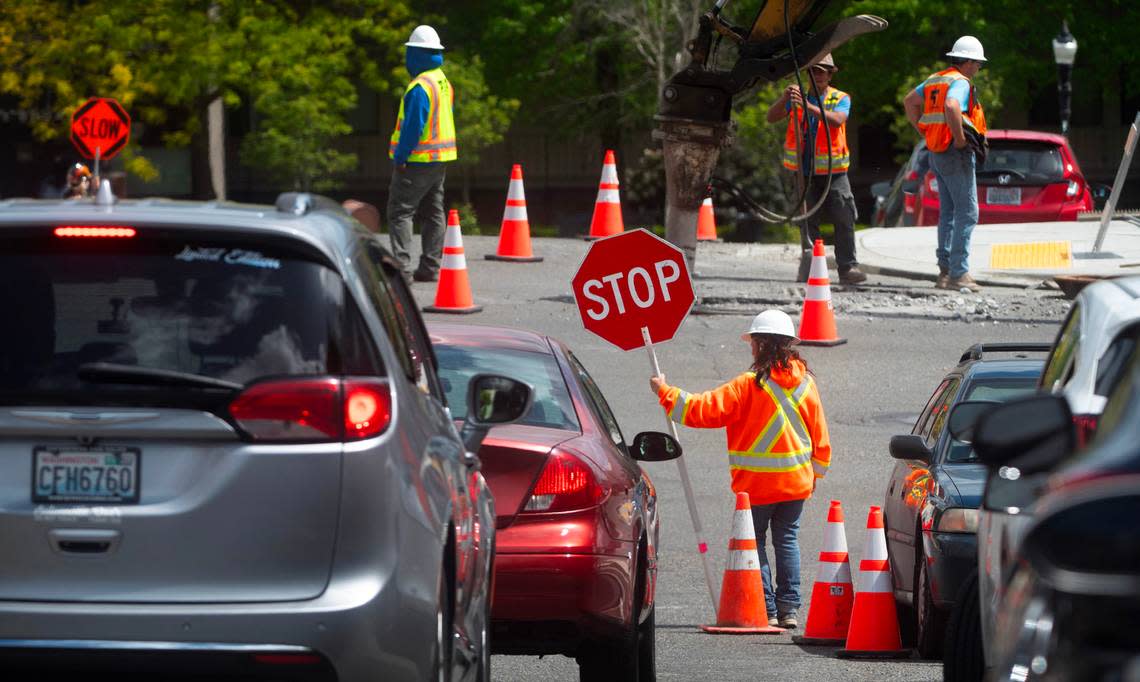
Last week Pierce County launched a new online interactive road closure and construction map that shows in real time which roads are closed and where commuters can find detours.
Users can zoom in and scroll around a map of Pierce County. Red dots and lines indicate closed roads, and orange lines show detour routes. You can click on specific projects to find information about when construction will start and end, track a project’s progress, learn how much the project will cost and also who to contact if you have more questions.
The Pierce County Road Construction Closure Map is in addition to the county’s Open Project interactive map that allows users to explore ongoing capital projects like road work, sewer repairs, traffic light and signaling installations, bike and pedestrian lane improvements and Americans with Disabilities Act accommodation projects, among others.
The Open Project dashboard also has information about capital project budgets, spending and scheduling in all neighborhoods and county districts. Of the 216 capital projects, 100% were reported on budget and 94% were on schedule, according to Pierce County.
Helping commuters in real time
All of the tools hopefully will help commuters find information more quickly in real time, said Erin Babbo, communications manager for Pierce County Planning and Public Works.
“Construction, road closures have impacts, and we can’t prevent them from happening, but … we can give [commuters] all the information we have at a current snapshot in time to make sure that they can make informed and educated decisions,” Babbo said. “This is just another tool in our arsenal.”
Pierce County has been wanting to launch tools like these for a while, and recent technology improvements have made that possible, said Bruce Wagner, the county’s Planning and Public Works deputy director. The Pierce County Road Construction Closure Map is still in its Beta phase, so he expects it to be improved by next year’s construction season.
Right now the tools include all Planning and Public Works projects. Babbo said the county eventually wants to add information about road closures as a result of private development, too. The county is working to help the county’s maps interact with Google Maps, she said.
Another interactive Road Alerts map alerts commuters to emergency road closures, often due to weather-related incidents. That map might merge into the Pierce County Road Construction Closure Map or Open Project, Wagner said.
“One-stop shop is always our goal,” he said.
Why not finish road work at night? And other questions answered
Wagner said the Planning and Public Works Department gets a lot of questions from drivers. Here are answers to some of the most common ones.
Why can’t Pierce County do road work at night if traffic is so much lighter like I’ve seen on the freeways?
“Where we can do that, we do. However, so many of our county roads are adjacent to residences, apartment buildings and even businesses that work at night,” Wagner said, noting there are some noise ordinances that prevent that type of work. “We do where we can, but that’s just not an option as much on a county road as much as a state freeway or something like that.”
What is the typical construction season in Pierce County?
Wagner said it’s usually May through October “because so much of the work depends on dry soils, low water tables and good paving temperatures. And then, of course, the fish window, which is driven by salmon behavior, which is typically from July through September.”
The project permit window is typically July through September, he said.
How have inflation costs and supply chain issues affected the department?
“In terms of inflation impacts and supply-stream impacts, we’re recovering from what we saw at the peak of the pandemic and post-pandemic,” Wagner said. “Inflation is still a factor for sure, but we’ve seen good return to normal on [the] supply stream and some more modest recoveries on the inflation side. So still a concern always, but less of a concern than it was a couple years ago.”
What is the county doing to reduce traffic fatalities?
Pierce County has a Vision Zero Action Plan that kicked off in February with the goal to reach zero fatalities and serious injury collisions among all modes of transportation in unincorporated Pierce County by 2035.
The county will be conducting data collection, crash analysis and reviewing policies, as well as engaging the community later this year. A final action plan will be drafted in January 2025. The plan will be promoting approaches to increase traffic safety via road design, enforcement measures, road user education and through specific project recommendations, according to the county’s website.
Since 2013, 49% of fatalities on unincorporated Pierce County roads involved impaired drivers, according to Pierce County. Speeding drivers were involved in over a third of the fatal car crashes in unincorporated Pierce County.
Community members can complete an online survey to share feedback until July 31.

