PHOTOS: See local roads underwater after flooding
DALTON, Ohio (WJW) — Several Wayne County roads were completely submerged after recent flooding, as seen in photos sent in by a FOX 8 viewer.
Chris Wendell captured drone photos Wednesday morning showing what appears at first glance to be a pond covering about an acre west of Sunny Slope Orchard along state Route 241, near Sugar Creek:
(Photo courtesy of Christopher Wendell) (Photo courtesy of Christopher Wendell) (Photo courtesy of Christopher Wendell) (Photo courtesy of Christopher Wendell) (Photo courtesy of Christopher Wendell) (Photo courtesy of Christopher Wendell) (Photo courtesy of Christopher Wendell) (Photo courtesy of Christopher Wendell)
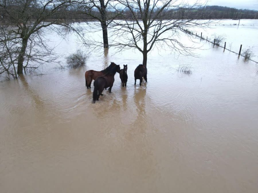
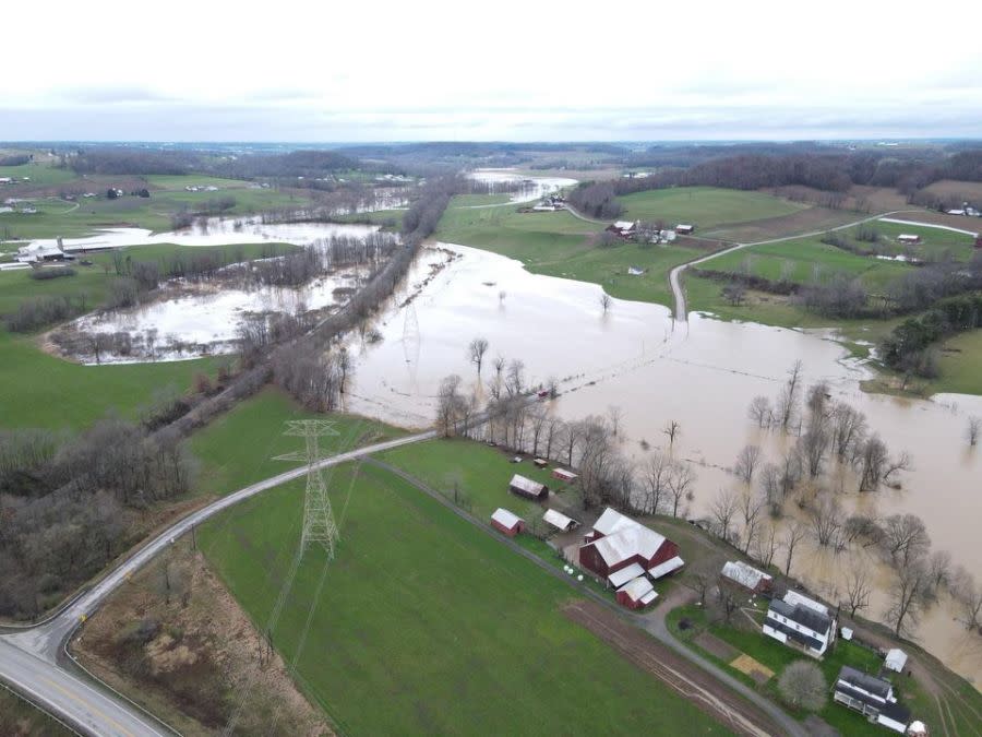
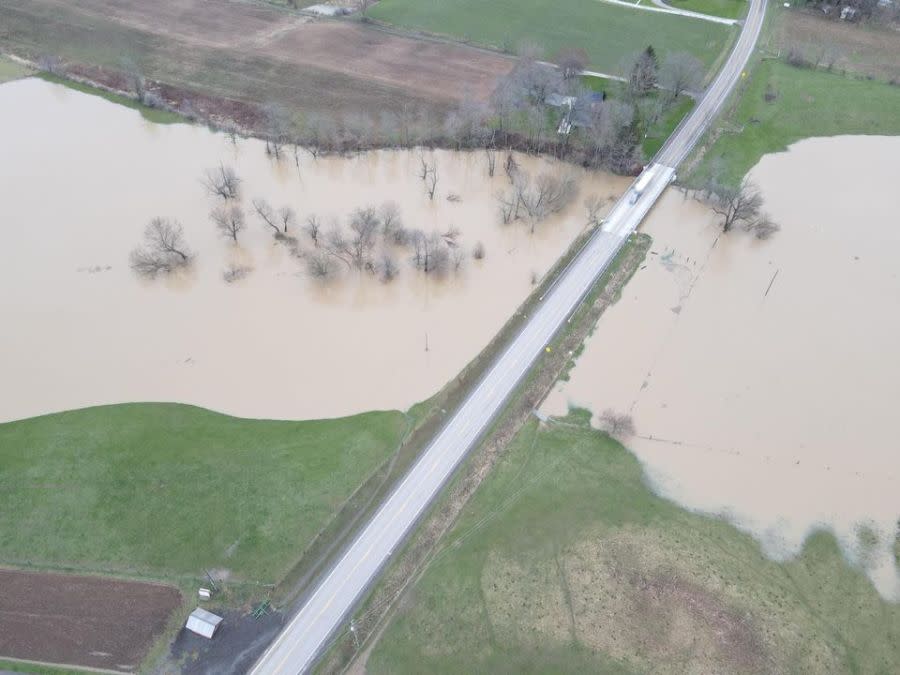
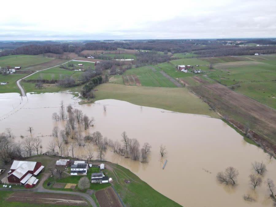
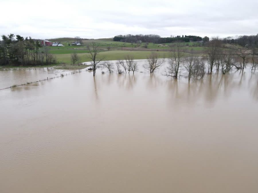
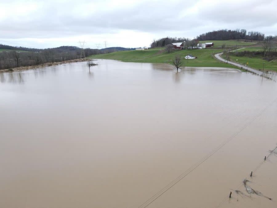
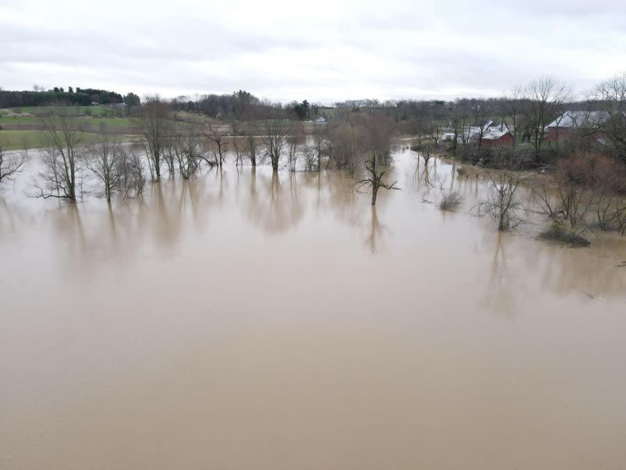
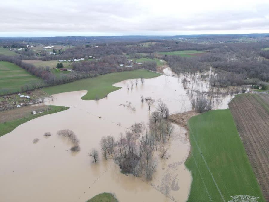
The water covered Deerfield Avenue and Elton and West Lebanon roads, Wendell said. He said the photos “highlight how dangerous” flooded roads can be.
Motorists shouldn’t attempt to drive on flooded roadways. Just 6 inches of water can cause drivers to lose control; most vehicles will float in 1 foot of water; and 2 feet of water can sweep away most vehicles.
FOX 8 News has reached out to the local fire department for more information.
Your map of the eclipse path of totality is wrong, experts say
Wayne County was one of several Northeast Ohio counties under a flood watch on Tuesday that continued into the night.
Several Northeast Ohio counties remained under flood warnings on Wednesday. Get the latest FOX 8 forecast here.
For the latest news, weather, sports, and streaming video, head to Fox 8 Cleveland WJW.
