Latest La Niña forecast not good for SC weather. Here’s why & when it’s expected to hit
South Carolina is moving closer to a possibly more active hurricane season this year, according to the latest forecast.
The National Weather Service’s Climate Prediction Center recently issued an updated forecast for La Niña, upping the chances of the weather pattern developing this summer, following the weakening of El Niño. The formation of a La Niña can contribute to the severity of Atlantic hurricane seasons, as well as lead to drier summers for South Carolina.
According to the latest forecast, there is 49% of a La Niña developing between June and August — and an even greater 69% chance of it developing between July and September.
“La Niña generally tends to follow strong El Niño events, which also provides added confidence in the model guidance favoring La Niña,” the prediction center states.
Hurricane season for South Carolina is set to start June 1 and last through November.
What is La Niña
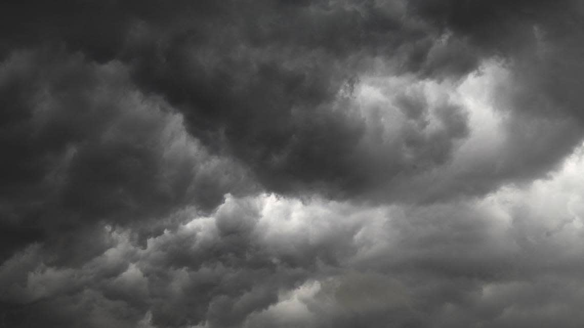
La Niña is the opposite of El Niño. Trade winds are even stronger than usual during La Niña events, pushing warm water toward Asia. Off the west coast of the U.S., upwelling increases, bringing cold, nutrient-rich water to the surface. These cold waters in the Pacific push the jet stream northward.
What does La Niña mean for hurricane season?
La Niña is known to enhance hurricane activity in the Atlantic basin, according to NOAA.
Much of the impact is due to La Niña’s effects on wind shear and atmospheric conditions over the Atlantic. There is a reduction in wind shear in the tropics when La Niña occurs, which can encourage hurricane development. Wind shear means a change in wind speed and direction with height in the atmosphere.
La Niña also favors greater hurricane activity by decreasing atmospheric stability and reducing the amount of sinking motion in the atmosphere.
Colorado State University researchers have already predicted the Atlantic hurricane season this year will produce 23 named storms, 11 of which will be hurricanes. Five are predicted to reach major hurricane strength (category 3-5), with sustained winds of 111 mph or greater. The team also predicts that hurricane activity this year will be about 170% of the average season from 1991-2020. In comparison, hurricane activity in 2023 was about 120% of the average season, the researchers say.
Last year the Atlantic hurricane season had 20 named storms, which ranks fourth for the most named storms in a season since 1950, according to the National Oceanic and Atmospheric Administration. An average season has 14 named storms, seven hurricanes and three major hurricanes, NOAA states.
Other La Niña weather impacts
La Niña’s effects tend to trigger drought conditions in the southern U.S. However, that is not always the case.
According to some researchers, 10 of 13 La Niña events examined showed below normal precipitation for parts of the Gulf of Mexico regions, however, the area including South Carolina showed no statistical difference. Still, researchers have attributed the 1998-2002 Southeast drought to La Niña.
La Niña can also contribute to warmer than usual temperatures in the Southeast during winter months.
What about El Niño?
El Niño is actually still kicking, though in a far weakened state. The Climate Prediction Center expects El Niño to shift in June into what’s called “ENSO-neutral” conditions. It’s a sort of in-between stage from El Niño to La Niña.

