June-like pattern, warm sunshine and scattered showers
Columbus and Central Ohio Weather
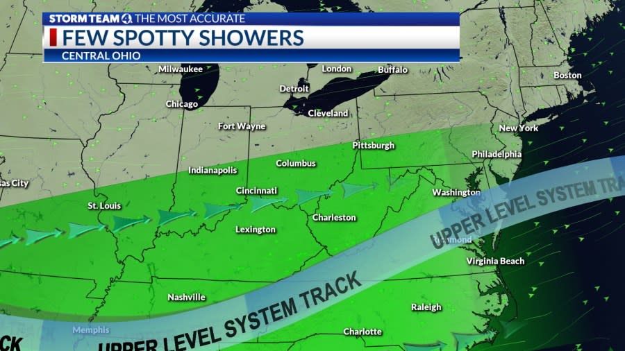
The cold front that triggered storms late Thursday has stalled in southern Ohio. A few areas of light rain drifted east across southern Ohio earlier in the day. Afternoon temperatures will reach the upper 70s, with some increase in cloud cover. Tonight will be dry and partly cloudy, with morning lows will be in the low 60s.
A disturbance will ride the boundary on Friday, triggering showers and storms toward evening, tapering Saturday morning. Temperatures will warm into the low 80s with partial sunshine.
Saturday will get off to a wet start early, but there will be some sunshine in the afternoon and drying, with temperatures in the low to mid-80s to start the holiday weekend.
The next likelihood for more widespread rain and storms will arrive later on Sunday ahead of low pressure in the middle of the country. Rain and thunderstorms will develop in the afternoon, followed by a break for a few hours.
More rain and storms will occur ahead of a cold front Sunday night into Memorial Day, tapering off in the afternoon. Cooler air will filter into.
Forecast
Thursday: Partly sunny. High 79
Tonight: Partly cloudy, isolated showers. Low 62
Friday: Mix clouds and sun, evening storm. High 83
Saturday: Early showers, some sun, warm. High 84 (64)
Sunday: Mostly cloudy, showers, storms p.m. High 81 (61)
Memorial Day: Partly sunny, few showers. High 77 (65)
Tuesday: Mostly cloudy, cooler, showers. High 73 (58)
Wednesday: Showers linger, mostly cloudy. High 74 (55)
Copyright 2024 Nexstar Media, Inc. All rights reserved. This material may not be published, broadcast, rewritten, or redistributed.
For the latest news, weather, sports, and streaming video, head to NBC4 WCMH-TV.

