Damaging winds, other severe weather possible in Evansville area tonight
Severe storms remain possible later this evening and overnight in the Tri-State, according to the National Weather Service.
Here's what forecasters are saying about the Monday night/early Tuesday potential for storms.
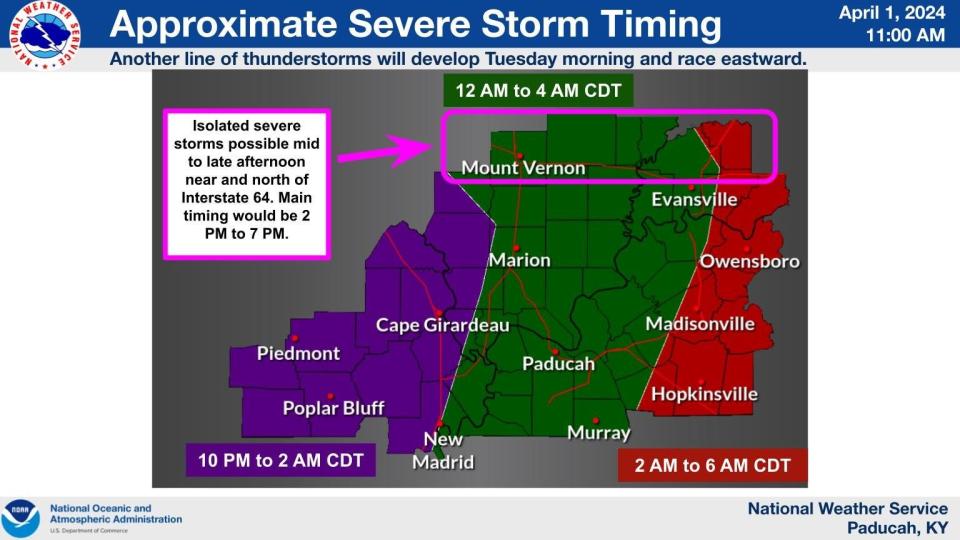
What time will the storms arrive in the Evansville/Henderson area?
While there are chances for rain and thunderstorms throughout most of the day Monday, the hourly forecast from the National Weather Service indicates that the odds for storms start ramping up at 7 p.m. in the Evansville area. The best chances arrive after midnight (90 percent or higher), lasting through much of Tuesday morning.
What kind of severe weather is possible?
The weather service, in a briefing issued early Monday, said that while tornadoes and large hail are possible, damaging winds are the primary threat. Thunderstorm winds are considered severe when they top 60 mph.
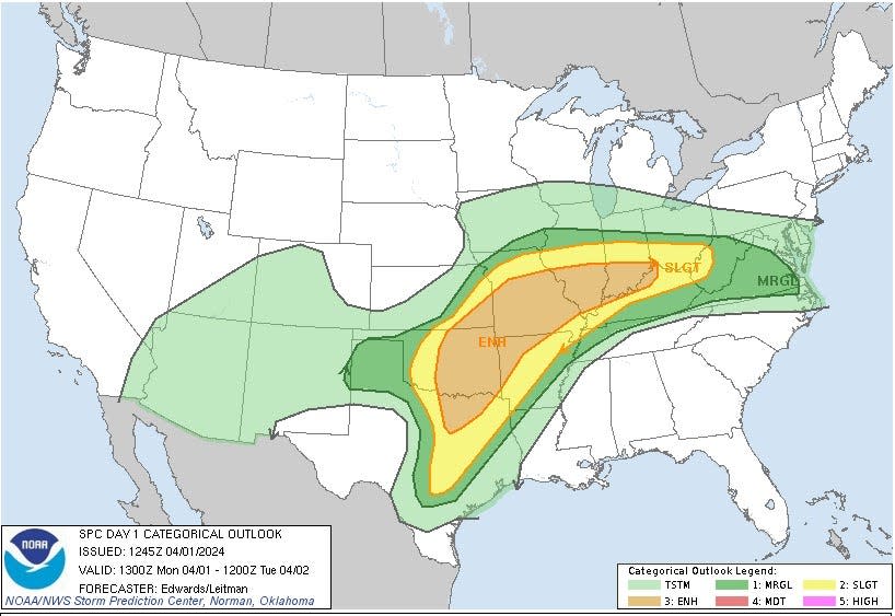
How likely is severe weather in the Evansville/Henderson area?
The National Weather Service has placed the Tri-State in an "enhanced risk" area for severe weather, which is the third on the five-level scale the agency uses, ranging from the lowest ("marginal") to the most likely ("high").
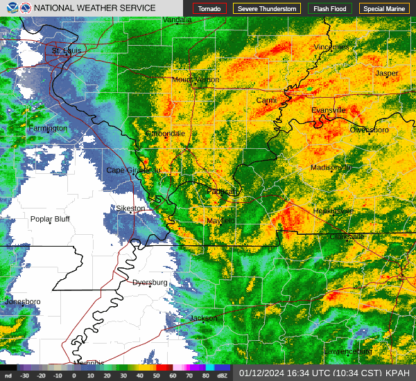
Where can I find an Evansville/Henderson area weather radar to monitor?
This article originally appeared on Evansville Courier & Press: Weather forecast for Evansville, Indiana and Henderson, Kentucky

