2024 Pacific typhoon season on track to rank among slowest starts for tropical cyclone activity
As the countdown to the Atlantic basin hurricane season is underway, there have been some unusual sights in the Pacific as the western part of the ocean has not produced a single cyclone, putting the year on pace to have one of its latest starts on record.
Unlike the Atlantic basin, where there are start and end dates for the season, the western Pacific can produce cyclones year-round, but the bulk of activity happens from May through October.
If there are no cyclone formations before May 12, the 2024 season will jump into the top five years of seeing the latest start for tropical cyclone activity.
The latest date on record for seeing the basin’s first cyclone is June 8, which happened in 1983. Despite the slow start, 23 cyclones formed, with ten that became typhoons.
2024 ATLANTIC HURRICANE SEASON GUIDE: HERE’S WHAT TO KNOW ABOUT THIS YEAR’S STORMS
The slow start for cyclone activity is not a surprise to forecasters, as the western Pacific is in a stretch of years that has produced below-average activity.
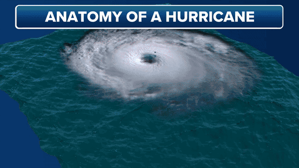
During an average season, 26 storms form, with 16 that strengthen into typhoons. However, to see a year that had above-average activity, you have to go back to 2019.
The lack of activity is despite the fact that El Niño has largely dominated weather patterns in 2023 and 2024.
During El Niño cycles of the El Niño-Southern Oscillation, or what is commonly referred to as the ENSO, water temperatures and atmospheric conditions are usually conducive for development across the basin.
In 2023, the first tropical cyclone formed in March, with the first typhoon in May. Despite the down year for activity, four super typhoons formed and caused extensive damage in Asia.
Typhoons are much like what hurricanes are called in the Atlantic basin and have sustained winds above 74 mph.
The declaration of a super typhoon varies by meteorological organization but is generally used to describe a cyclone with sustained winds of at least 150 mph.
NEW FORECAST CONE TO BE TESTED BY NATIONAL HURRICANE CENTER DURING 2024 SEASON
Due to several agencies having jurisdiction over the largest ocean on the planet, cyclone naming can also be a bit complicated.
If the system forms in the southwest part of the basin, the Philippine Atmospheric, Geophysical and Astronomical Services Administration, the national weather service of the Philippines, can assign the system a name. If the cyclone forms in the northwest part of the basin, Japan’s meteorological organization uses an entirely different list of names.
Depending on the formation zone, the first cyclone in the Pacific will likely earn the name of either Ewiniar or Aghon.
Despite extremely warm water temperatures in the western part of the basin, there are no indications that the first cyclone of the season will form in the immediate future.
So far, meteorological organizations have not released outlooks for how busy they expect the western Pacific to be, but forecasts will most likely take into account a La Niña climate pattern that is expected to be in control of global weather during the second half of the year.
Original article source: 2024 Pacific typhoon season on track to rank among slowest starts for tropical cyclone activity
