The 2024 hurricane season could be busy. Here's what to expect in North Carolina.
The start of the 2024 hurricane season is sneaking up just as the weather warms, and forecasters are already out with their early-season predictions.
But with climate change warming the oceans and air temperatures seemingly hitting new highs every month, with the European Union's climate service declaring March to be the 10th consecutive month of record worldwide temperatures, is it only a question of how bad things will be this year?
Or will Southeastern North Carolina be able to (mostly) dodge the proverbial storm bullet for another year?
BIGGER AND BADDER: A warming planet is pushing hurricanes north and deeper inland. What that means for NC
What are forecasters saying?
According to forecasters at Colorado State University (CSU), who have been releasing April predictions since 1995, the 2024 season will be "an extremely active Atlantic hurricane season."
The researchers are predicting 23 named storms, with 11 becoming hurricanes and five of those becoming Category 3 or stronger systems. That's about 170% of the usual storm activity of an average year.
"This is the highest prediction for hurricanes that CSU has ever issued with their April outlook," stated the researchers in a release.
The probability of one of those storms making landfall on the mainland U.S.:
62% for the entire U.S. coastline (average from 1880–2020 is 43%).
34% for the U.S. East Coast, including the Florida peninsula (average from 1880–2020 is21%).
56% probability a hurricane will come within 50 miles of the N.C. coast, 85% for a named tropical storm.
The researchers added that the predicted storm activity is exhibiting characteristics similar to the 2010 and 2020 seasons.
How bad were 2010 and 2020?
For the Wilmington area, the 2010 hurricane season didn't bring too many impacts − although Tropical Storm Nicole did drop more than 22 inches of rain on the Port City, flooding more than 100 roads in Brunswick County and leaving chunks of Pleasure Island underwater.
But for the Atlantic basin as a whole, it was very busy, with some of the more brutal storms, particularly Alex and Karl, hammering the Caribbean and Mexico's Yucatan Peninsula. A pair of Category 4 monsters, Danielle and Earl, also luckily stayed out mostly at sea.
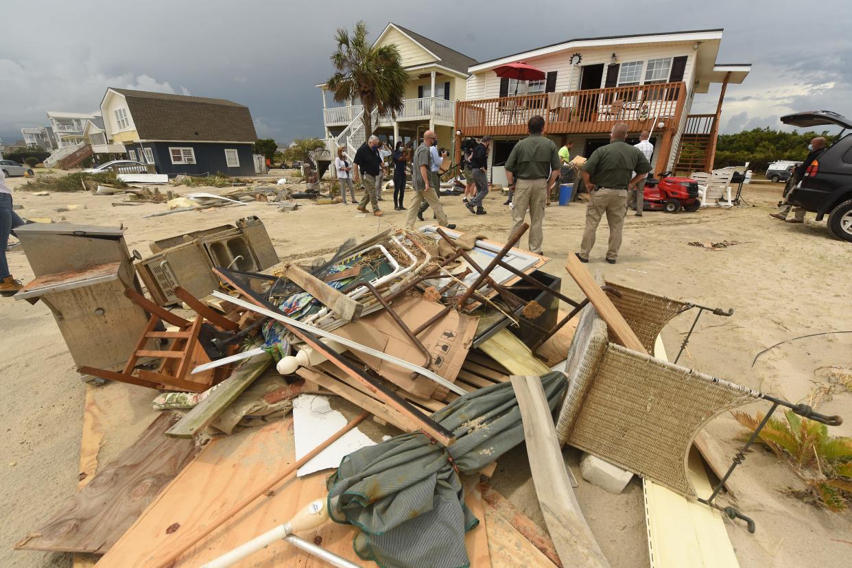
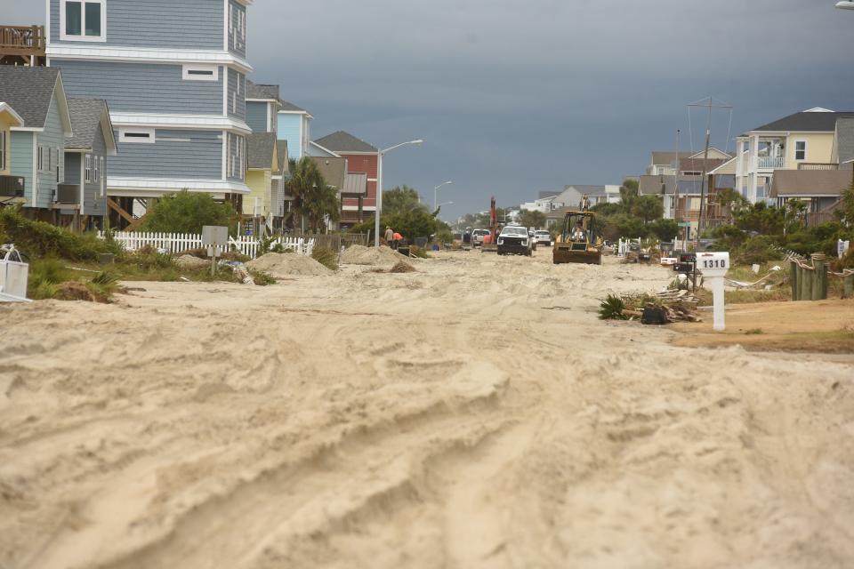
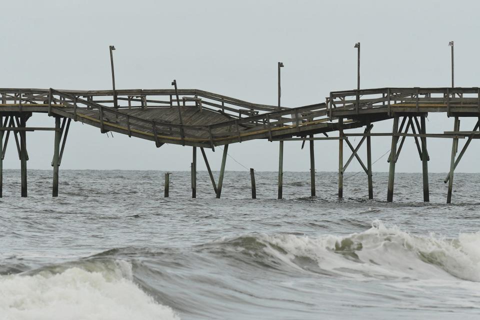
A decade later, 2020 proved to be the most active hurricane season ever with 30 named storms, 14 of which developed into hurricanes. That list included a record 12 U.S. landfalling storms, including Hurricane Isaias, which raked the Brunswick County beaches and knocked out power to nearly 400,000 customers in the Carolinas.
PHOTOS: Hurricane Isaias damage in Brunswick County from the air
What about El Niño & La Niña in 2024?
While El Niño conditions have dominated for the past year or so, that should transition into La Niña by the time hurricane season rolls around.
Dr. Michael Mann, a meteorologist and scientist at the University of Pennsylvania, said that will mean decreased wind shear in the tropical Atlantic and a more favorable environment for tropical cyclones.
Did we learn anything from the 2023 season?
Unfortunately, Mann said one of the lessons that last season reinforced was that in a world buffeted by climate change forecasters continue to have a tendency to under predict the actual number of named storms.
He added that while ocean surface temperatures are somewhat retreating from the record heat we've seen recently, his team is still expecting to see abnormally warm water temperatures in the main development region of the Atlantic for storms.
In other words, it could be a long, stormy season − so buckle up and be prepared.
"It takes only one storm near you to make this an active season for you,” said CSU meteorologist Dr. Michael Bell.
Hurricane season starts June 1 and runs through November.
Reporter Gareth McGrath can be reached at GMcGrath@Gannett.com or @GarethMcGrathSN on X/Twitter. This story was produced with financial support from the Green South Foundation and the Prentice Foundation. The USA TODAY Network maintains full editorial control of the work.
This article originally appeared on Wilmington StarNews: Hurricane season predictions for North Carolina in 2024

