Why Has Coastal Louisiana Lost 1,900 Square Miles of Land Since the 1930s?
A new study looks at human contributions to Mississippi River Delta land loss and hints at possible solutions.
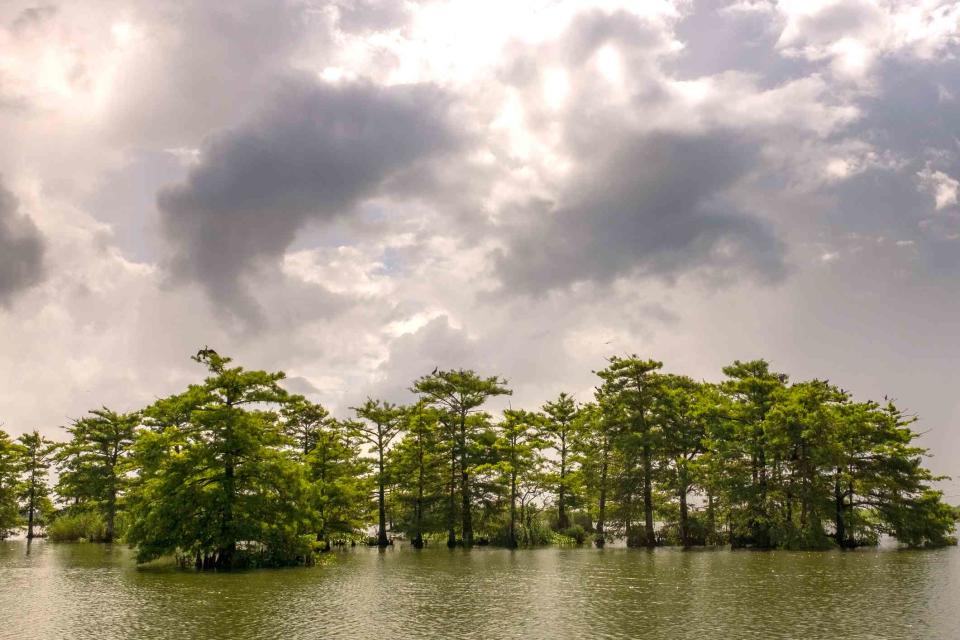
Matthew D White / Getty Images
A dying cypress swamp seen under stormy skies, Venice, LouisianaNo American river is as iconic as the mighty Mississippi. The country's second longest river, it winds its way through 10 states and drains 41 percent of the continental United States. The river and its floodplain support more than 400 different species of wildlife, while 40% of North America’s waterfowl migrate along its flyway. The basin provides critical habitat for more than 300 candidate species of rare, threatened, or endangered plants and animals listed by state or federal agencies. Not to mention the cultural significance and the services it provides to humans along its course.
Yet, in a tragic twist of fate that has befallen a number of American rivers, she's in trouble. While Native Americans have had a harmonious relationship with the Mississippi River since at least the 4th millennium BCE—including the Choctaw, Chickasaw, Quapaw, Osage, Caddo, Natchez, and Tunica in the Lower Mississippi, and the Sioux, Sac and Fox, Ojibwe, Pottawatomie, Illini, Menominee, and Winnebago in the Upper Mississippi—human interference in the last century has proven devastating, especially for the Delta.
Levees and subsurface extracting for resources such as oil and gas each account for about 40% of the Delta's land loss.
As the authors of a new study on the Delta's land loss note, "due to human efforts to harness the river and protect communities, sediment accumulation is no longer sufficient to sustain the Delta. As a result, coastal Louisiana has lost about 1,900 square miles of land since the 1930s.
Related: These US Rivers Are Endangered by Climate Change, Pollution
The research comes from scientists at Louisiana State University (LSU) and Indiana University who looked into the role humans have played in the Delta's dramatic land loss, information that is crucial to understand if we are to find solutions to this creeping disaster.
Until this research, scientists haven't understood which human-related factors have had the most impact. That the most rapid land loss happened between the 1960s and 1990s—and has slowed down in the 21st century—has also been a mystery.
What the researchers uncovered was unexpected.
"What we found was surprising," said Doug Edmonds, lead author of the study and an associate professor of Earth and atmospheric sciences at Indiana University Bloomington. "It is tempting to link the land loss crisis to dam building in the Mississippi River Basin—after all, dams have reduced the sediment in the Mississippi River substantially. But in the end, building levees and extracting subsurface resources have created more land loss."
In the early decades of the 20th century, significant efforts were made to tame the river. As the river-conservation non-profit America Rivers explains: "Following the monumental flood of 1927, an era of federally funded levees, dredging, and diking ensued. In man's attempt to control the river, we have leveed more than 2,000 miles of the Mississippi watershed, isolating it from its floodplain."
Related: 10 Breathtaking Facts About the Mississippi River
While the dams do have consequences for land loss—the study found that about 20 percent of the land loss is due to dam building—levee building and extracting subsurface resources play a much larger role. Levees and subsurface extracting for resources such as oil and gas, each account for about 40% of the Delta's land loss.
The study also suggests that the rapid land loss and deceleration between the 1960s and 1990s might be related to the reduction of subsurface resource extraction.
“This study emphasizes the importance of doing a broad systems analysis of complex problems, so we really can have confidence in the solutions we’re proposing to reverse land loss and protect our land and people,” said study author Robert R. Twilley, an LSU professor of oceanography and coastal sciences. “There’s a possibility river diversions might have more impact in building wetlands than we anticipated.”
The study, "Land loss due to human-altered sediment budget in the Mississippi River Delta," was published in Nature Sustainability.
Read Next: Drop a Raindrop on This Magical Map and Watch Its Journey to the Ocean

