Vermonter's choice: The four best hikes to view fall foliage this year
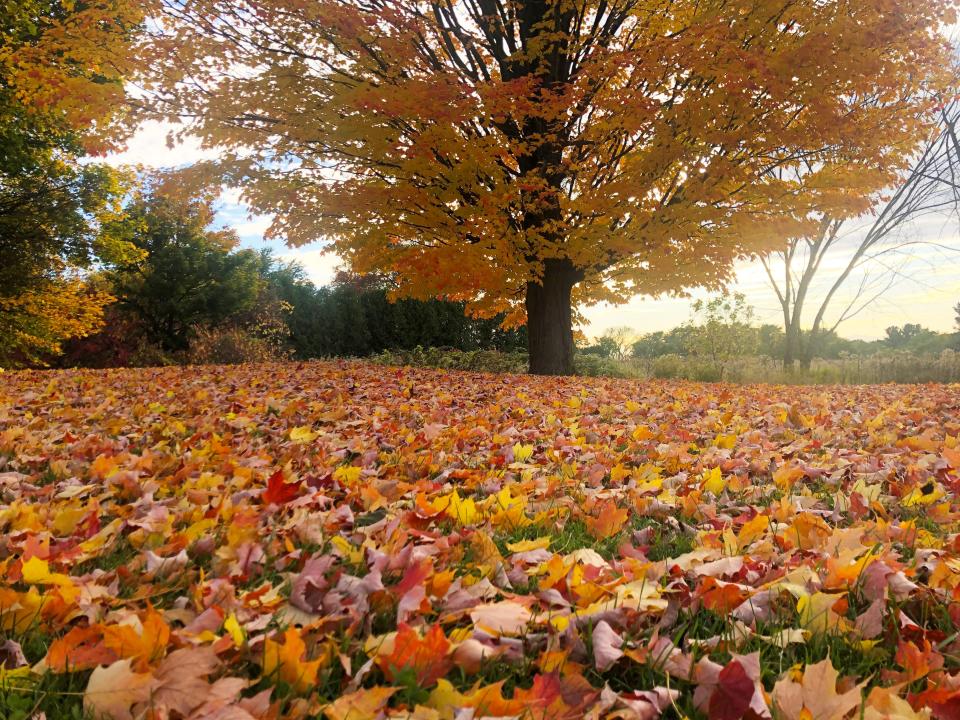
Vermont is arguably best visited in the fall.
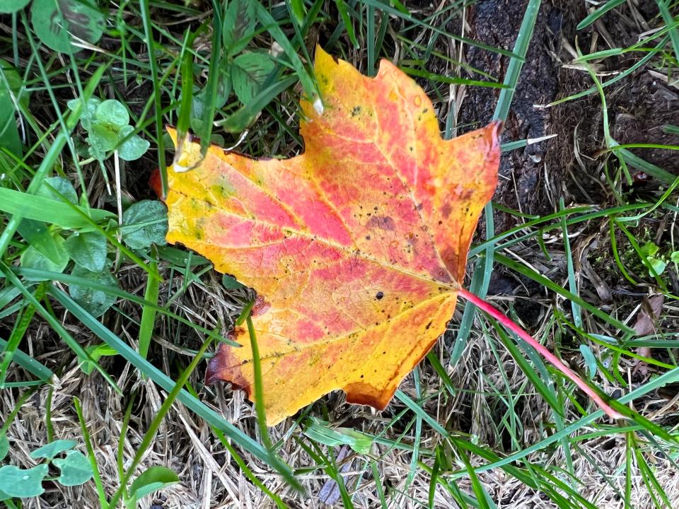
Renowned for its autumn foliage, the small state is 70% forest and boasts the country's highest maple tree concentration, according to Vermont Vacation. The abundance of seasonal colors combined with mild temperatures and fewer mosquitos makes Vermont an attractive destination for hikers, nature enthusiasts and novelty-chasers alike in September and October.
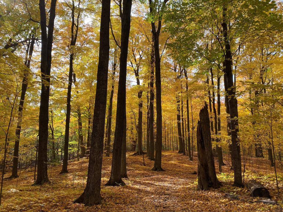
For those who don't mind venturing outside of Chittenden County, The Green Mountain Club has compiled a list of the top four best foliage views in the state, according to local residents.
Holden Trail – Westminster
Difficulty Level: Easy to Moderate
Duration: 3 miles round trip
Elevation Gain: 457 feet
Address: 1026 Windmill Hill Road North, Westminster
Part of Windmill Hill Pinnacle Association's "Walk through Time Interpretative Trail" group, this beginner and child-friendly hike in Southern Vermont is home to historic stone walls and cellar holes. Holden Trail is also dog-friendly, although leases are required.
According to AllTrails reviews, Holden Trail is a great option for hikers looking for a quick and easy romp through nature. The trail is also well-marked and simple to navigate. Just remember to pack bug spray.
Skylight Pond Trail – Ripton
Difficulty Level: Moderate
Duration: 5.2 miles round trip
Elevation Gain: 1,460 feet
Address: 3624 Steam Mill Road, Ripton
Nestled into the Green Mountain National Forest, this moderate hike is more rugged and physically demanding than its predecessor on the list. Adventurers should expect to cross small streams and potentially rocks, debris, mud, ice, snow and bugs to arrive at their destination: a glistening pond. The hike does boast a shelter under which travelers can eat and rest.
AllTrail reviews describe the Skylight Pond Trail as quiet and secluded, a respite from more popular trails.
Lincoln Gap Road to the Long Trail South – Warren or Lincoln
Difficulty Level: Moderate to difficult
Duration: 4-22 miles round trip
Elevation Gain: 1,300-3,200 feet
Intimidated by the 22-mile roundtrip? No worries. This ambitious trail leading to Emily Proctor Shelter can be shortened without a loss in foliage viewing quality. Hikers can choose between two lighter options: a 4-mile roundtrip to Sunset Ledge or a 9.8-mile roundtrip to Mount Grant.
Hikers should be warned that parking is limited on both ends of Lincoln Gap Road.
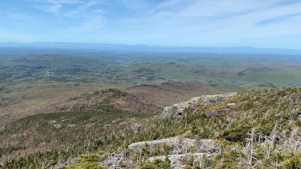
Burnt Rock Mountain via Hedgehog Brook Trail – Fayston
Difficulty Level: Difficult
Duration: 5.2 miles round trip
Elevation Gain: 2,010 feet
The most arduous hike on the list, this trail to Burnt Rock Mountain is quite popular among hikers. South of Camels Hump, Hedgehog Brook Trail possesses gorgeous streams, brooks, trees and grand vistas, but also sharp, rocky inclines, according to outdoorproject.com. At and close to the summit, trekkers can glimpse the peaks of Ira Allen, Ethan Allen and Camels Hump, as well as the Mad River Valley and Lake Champlain.
Due to the prominence of slippery granite rocks, avoid hiking this trail when it's wet outside.
Hiking Guide & Tips
Fall weather in Vermont is not always temperate, and can in fact be quite fickle. Evening temperatures sometimes hit the 30s, and it's not uncommon for trekkers to encounter rain, mud and snow all within a 24-hour window, according to the Green Mountain Club.
For those reasons, fall hikers should layer up − jackets, gloves and hats are recommended − especially when exploring higher elevations in late fall. It's also recommended to wear micro-spikes when hiking through higher elevations when it is icy outside, as the return trek might be treacherous without them.
Hikers should remain on the trail and always carry a map, lest leaves obscure the route. Carrying headlamps, flashlights and trekking poles are also advised in case trekkers get lost outside in the dark or the trail contains hidden roots or rocks.
Lastly, as fall is also hunting season, hikers and their pets should wear blaze orange to differentiate themselves from wildlife.
Megan Stewart is a government accountability reporter for the Burlington Free Press. Contact her at mstewartyounger@gannett.com.
This article originally appeared on Burlington Free Press: Vermont trails to hike for leaf peepers to get fall foliage views

