This New Tool Lets Homeowners Check Their Property's Flood Risk
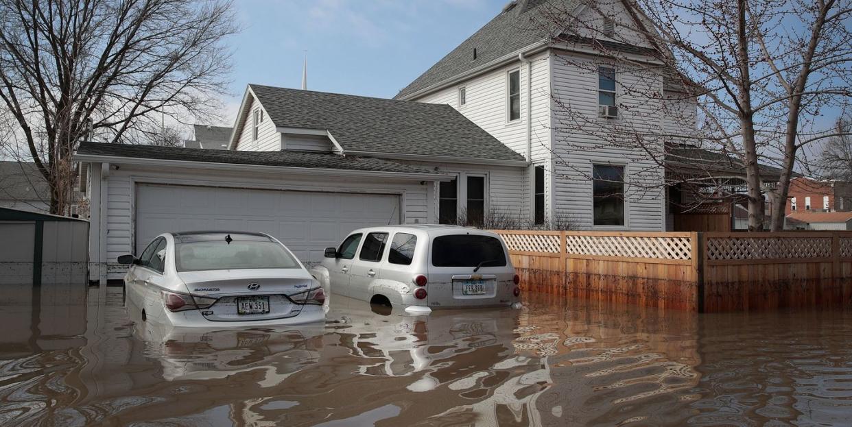
As the United States continues to report new highs in coronavirus cases, it feels like the safest place we can be is at home. But what happens when your home is at risk of flood damage and you weren't even aware?
Last week, New York-based independent research group First Street Foundation released an all new flood map model of the contingent United States that put federal flood maps to the test. This new model, which took years to develop, was created by researchers and hydrologists from Fathom, Rhodium Group, and top academic institutions. Overall, its findings reflect one thing: Flood risks in the United States have been severely underestimated.
As First Street writes on its website, this "high precision, climate adjusted model that assesses flood risk at the individual property level" takes environmental factors that have previously been overlooked into account in its data collection. Think: intense rainfall, storm surges, tidal sources, and riverine flooding—which will worsen with climate change.
What's also groundbreaking about First Street's new model is it allows the public to easily look up the flood risk status of their own property by using its Flood Factor tool.
Today we published our “First National Flood Risk Assessment”, and publicly released flood risk data for more than 142 million properties across the U.S. Overall, at least 16.5% of US properties are at any risk of flooding within the next 30 years.https://t.co/nGCXzaKHAa. pic.twitter.com/Vas4K5TLdW
— First Street Foundation (@FirstStreetFdn) June 29, 2020
The New York Times evaluated First Street's findings against government-created maps, created by the Federal Emergency Management Agency (FEMA). It notes that FEMA maps are not updated as frequently as they should be due to costs and a heavy labor process. Plus, even when these maps are refreshed, they do not account for flooding caused by intense rainfall, which is now being brought on more frequently as the atmosphere warms. Not to mention, politicians and homeowners often object to the data provided in order to minimize federal flood insurance rates.
FEMA has acknowledged the First Street's work, saying this map would "complement FEMA’s efforts," according to The New York Times.
But what’s alarming about this new map is that nearly twice as many properties may be subject to flood damage than previously thought. First Street’s model includes areas that the government hasn’t yet mapped for flooding, and places where the federal maps hadn't updated in decades.
Key findings showed that inland cities were actually at a higher risk than previously accounted for. At the top of the list was Chicago. While FEMA pegged 0.3% of Chicago properties as being at risk, First Street calculated 12.8% of properties could be in danger. The main cause was rain-based flooding, which is not accounted for on FEMA's maps.
In addition, FEMA's estimates for coastal cities were also lower than what First Street found. In Fort Lauderdale, FL, FEMA had reported that approximately 41% of the city’s properties faced some sort of risk, yet First Street found that 64% of properties faced flooding danger.
First Street notes that its model may overestimate flood risks in some areas, particularly small municipalities, as it doesn't factor in every local flood-protection measure, such as pumps or catchment basins. :We know there is no perfect science to predict flooding," a spokeswoman from the foundation told The New York Times. However, she notes that this new model "may help property owners with the critical decisions they must make and purchase necessary insurance."
Our advice? You can never be too safe. A map that may slightly overestimate flood risks is still better than a map that severely underestimates them. You can check out First Street Foundation’s new flood model here, as well as The New York Times analysis which pits FEMA’s map up against First Street’s map here.
Follow House Beautiful on Instagram.
You Might Also Like

