A Massive Dust Plume Is Headed for the Southeastern U.S. This Weekend
Among the ongoing pandemic, the threat of mosquito-borne diseases, and above average temperatures predicted this summer, there are plenty of reasons to stay inside this summer. But if you aren’t convinced just yet, the massive dust plume heading into the states might make you reconsider.
A giant storm of dust particles originating from the Sahara Desert has traveled more than 5,000 miles across the Atlantic ocean, the Caribbean, and currently into the Gulf of Mexico, reports The Weather Channel. And now, this cloud—dubbed the Saharan Dust Plume—is slated to spread up into the southern and eastern U.S. on Thursday and Friday. Residents in Texas, Louisiana, Oklahoma, Arkansas, Mississippi, and Florida can expect to see hazy skies over the weekend, which may affect their visibility.
A computer model forecast of atmospheric dust for the next 10 days. The plume of Saharan dust is expected to move over the Southeastern US next week. The dust will be primarily at higher altitudes, so the main impact will be some especially colorful sunrises sunsets pic.twitter.com/bBzFp06lCu
— NWS Eastern Region (@NWSEastern) June 19, 2020
While The National Weather Service Eastern Region tweeted that “the main impact will be some especially colorful sunrises sunsets,” individuals with respiratory issues are advised to take caution, as this dust plume can make it hard to breathe.
“Some of this dust will settle to ground level,” CNN meteorologist Chad Myers warns, advising people to “monitor their local air quality and possibly limit outdoor exposure.” As the air becomes concentrated with particles, certain parts of Texas and Oklahoma are forecast to be unhealthy for sensitive groups on Friday. You can monitor your area’s air quality using this interactive map on AirNow.
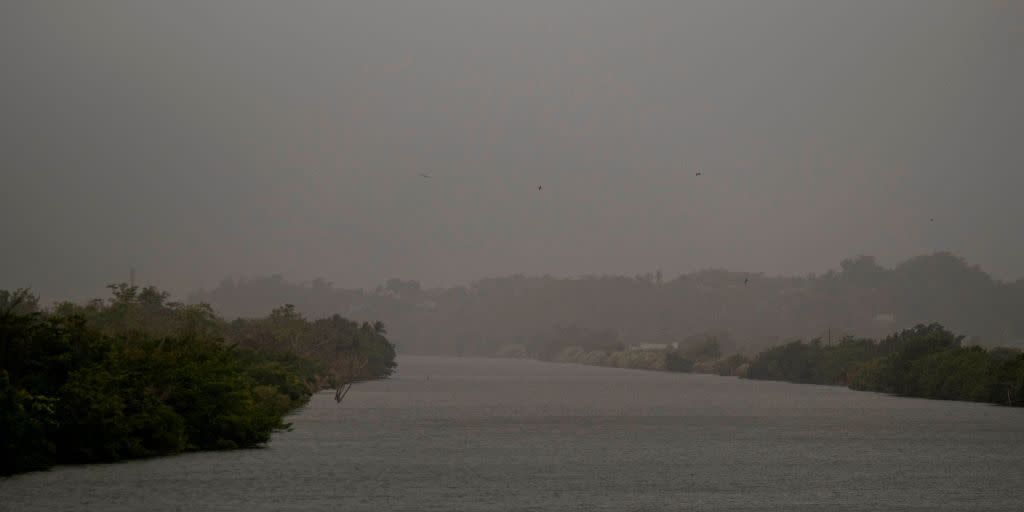
This phenomenon of dust traveling from the Sahara Desert and overseas isn’t actually rare. The Saharan Air Layer (SAL), is a dry dust plume that forms between late spring through fall and moves into the tropical Atlantic Ocean several times a year, according to NOAA’s Hurricane Research Division (HRD). However, this current dust layer has been unusually and intensely thick. In Puerto Rico, the plume had its highest concentrations in at least the last 15 years, according to Dr. Olga Mayol at the University of Puerto Rico. Below you’ll see a tweet from a Puerto Rico meteorologist showing a side-by-side before and during the dust passing over.
8 am: Preliminary measurements from #SaharanDust in #PuertoRico are between 350-380 ug/m3 (PM10) and AQI estimated 173-237: VERY UNHEALTHY 🔴. According to Dr. Olga Mayol, @UPR_Oficial this is a historic event in PR, unseen in 50-60 years. Image from #Villalba 📷 Osvaldo Burgos. pic.twitter.com/oVAyOOViCa
— Ada Monzón (@adamonzon) June 22, 2020
Hopefully by Monday this should all have cleared up, but we recommend checking your local weather forecast to determine your neighborhood’s air quality. While this dust plume may seem inconvenient, there is one potential perk.
According to research, all this dry wind can actually create downdrafts (sinking air) around tropical storms and hurricanes, which may result in the weakening of tropical cyclones.
You Might Also Like

