A Love Letter to Maps
Ever since I was a kid, I have loved maps. I loved the treasure maps we would, for obscure pedagogical reasons, make in primary school before ageing them with soggy tea bags and scorch marks. I loved the maps that would invariably crop up at the front of all the shit fantasy paperbacks I’d read — “To the North, The Swamps of Terror! To the East, The Mountains of Dread!” — and I loved the maps that would come with the sword ’n’ sorcery computer games to which I dedicated my tweenage years. So, yet more terrible swamps, yet more dreadful mountains. Small worlds, really, neatly ordered and with danger clearly marked. Perfect places for the imagination of a naturally cautious child.
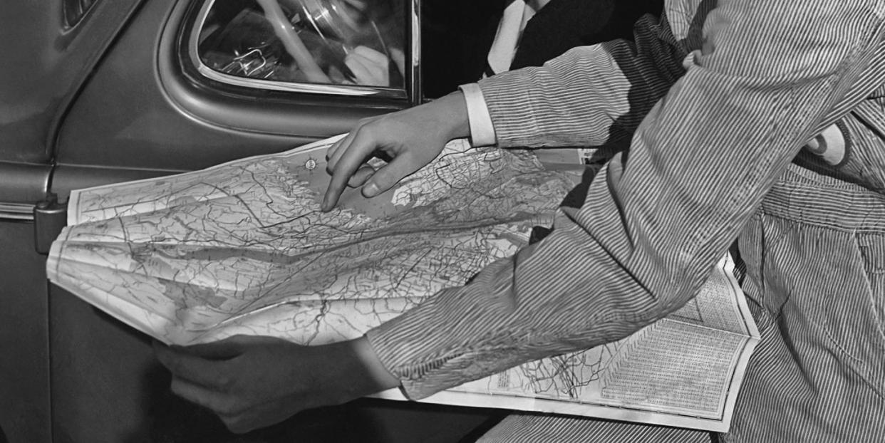
And while all this fictional cartography was always a deep source of pleasure, nothing came close to the buzz of having time alone with the real thing. I could spend forever, sitting happily in the car while my mum and dad were off looking at carpets, so long as I had full and uninterrupted access to some crisps and the glove-compartment Great Britain and Northern Ireland A-Z Handy Road Atlas. Using the index, I could first locate myself (Leeds) before tentatively exploring the world around me. Wakefield, Dewsbury, Barnsley! Rotherham, Sheffield, Chesterfield!
Seeing that I existed in a specific place, and that specific place, in turn, existed within a broader geographical context, made me feel at ease. Feels weird to say but I think, on some level, it soothed my nagging existential suspicion that reality might all be some big illusion: I am HERE. Wakefield is there. There was comfort in that knowledge.
Not that I was only interested in the world around me. Church services were made more than tolerable when I discovered that, at the back of every United Reformed Church bible, were several highly detailed historical maps of the Holy Land. “Jesus Christ,” I remember thinking as everyone else shut their eyes in prayer. “Moab, Judah, Ammon! Jericho, Ziklag, Joppa!” These places held absolutely no meaning to me, but knowing where they were – or at least, where they had once been – felt good.
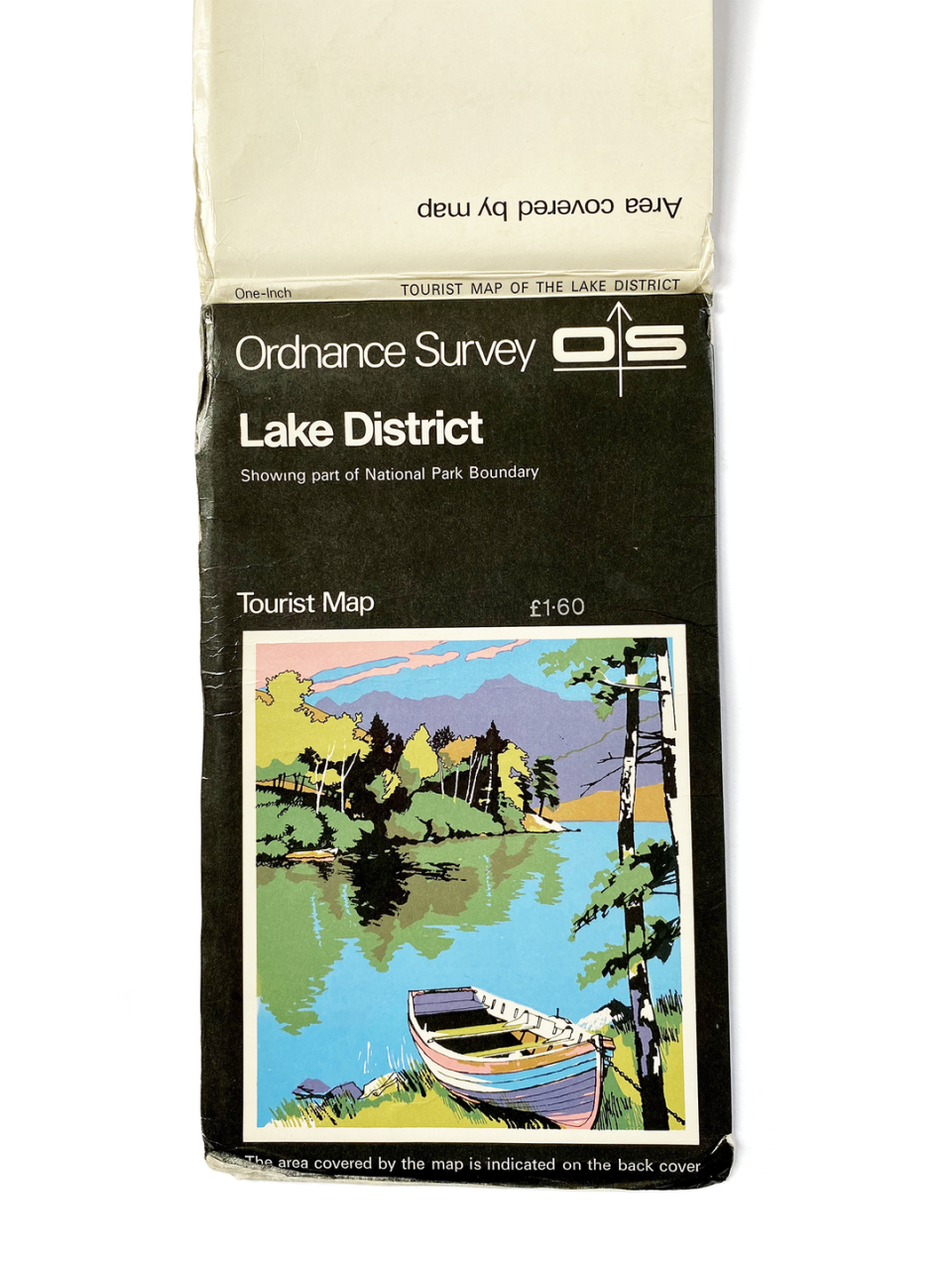
The fun didn’t stop there. As a committed scout, Ordnance Survey maps (in particular the 1:25,000 scale Explorer series) provided me with the same fidgety endorphin thrill as any number of dirty magazines. Spread out on my bedroom floor, my eyes would trace every contour line, spot every public telephone box, every church with a spire, every stream, every beck. I’m not saying I was an interesting child, but I really loved maps. You cannot take that away from me.
Twenty-five years on, the only thing that has really changed is that I’ve gone digital. Google Maps and, in particular, its Street View function, have become a one-stop shop for desk-bound exploration, by which I mean rank procrastination. Sometimes I’ll trace the route of a motorway, swooping over the countryside, invisible and godlike. Other times I’ll loiter outside the places I lived as a child and, if I’m feeling particularly self-indulgent or have had more than two beers, listen to some sad music through my headphones as I drift around old haunts.
Lately, I’ve become quite into dropping a Street View cursor in random places and then having a look around, just, I tell myself, “to see what the vibe is like”. So instead of working or doing other productive things like going onto my kids’ primary school portal to see if they have any maths homework, I will instead allow myself to wander around small villages in the Baltic states or have a little nosey round Baku. Which looks lovely.
To assuage my feelings of guilt, I tell myself that there is a good chance that I wouldn’t even have children with needs to ignore if it wasn’t for Google Maps. One night at the pub in London over a dozen years ago, the woman who would become the mother of my children mentioned that her grandparents had lived somewhere which, by coincidence, was very close to where I had lived as a kid. Recklessly, I suggested we go back to my flat to look up their exact location on Google Maps — this was the pre-smartphone age — and she agreed. Sat side by side on my bed, and with my laptop burning hot against my groin, we established that, yes, her grandparents had lived about two miles from me. Then she went home, possibly because I started zooming in on castles and stuff. But a connection was established, all thanks to sexy satellite mapping technology.
And then, last year, something very unexpected happened. For the first time in my life, my obsession with Google Maps proved… useful. Productive, even. I had started to write a book. It was the true story of a socially isolated young man from Devon who, in the run-up to the global financial crisis, had become increasingly obsessed with global income inequality and the various social and ecological evils of undiluted capitalism. When the crisis came, the young man – whose name was Stephen Jackley – resolved that the best way to help change things would be to rob from the rich and give to the poor.
With no prior criminal experience, Jackley began to lead a double life as a geography student by day, bank robber by night. Using a replica pistol, he committed a string of heists across the south-west of England, and criss-crossed Europe, all as part of his obsessive vendetta against the banks. It was only after Jackley was finally captured and jailed that he was diagnosed with Asperger’s syndrome.
What became clear, very quickly, was that the only way I could realistically retrace Jackley’s steps was by using Google Maps and Street View. On one occasion, he fled from the scene of a robbery by picking his way along the high cliffs of Devon’s Jurassic Coast. Thanks to technology, I could follow his exact route. Another time, he escaped through the tight, Tudor alleys of Worcester. Again, from my desk, late at night, I could do the same. Using satellite images I was able to zoom in on the fire escapes he climbed up during his robberies, the patches of woodland where he stashed changeover clothes for use during getaways and walk the streets of the small seaside town where he had grown up.
When Jackley ended up travelling to Vermont in order to acquire a real gun for use in his crimes, I was able to go there with him: to visit the gun store where he finally came unstuck, to follow the route of the subsequent car chase and, finally, to walk around the perimeters of the federal prisons in which he found himself incarcerated. In writing this book, I travelled thousands of miles, scoped out banks and made a dozen daring getaways, all by click-click-clicking my way around one misguided young man’s warped reality.
Sometimes, very late at night, with the publisher’s deadline fast approaching, my girlfriend would pop her head around the door while I was working to see how I was. She’d see me staring at a map and frown.
“It’s not what it looks like!” I’d tell her. “I’m working! Honestly!”
The only problem is, the book’s done now, so I’m going to need a new excuse. Or perhaps I don’t. She knew what I was like when we got together. I just love maps. Always have.
Like this article? Sign up to our newsletter to get more articles like this delivered straight to your inbox
Need some positivity right now? Subscribe to Esquire now for a hit of style, fitness, culture and advice from the experts
You Might Also Like

