Hurricane Ridge to Obstruction Point Scenic Drive
This article originally appeared on My Olympic Park

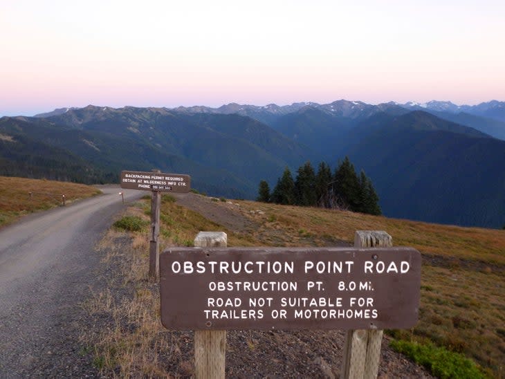
The road is an eight mile dirt maintained road from Hurricane Ridge to Obstruction Point. Although it is usually open from mid-July to October, the road is subject to weather and damage closures without notice.
Always call ahead for road conditions (360-565-3131 recording). The road sees heavy traffic when open, especially on weekends. Weekday travel is preferable during peak season. Only cars are allowed. The road is not suitable for trailers or motorhomes.
Up for the Trip?
The Obstruction Point Road begins near the Hurricane Ridge Visitor Center at 5242 feet above sea level. Take a right as you exit the parking lot. The road is slightly hidden because of a dip from the parking lot down to the road so it’s easy to miss if you don’t know it’s there. As you drive, the road weaves back and forth on sharp switchbacks, ending at Obstruction Point at 6,150 feet above sea level.
The road comes to an end at a small parking area, which serves as the trailhead for several paths including the popular Badger Valley Grand Lake Loop.

For exclusive access to all of our fitness, gear, adventure, and travel stories, plus discounts on trips, events, and gear, sign up for Outside+ today.

