Hiker rescued from "clearly dangerous" cliffside after following non-existent Google Maps trail

A Vancouver hiker's day didn't quite go as planned over the weekend when he relied on his phone for navigation. The man, who required a helicopter rescue, was attempting to hike Mount Fromme, one of the North Shore Mountains north of Vancouver, from the Kennedy Falls area. Using Google Maps he followed a trail that it turns out doesn't exist – and found himself stranded on a steep cliffside.
North Shore Rescue (NSR), who came to the hiker's aid, revealed in a Facebook post that this is the third such rescue mission required as a result of the erroneous navigation guide.
"NSR has attempted to contact Google to have this non existent trail (north of Fromme, going towards the vicinity of Kennedy Falls) removed, however we have not received any response."
The rescue team also notes that not only does no such trail exist in the area, the terrain is "clearly dangerous" and has been the scene of one fatality, in 2021.
"The area in question has no trails and is very steep with many cliff bands throughout," the post warns, adding that NSR has recently placed signage in the area warning of this.
The hiker in question reportedly had minimal gear, inappropriate footwear for the terrain and hadn't brought a flashlight, making it difficult for rescuers to spot him. Further hampering their efforts were low clouds which reduced the helicopter pilot's visibility, and the dense tree canopy, which meant the individual could not be spotted from the air.
"A team of two helicopter rescue technicians was inserted by hoist approximately 100m below where we believed the individual was stranded (the low clouds prevented the helicopter from getting any higher), and they carefully made their way through the terrain on a roped belay."
Upon reaching the unfortunate hiker, the team, who were all on belay, were able to place him in a harness and bring him safely down to a location where he could be extracted by helicopter.

Backcountry safety
The incident has spurred NSR to issue advice to backcountry hikers regarding the use of navigation apps – as opposed to a map and compass – on a hike.
"It is simply not appropriate to navigate in the wilderness using ‘urban street map’ programs like Google Maps. If you are using a phone-based navigation app, consider using something specifically designed for the outdoors such as CalTopo or Gaia, pre-loaded with an appropriate wilderness topo map for the area."
Furthermore, they advise that even if you do use your phone for navigation, be sure to carry an portable charger such as a solar charger, as navigation apps can drain your phone's battery quickly. Learn more in our article on how to keep your phone charged on a hike.
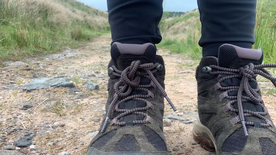
Finally, they urge hikers to research their routes in advance and wear appropriate footwear such as hiking boots.

