What Should the Future of the Pacific Northwest Trail Look Like? The Forest Service Wants to Hear From You.
This article originally appeared on Backpacker
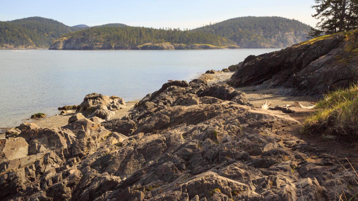
The United States Forest Service is asking community members for comments on the management of the Pacific Northwest Trail (PNT), a 1,200 mile route that runs from Montana to the Washington coast and includes sensitive grizzly habitat.
The Forest Service Northern Region's press officer, Dan Hottle, notes that the management plan could shape what the PNT looks like for hikers in decades to come
"We are developing a vision for its future, including recreational opportunities." And that community members should be a part of that process." The goal of the process is to establish a new version of the PNT that provides recreational access while instituting conservation tactics that protect historic, natural, and cultural destinations that border the rail.
Hikers have been talking about establishing a hike along what is now the PNT since the 1970s, but it wasn't until 2009 that the government designated it as a National Scenic Trail, which the National Park Service defines as primarily non-motorized "routes of outstanding recreation opportunity, which are at least 100 miles long, "traverse beautiful terrain, and connect communities, significant landmarks and public lands."
The current PNT route winds from Glacier National Park to Washington's Pacific coast. Along the way, it travels through 7 national forests, 3 national parks, private lands, state, tribal and Bureau of Land Management terrain. It's not all beautiful singletrack, though: The trail includes 438 miles of gravel and paved roads, which many hikers find underwhelming
Since the developers of the PNT established it using pre-existing trails and roads, Jeff Kish, the Executive Director of the Pacific Northwest Trail Association, suspects that many hikers overlook the PNT for more developed and visually-appealing trails. Rerouting the trail could add more memorable destinations to the trail while creating permanent public access in places that currently rely on private land owner participation.
Another topic that officials are currently mulling over is how to manage a section of trail that goes through Lincoln County, a notorious grizzly core area. Some community members claim that the current route puts hikers, local communities, and grizzlies at risk, and that as the trail grows in popularity it will only enhance the problem.
"You don't want a high use trail going through grizzly core," says Ashley South, the Community and Communications Manager for the Yaak Valley Forest Council. "It's going to cause problems for locals, timber management and bear recovery." To address the issue, one environmental group suggested establishing a route through Eureka, Libby, and Troy in order to minimize core grizzly travel. But the Lincoln County Board of Commissioners has historically fought against re-routing the trail.
There are also some sections of trail where hikers may have to bushwhack from between established sections, like an infamous 7-mile stretch through northern Idaho. The PNT management plan could help officials to develop or re-route these sections of trail in order to establish a more accessible trail.
Officials hope to finalize the management plan by the end of 2023. The USFS will accept comments through April 17.
For exclusive access to all of our fitness, gear, adventure, and travel stories, plus discounts on trips, events, and gear, sign up for Outside+ today.

