What ELSE do drones and butterflies have in common?
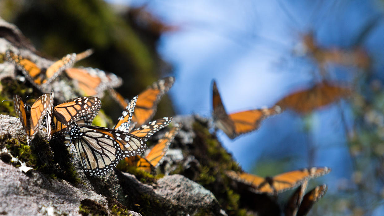
The Monarch butterfly migrates 2,500 miles (4,000 km) across Mexico, the United States, and Canada, but it is now classified as endangered, facing illegal logging in Mexico and excessive herbicides in the central US states.
That's an extraordinary journey that takes 5 months of their nine-month lives, and finding a way to protect that migration between Mexico, the USA, and Canada has become a symbol of cooperation in North America.
It isn't just important for political reasons either. Even most Monarch butterflies don't have to contend with such a long life or weighty journey. Only those born around August – called the Methuselah generation – are guided by the species' unique radar to undertake this journey and, along the way, act as important pollinators and assist growth of crops.
To help preserve the butterflies, the Oyamel forests in Mexico have been designated a Natural World Heritage Site by UNESCO, and it needs permanent monitoring for tree health. This is impossible to achieve on foot; not only is the forest physically too big, but in places the terrain is dangerous.
Drones can fly over and identify trees of failing health which can be eliminated before they affect the rest of the tree population. The solution is a fleet of conservation drones, especially the Mavic 3 Multispectral.
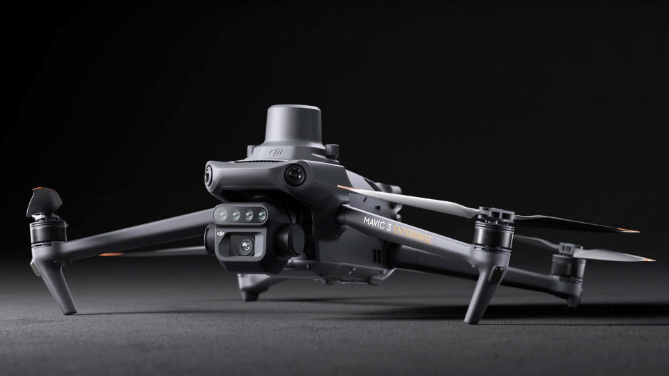
The four cameras on the drone are able to capture 45 megapixels worth of green, red, red-edge, and near-infrared (as well as traditional optical) which provides a lot more light wavelengths than standard RGB. From these drone operators Cielito Drone and scientists from the Universidad Michoacana de San Nicolás de Hidalgo can identify the affected trees fast using 3D maps assembled by DJI Terra.

The drone boasts another useful feature – terrain-follow. Despite rises and falls of up to 700m (2,300ft) between the lowest and highest areas, the drone is able to keep a consistent height from the ground as it assembles its images.
Interestingly, the same tech can also be deployed by farmers (I'm looking at you USA) to identify crop damage and target pesticide use. That would minimize total use, saving farmers cash and offering more hope to the Monarch butterfly.
The team also uses a Matrice 300 RTK with Zenmuse L1 optic to very precisely measure the trees and biomass at sites where the butterflies arrive. Together a survey that used to take six days can now be achieved in one, and gain higher levels of detail.
If you want to read more, DJI has other enterprise offerings, like the Mavic 3 Thermal which I recently reviewed, and it's always worth checking out our guide to the best camera drones.

