The Agony of Deciding to Evacuate a City
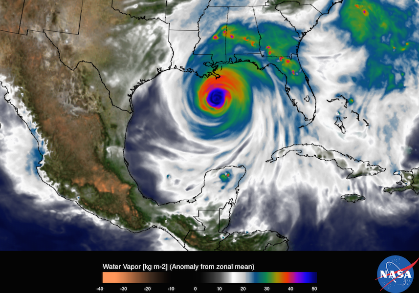
Two days after Hurricane Harvey first hit the Texas coast, Houston is still under siege. Eight people have died. Two thousand have required rescue from flooded areas. Thirty thousand are expected to leave their homes for public shelters. Harvey has been downgraded to a tropical storm, but the water's still coming: Forecasters expect parts of Houston to see 50 inches of rainfall before it's over, likely midweek.
“Quite frankly, leaving your homes, getting on the streets, you’ll be putting yourself in more danger and not making yourself safer,” Houston mayor Sylvester Turner said at a press conference Saturday, just as the storm began to wreak havoc on the South Texas coastline. “And so we’re just asking people to hunker down.”
As the waters rise, residents and onlookers are questioning the call. Harris County officials, who oversee Houston, have since issued a voluntary evacuation for specific subdivisions. A fifth of neighboring Ford Bend County is under a mandatory evacuation.
So why didn’t Houston leave before the rain began? Like any big American city, it had a plan at the ready, a playbook crafted over years that was constantly updated with the freshest intel.
Asking a metro area of 6.7 million people (the fifth largest in the country) to flee for higher ground is not a decision anyone makes lightly. And it's important to note that, even now, there's no consensus on whether local leaders made the right decision. Even with the benefit of hindsight, experts will debate the question for years. They may never agree.
And there are serious downsides to leaving. “Evacuations are enormously costly and disruptive, not just to the areas that are being evacuated but to the areas they’re going to,” says Brian Wolshon, a transportation engineer who studies evacuations at Louisiana State University. “It’s a tough call to get right.”
Evacuation Plans
The first thing to know is that any evacuation order takes shape long before a hurricane does. “Managing evacuations is a very systematic process that requires a lot of pre-planning: what we’re going to do, the timing of it, how long it takes to get people out of their houses, into their cars, and onto the road network to get them out,” says Susan Cutter, a geographer who studies disaster vulnerability at the University of South Carolina.
American cities pour thousands, if not millions, of dollars into that pre-planning, making contingency schemes that sit unused for most of their lives. ("Houston has one of the most robust and detailed evacuation plans that I know of," Wolshon says). They answer questions like: Which roadways are the best to use during a huge evacuation? When should agencies convert highways to contraflow, sending all the lanes in the same direction? And how does all that vary for a category 1 hurricane versus a category 5 versus a tropical storm?
Hurricane Watch

Disasters
This weekend’s flooding threatens to overrun both the built and natural systems in Houston and its surrounding county.

Climate Desk
Corpus Christi, a critical port for the Texas oil and gas industry, is also one of the most vulnerable places in America when it comes to coastal flooding.
Environmental science
Katrina looked like a pixelated blob in 2005 hurricane models.
There are plans for different neighborhoods and counties. There are voluntary evacuations and mandatory evacuations (though most states don't have the authority to penalize residents for refusing to comply with an order, and those that do tend not to). There are evacuation zones, which cities use to tell one area to get a move on and keep others from budging.
Emergency managers use detailed mathematical models to predict the best course of action for any set of circumstances. But these variables can change in the days before hurricanes bear down on coastlines (Harvey was only upgraded to a Category 3 on Friday, and a Category 4 hours later), or even once the storm is underway. And many of them depend on the most mysterious X factor of all: human behavior.
Oh, the Humanity
Evacuation decisions begin with the weather forecast. This is, in theory, the simplest part of the equation—the movement of a storm depends on laws of physics. Where and when will the storm hit? How much water will it dump and what kind of wind speeds will it threaten? Historically, cities have been more willing to trigger evacuations in coastal areas directly in the path of a large and windy hurricane and less likely when a storm simply threatens to flood.
Evacuation plans also depend on highly detailed population data. How many people live in your city and in how many units? How many people have access to cars? How many speak English? How many have pets? How many need help with transportation because they are senior citizens or because they have a disability that makes it harder to get around? Demographics of a city can change rapidly, so officials need the most recent numbers available.
Then there’s travel behavior. Before calling an evacuation, public agencies must predict how many people will go to public shelters and how many will hole up with friends and family, or head to hotels or motels. What direction will they want to move in? How many cops do you need to direct traffic? How many tow trucks to move broken down cars off the packed roads? How much staff to bring fuel out to stalled vehicles? And how many will choose to leave, anyway? (Researchers are still studying how residents react to social media warnings, a new-ish phenomenon.)
Better to selectively target the populations that need help, the reasoning goes, than disperse millions of people throughout the region.
Cities' "clearance times"—how long it takes for all the residents to clear out—vary dramatically by location and storm severity. For an especially bad event, a city like Mobile, Alabama, with relatively few major thoroughfares, needs a few days to get everyone up and out. Houston needs 60 hours, New Orleans 72. Boston would like at least 13.
Getting it wrong can have terrible consequences. You might send everyone to an area hit harder by the storm than the place they left. You could create gridlock that traps the most vulnerable—like those who live right by the coast—in the most dangerous place. You might strand evacuees on a rain-soaked highway when they would have been safer on the couch. (The majority of flood-related deaths happen inside cars.)
The decision has financial and political implications: Emptying a place out costs about $1 million per mile of coastline. And no one wants to be the mayor who told people to leave, only to get a residents killed in road accidents on their way out of a storm that turns out to be not so bad. (This notoriously happened in the Houston area during 2005's Hurricane Rita, when "shadow" evacuees, people who hadn't been told to leave but got nervous enough to bail anyway, created insane traffic jams. About 100 people died on the road, from crashes, heat stroke, and a terrible bus fire that killed 24.)
In many cases, cities call for a "vertical evacuation"—a fancy way of telling residents to get to the second floor if they have one. "For a shelter in place, you pre-position your resources as much as you can, get all your first responders together, and then, when it’s safe for them to respond, you say, 'Everybody go,' " says Gary Cecchine, who oversees research at the RAND Gulf States Policy Institute. Better to selectively target the populations that need help, the reasoning goes, than disperse millions of people throughout the region—and then somehow get them all back home.
It's too early to know what Houston should have—or could have—done differently. But researchers say the outcome will provide a new and varied data set that cities should use to improve their procedures. There is no perfect evacuation, but the hope is that evacuations will keep getting better.

