UK weather: Thunderstorm warnings in southeast England
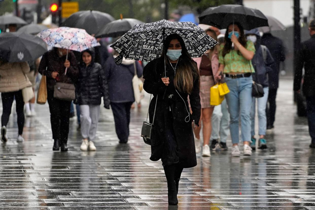
Millions of people across the southeast of England are braced for yet more rain, with thunderstorm warnings in force through today.
The “warning zone” covers a broad sweep of the southeast and East Anglia, covering Hull, Norwich, London, Southampton and Birmingham. Strong winds are also expected as the storm develops on Friday morning, while areas of the southeast including Kent can expect torrential downpour.
As the day progresses, the rain will move in a northwesterly direction, expected to drench the eastern Midlands, central and southern England by lunchtime.
The Met Office warned people to expect poor visibility and wet roads, as well as torrential rain and lightning.
A stretch of cloud covers the Midlands and the southeast, with showers expected. A weather warning will be in place throughout Friday and into the early hours of Saturday morning, the Met Office said.
Scotland’s Friday is off to a bright and chilly start, with some clouds around the east and the occasional shower across the north, according to the Met Office.
The sunshine in much of Scotland’s central belt will extend down to Cumbria, Lancashire and Chester as well as the north and the west of Wales and much of Northern Ireland.
Scotland, northwest England, west Wales, and Northern Ireland will enjoy sunshine on Friday morning and afternoon.
Looking forward towards the weekend, the weather is likely to settle on Saturday before more showers on Sunday.
Read More
UK weather: The latest Met Office forecast
UK heatwave: Why do thunderstorms happen after hot weather?
UK weather: Monday forecast to be hottest day of the year before thunderstorms wash away heatwave

