Tropics watch: Tropical Storm Bonnie expected to form Tuesday as NHC issues watches, warnings
After getting off to a slow start, the tropics are making up for lost time.
The National Hurricane Center is monitoring three systems in the Atlantic basin.
The Hurricane Center is issuing advisories for Potential Tropical Cyclone 2 after it formed Monday evening east of Trinidad. A tropical storm warning was issued for Trinidad and Tobago, Grenada, and its dependencies as the system continues on a west-northwest track toward the southern Windward Islands in the Caribbean Sea.
Late Monday night, a tropical storm watch was issued for the coast of Venezuela from Pedernales to Cumana, including Islas de Margarita, Coche, and Cubagua as well as Bonaire, according to the Hurricane Center.
Potential Tropical Cyclone 2 is expected to strengthen into a tropical storm before reaching the southern Windward Islands late Tuesday or while moving west across the southern Caribbean Sea. It would become Tropical Storm Bonnie, the second named storm of the 2022 Atlantic hurricane season.
► Your guide to preparing for the 2022 hurricane season in Florida
Another system in the northern Gulf of Mexico also is showing slow signs of development as it moves toward the Texas-Mexico coasts.
AccuWeather meteorologists were advising residents along the Gulf Coast to be on alert for the possibility of a tropical system and flooding rainfall in a few days.
A third system is in the far eastern Atlantic.
Here's the latest update from the NHC as of 11 p.m. June 27:
Potential Tropical Cyclone 2
Location: About 590 miles east of Trinidad
Maximum wind speed: 40 mph
Direction: West at 17 mph
A tropical storm warning is in effect for:
Trinidad and Tobago
Grenada and its dependencies
A tropical storm warning means means that tropical storm conditions are expected somewhere within the warning area within 36 hours.
A tropical storm watch is in effect for:
Coast of Venezuela from Pedernales to Cumana, including Islas de Margarita, Coche, and Cubagua
Bonaire
A tropical storm watch means that tropical storm conditions are possible within the watch area, generally within 48 hours.
What's out there and where are they?
Potential Tropical Cyclone 2: Showers and thunderstorms have increased in association with a tropical wave located several hundred miles east of the southern Windward Islands.
Tropical wave 1: Disorganized showers and thunderstorms over the north-central and northeastern Gulf of Mexico are associated with a trough of low pressure.
Tropical wave 2: A tropical wave located several hundred miles southwest of the Cabo Verde Islands is producing disorganized showers and thunderstorms.
And @NHC_Atlantic will in fact start advisories on Potential Tropical Cyclone 2 by 5 pm ET so countries in Windward Islands can issue tropical storm warnings. The @NOAA_HurrHunter data didn’t reveal well-defined center but did show winds up to TS force. https://t.co/AuqFlNg2uh
— Dr. Rick Knabb (@DrRickKnabb) June 27, 2022
How likely are they to strengthen?
Potential Tropical Cyclone 2: Environmental conditions appear conducive for further development, and a tropical depression or tropical storm is likely to form during the next couple of days before the system reaches the Windward Islands Tuesday night or possibly while moving west across the southern Caribbean Sea Wednesday through Friday.
A NOAA Hurricane Hunter aircraft investigated the tropical wave to the east-southeast of the Windward Islands this afternoon. It found that the system has winds of tropical storm force but has not yet developed a closed circulation.
The system currently is located several hundred miles east of the southern Windward Islands.
"As this feature tracks generally to the west and west-northwest early this week, it is expected to become better organized and can form into a tropical depression or tropical storm by the time it reaches the southern Windward Islands late in the day on Tuesday or Tuesday night," AccuWeather Senior Meteorologist Adam Douty said.
Formation chance through 48 hours: high, 70 percent.
Formation chance through 5 days: high, 90 percent.
Hurricane season 2022: CSU, AccuWeather forecasters agree: Active hurricane season ahead. Here's what you need to know
WeatherTiger prediction: Since 2017, a ludicrous 101 named storms have formed. Expect more this hurricane season
What's ahead? 2022 hurricane season tracks behind the crazy pace of 2020, 2021. But it's still early.
There are now three areas of interest in the tropical Atlantic basin, one of which will likely become a depression within the next 48 hours. As of Monday morning, there are no threats to #Florida, but we will continue closely monitoring conditions and the forecast. #tropics pic.twitter.com/qwcoICJEI3
— Florida Storms (@FloridaStorms) June 27, 2022
Tropical wave 1: Development of this system is expected to be slow to occur while it moves west-southwest at about 10 mph toward the northwestern Gulf of Mexico and approaches the coasts of southern Texas and northeastern Mexico during the next few days.
If conditions remain favorable, it's possible it could become a tropical depression or perhaps a tropical storm, according to AccuWeather.
Residents along the Texas and Louisiana Gulf Coasts were advised to stay alert for a quick-forming system.
Formation chance through 48 hours: low, 10 percent.
Formation chance through 5 days: low, 20 percent.
Tropical wave 2: Environmental conditions could become conducive for gradual development later this week while the system moves west-northwest at around 15 mph over the central tropical Atlantic.
Formation chance through 48 hours: low, near 0 percent.
Formation chance through 5 days: low, 20 percent.
Who is likely to be impacted?
Potential Tropical Cyclone 2: Residents in the Windward Islands and along the northeastern coast of Venezuela should monitor the progress of this system, and tropical storm watches or warnings could be required for portions of these areas later today.
Regardless of development, locally heavy rainfall is possible over the Windward Islands and the northeastern coast of Venezuela Tuesday night and Wednesday.
"The tropical rainstorm will bring a wide swath of 1-2 inches of rainfall to the Windward Islands and northern South America as it moves quickly westward into the southern Caribbean Sea over the next several days," AccuWeather Senior Meteorologist Dan Pydynowski said, adding that a smaller corridor of 2-4 inches of rain would be possible.
Moderate wind gusts of 40-60 mph are expected to accompany the tropical downpours. Small craft operators are advised to use caution as seas will become rough.
"Tower, this is #Invest94L requesting a flyby"
"Negative, #94L, the pattern is full"
Crazy busy in the Tropics for June with three features to watch out there. No immediate U.S. threats, but some disturbances to monitor. Will have a newsletter out this afternoon digging in. pic.twitter.com/MZJXfENS2G— WeatherTiger (@wx_tiger) June 27, 2022
Tropical wave 1: AccuWeather meteorologists advised residents along portions of the Gulf Coast to be on alert for the possibility of a tropical system and flooding rainfall in just a few days.
Tropical wave 2: It's too early at this time to determine if there will be any impact to the U.S. from the third tropical wave.
Forecasters urge all residents to continue monitoring the tropics and to always be prepared during what's expected to be an active hurricane season.
Weather watches and warnings issued for your area
If you can't see any local weather warnings here, you'll need to open this story in a web browser.
The next five days
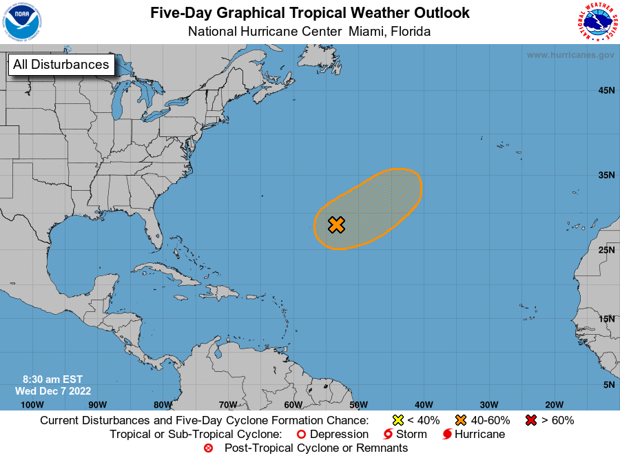
See the National Hurricane Center's five-day graphical tropical weather outlook below.
Excessive rainfall forecast
What's out there?
Systems currently being monitored by the National Hurricane Center.
What's next?
We will continue to update our tropical weather coverage daily. Download your local site's app to ensure you're always connected to the news. And look at our special subscription offers here.
This article originally appeared on Palm Beach Post: Potential Tropical Cyclone 2 expected to become Bonnie, NHC says

