Disturbance slightly better organized as it heads for the Gulf. What the forecast says
A disturbance moving over southeastern Mexico has become slightly better organized and is on track to soon move into the Gulf of Mexico, forecasters said.
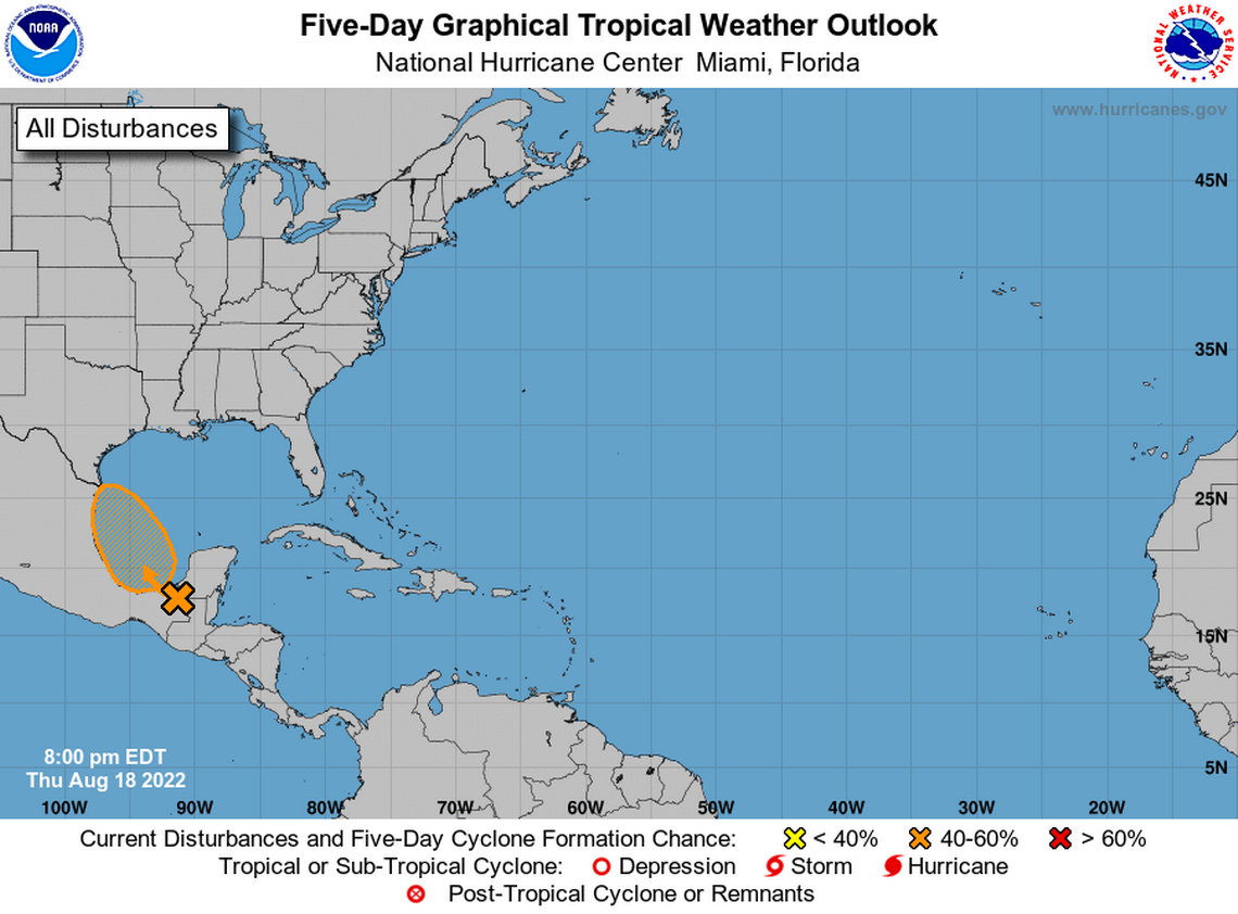
The system, which was producing showers and thunderstorms Thursday night, is forecast to emerge tomorrow morning into the Bay of Campeche, where an area of low pressure could form, according to the National Hurricane Center’s 8 p.m. advisory.
Once it enters the Gulf of Mexico, the disturbance could form into a tropical depression on Friday or Saturday, forecasters said. By Saturday night, however, it is expected to move inland over northeastern Mexico which will end its chances of development.
At the moment, the system is not a threat to Florida.
The hurricane center also upped the system’s formation chances from 30% to 40% for the next 48 hours and through the next five days.
An Air Force Reserve hurricane hunter plane is scheduled to the investigate the system Friday, if necessary.
NOAA’s revised prediction says there could be 11 to 17 named storms before the Atlantic’s 2022 hurricane season ends on Nov. 30. The next storm name on the list is Danielle.

