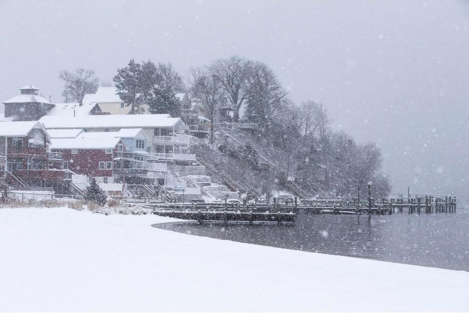
Is snow coming to NJ? Two storm systems are incoming, but it's too soon to tell
The National Weather Service is tracking two potential storm systems heading toward the northern part of the country in coming days, but forecasters say it's still too early to predict if New Jersey will see any significant snow totals.
A strong cold front is expected to move through the region sometime late Sunday night through Monday with periods of rain throughout New Jersey, said Steven DiMartino, a private meteorologist with NY NJ PA Weather.
No snow is expected with this first system, due to temperatures too warm to support snow, the weather service said. Temperatures will range from the high 40s to high 50s across the state on Sunday into Monday.
La Niña returns: What impacts it will have on NJ and why experts are less certain
However, by Tuesday night, forecasters are keeping a close watch on another storm system that could significantly affect the northwestern part of the country.
Good Friday morning! The cold front marched through last night and after some rain (and even a little thunder!), we have cleared out nicely. A fair weather day is expected with breezy conditions and chilly temps. #NJwx #PAwx #DEwx #MDwx pic.twitter.com/TA1U0LMndb
— NWS Mount Holly (@NWS_MountHolly) December 3, 2021
If temperatures are below freezing, some snow showers could develop in northern New Jersey, according to the National Weather Service.
However, forecasters say temperatures will likely still be too warm, and this system is likely to only produce rain for most of the state.
Is NJ in for a rough winter?: What Old Farmer's Almanac predicts and why experts question it
"As the warm front starts to push northward, we should see some showers develop and move into the area," the weather service said. "While temperatures will warm through the night and mostly rain is expected, there is the chance that we could see temps drop after sunset before the skies really cloudy over, mainly across northern areas."
There is still a possibly that some areas of New Jersey could see a wintry mix of sleet, rain and snow, but forecasters say this will only be seen in areas with higher elevations.
Prior to any of these conditions, the state is still experiencing one of its warmest periods during the late fall season, as temperatures are still ranging almost 10 degrees higher than usual for early December, forecasters said.
Partly to mostly sunny skies with breezy conditions are expected through early Sunday with temperatures hovering around the 50s, according to the weather service. By Sunday afternoon, cloudy skies are expected to take over with showers by the evening.
Joshua Chung is the 9-5 breaking news and weather reporter. A lifelong Jersey Shore resident, he is a recent graduate of Michigan State University. Contact him at jchung@gannettnj.com, 917-703-9373 or on Twitter @Joshchunggg
This article originally appeared on Asbury Park Press: Two storms are headed to NJ, but it doesn't necessarily mean snow
