Columbia, Lexington more likely to be affected by winter weather than in last storm
A trace amount of snow was recorded in Columbia over the weekend, and more snow could fall by the end of this week, according to the National Weather Service.
While snow is possible in the Midlands on Friday, the forecast shows there’s a good chance for more of the freezing rain that caused ice to accumulate over large swaths of South Carolina last Saturday and Sunday.
“Across the Columbia area we can expect a mixed bag of sleet and freezing rain,” National Weather Service meteorologist Matt Gropp told The State Tuesday. “There might be a little bit of snow. It depends if there will be enough moisture from a coastal storm to produce winter (precipitation).”
Whether it’s snow, ice, sleet, or a wintry mix of all three, the South Carolina Emergency Management Division said it’s expecting another round of severe winter weather.

“This could be an impactful event, or it could be just rain or snow,” Gropp said. “The best case scenario would be a little snow. The worst case would be a prolonged period of freezing rain like last weekend.”
Ice accumulation of a quarter inch was common across the Midlands last Sunday, according to the National Weather Service. Higher amounts were recorded in areas with prolonged exposure to freezing rain.
Whatever form the precipitation takes this time, the winter weather is expected to begin falling in the Midlands on Friday morning, National Weather Service meteorologists said in a briefing on the storm.
Regular rain is forecast to start Thursday night, when there’s a 60% chance of precipitation. Freezing rain is likely on Friday, and snow is a possibility overnight when temperatures could get as low as 24 degrees, the forecast shows.
The storm could last all day and into Saturday, but there’s a good amount of uncertainty about when the winter weather will move out of the area, according to Gropp.
There’s also uncertainty in the forecast about where the precipitation will primarily fall, and how much will accumulate. Gropp said the National Weather Service will have greater confidence in the forecast on Wednesday.
In spite of the uncertainty, the forecast shows the southern portion of the Midlands — including Columbia and Lexington counties — could be more affected by severe winter weather than they were last weekend, according to Gropp.
Areas in the northern Midlands — including parts of Newberry, Kershaw, Laurens, Fairfield, and Lancaster counties — were slammed by freezing rain and snow last weekend. But this time those areas are not expected to be as much of a target for winter weather.
But the residual impact of last weekend’s storm has left many there without power, and that issue could be exacerbated with the new round of winter weather, Gropp said.
More than 100,000 outages were reported by power customers in South Carolina last Sunday, and nearly half of those were in the Midlands.
If enough ice accumulates, that could again cause considerable damage to trees and branches, which creates the possibility of more downed power lines and outages.
Black ice is a threat again as well, as there could be freezing, followed by warmer temperatures, and more freezing, Gropp said.
Black ice is difficult to see and makes roads very slippery, especially bridges and overpasses. Black ice forms when snow or light rain falls on frozen concrete or asphalt, freezing quickly to form a layer of ice that is almost invisible against the backdrop of blacktop roads.
Freezing rain, sleet, or snow alone could cause safety issues on the roads. Last weekend drivers were asked to stay off the roads if possible. That request could be issued again.
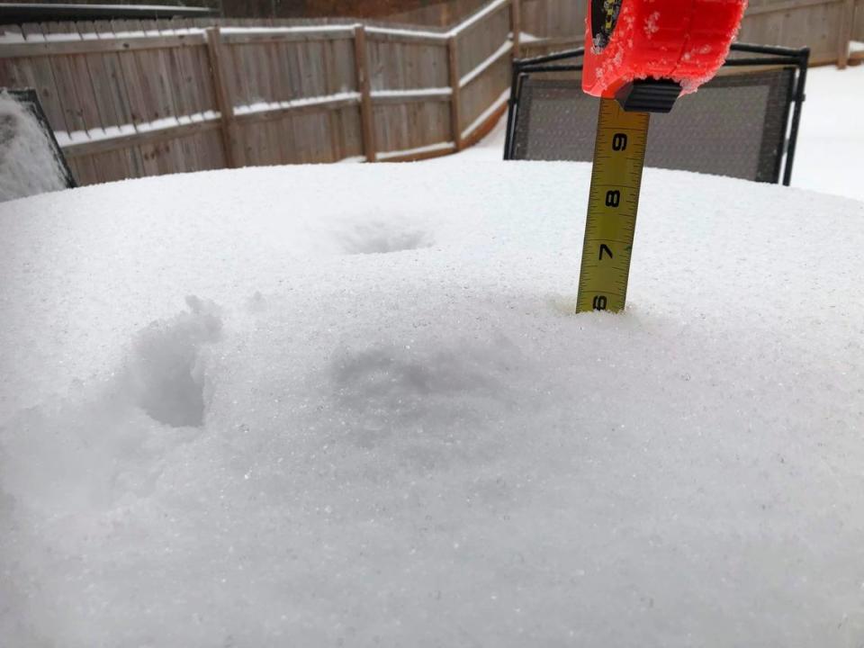
While several inches of snow fell in the Upstate last weekend, a trace amount of snow was confirmed at Columbia Metropolitan Airport, according to the National Weather Service. That marked the first time since Jan. 16, 2018, that snow was recorded in Columbia.
The last measurable snowfall at the airport was on Jan. 6, 2017, when about a tenth of an inch was recorded, the National Weather Service said.
