Cold, wet Northern California storm could create perilous travel conditions in mountains
A cold late fall storm forecast to hit mid-week will drop heavy rain and snow in the valley and surrounding mountains, creating the potential for dangerous driving conditions and delays.
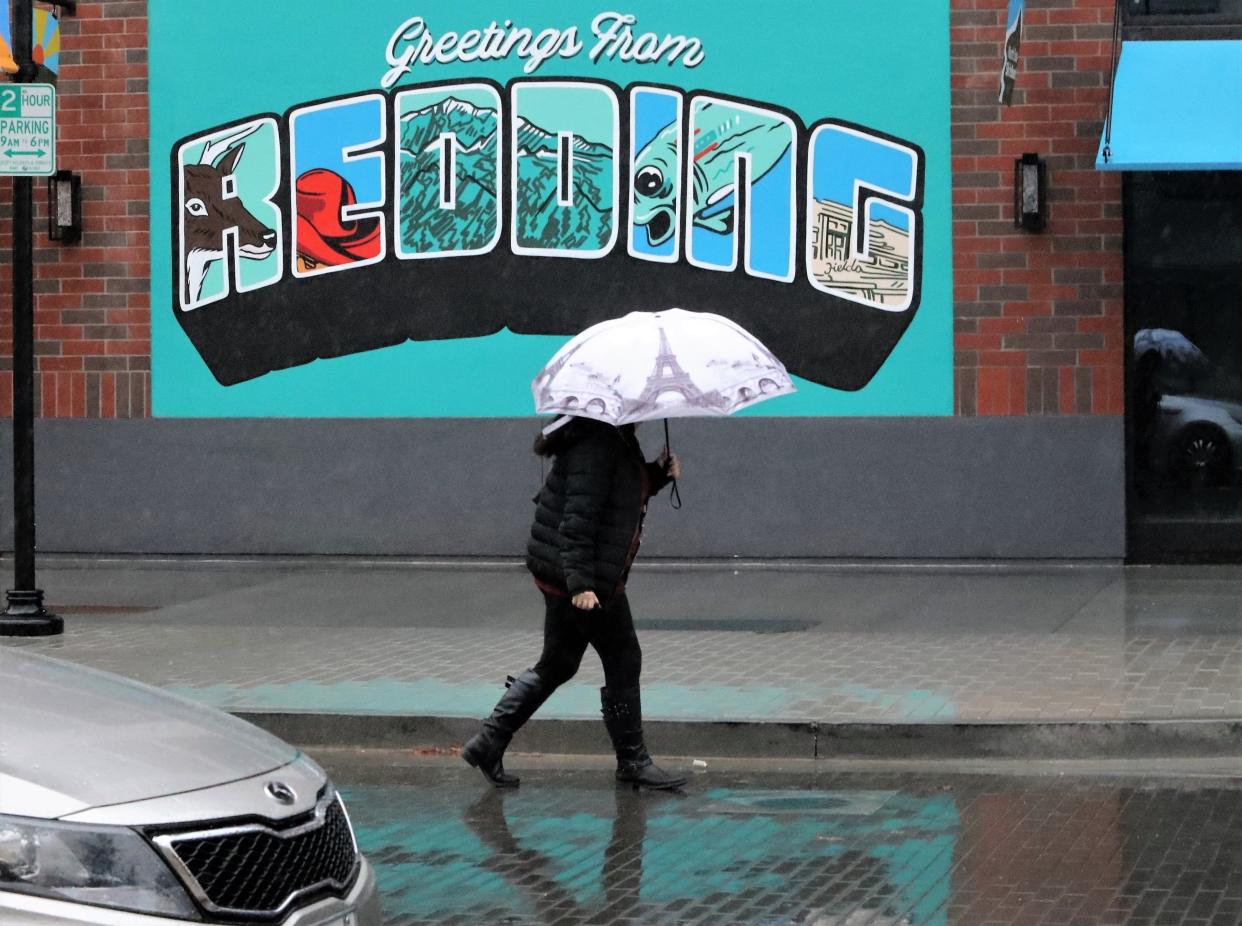
The greater Redding area could get 3 to 4 inches of rain starting Wednesday and on through the weekend, said Katrina Hand, a National Weather Service meteorologist based in Sacramento.
That’s good news for 2022 — so far, a bone-dry year that has the potential of being the driest on record for Redding.
ICYMI:24 things to do in Redding area, Siskiyou before it's 2023
To date, Redding Regional Airport, the city’s official rain gauge, has received 8.61 inches of precipitation in calendar 2022. The driest year on record was 2013, when 12.8 inches of rain fell, Hand said.
“So that would definitely help with those totals, get us closer to normal, although we are pretty far from normal,” said Hand, noting that a normal year brings 26.71 inches of precipitation to Redding.
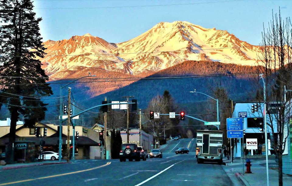
While the valley deals with rain, the Interstate 5 corridor north of Redding through the city of Mount Shasta could receive 2 to 3 feet of snow Wednesday through Sunday, the National Weather Service said.
And some of the highest elevations, like Lassen Peak, are expected to get 6 to 8 feet of snow.
But it’s the mountain passes that concern forecasters.
“When the snow starts to fall overnight Wednesday, it will be about 500 feet in and around Mount Shasta, so I-5 through the Black Butte Summit near Mount Shasta city, that’s a significant concern for travel impacts,” said Mike Stavish, a National Weather Service meteorologist based in Medford, Oregon. “Travel on I-5 is not recommended Wednesday night and even into Thursday.”
Hand said that the first round of weather arriving late Wednesday will bring south winds that could gust up to 25 mph around Redding before they calm into the weekend.
“Gusty winds may cause downed tree limbs and weakened trees, and localized power outages. Unsecured items could be impacted, including temporary structures and Holiday decorations,” a National Weather Service news release said.
Both Hand and Stavish said a second round of weather will hit late Friday and into the weekend.
“It’s not necessarily as significant as the first one, but it’s looking like possibly another winter-storm-headline event with somewhere in the vicinity of 5 to 10 inches (of snow) possible. That’s just a rough outlook,” Stavish said of the Mount Shasta area.
“Travelers should maintain awareness that there’s more to come for Saturday,” he added.
It's too early to say with any confidence the potential for rain and snow next week, or through the month of December.
Last December, Redding received 5.37 inches of rain, the National Weather Service said.
Meanwhile, Mt. Shasta Ski Park hopes to open its season in mid-December.
The ski park received more than 2 feet of snow from a storm in early November, but much of it has melted, according to the resort's webcam.
This article originally appeared on Redding Record Searchlight: California weather: North state storm to bring heavy rain, snow

