We've Decided These Are the Top 10 Best Long Rail Trails You Can Find in the U.S.
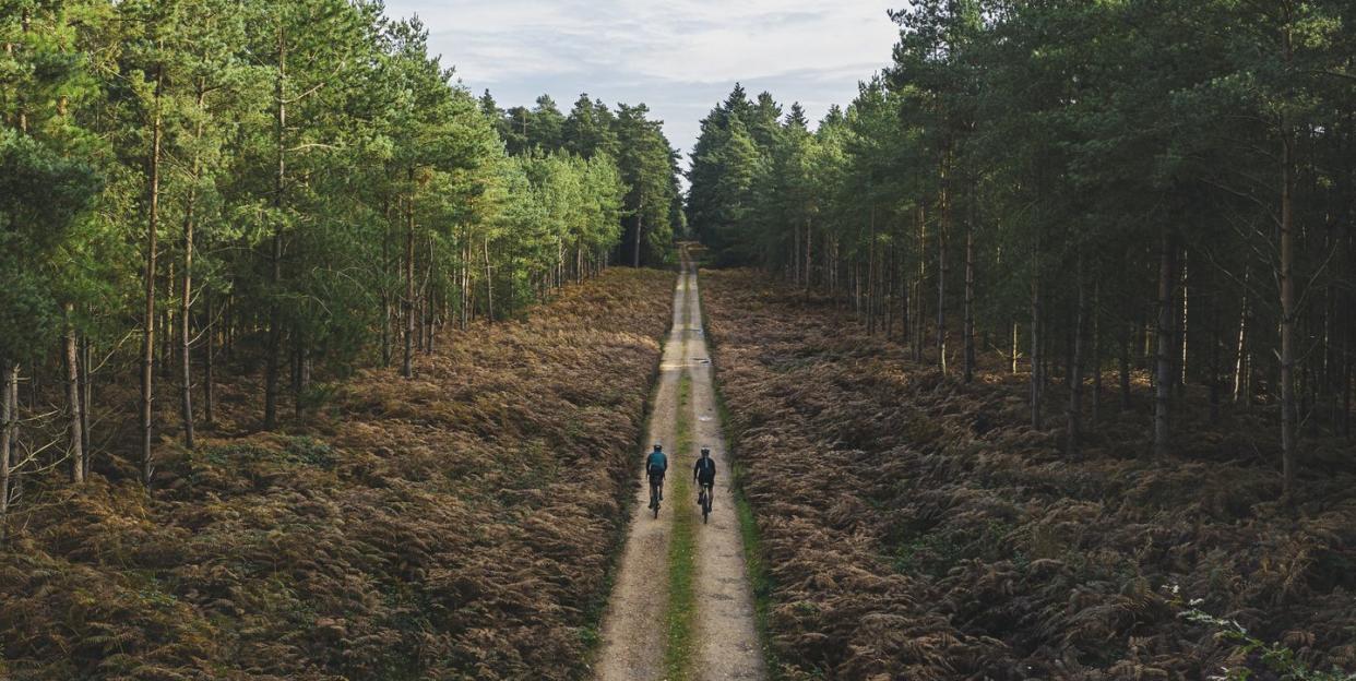
Just about every cyclist can appreciate a good rail trail. The terrain is usually tame, there are no cars to contend with, and they’re a great introduction to longer rides—like centuries.
Here, we’ve listed the top 10 of best rail trails you can find in America, and why each one belongs on your bucket list.
Great Allegheny Passage
Location: Cumberland, Maryland, to Pittsburgh, Pennsylvania
Length: 150 miles
Why it’s great: When you connect the crushed limestone Allegheny Passage with the 184.5-mile C&O; Canal Towpath in Cumberland, you can ride all the way from Pittsburgh to D.C. without having to worry about busy streets or traffic. It’s the perfect place to try your first week-long bike tour.
Katy Trail State Park
Location: Machens to Clinton, Missouri
Length: 240 miles
Why it’s great: The crushed limestone Katy Trail is one of the longest rail trails in the country, and runs nearly across the entire midsection of Missouri. It’s not only steeped in history—over half of its length follows Lewis and Clark’s path along the Missouri River—but it’s also a great place to explore Missouri wine country, with wineries easy to access from the trail.
Supercharge your riding life and get exactly what you need with Bicycling All-Acces! 🚲
Washington & Old Dominion Railroad Regional Park
Location: Shirlington to Purcellville, Virginia
Length: 44.8 miles
Why it’s great: This paved national park trail, also known as the W&OD; for short, gets a lot of use due to its easy access from D.C. It’s an excellent way for cyclists to safely commute from northern Virginia into the city.
Silver Comet Trail and Chief Ladiga Trail
Location: Smyrna, Georgia, to Anniston, Alabama
Length: 95 miles
Why it’s great: Starting in Georgia, just outside of Atlanta, cyclists can take on both trails together for nearly 100 miles of scenic riding through two states. It’s one of the longest paved trails in the country and connects more than a dozen towns along the way.
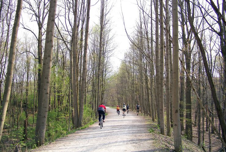
Little Miami Scenic Trail
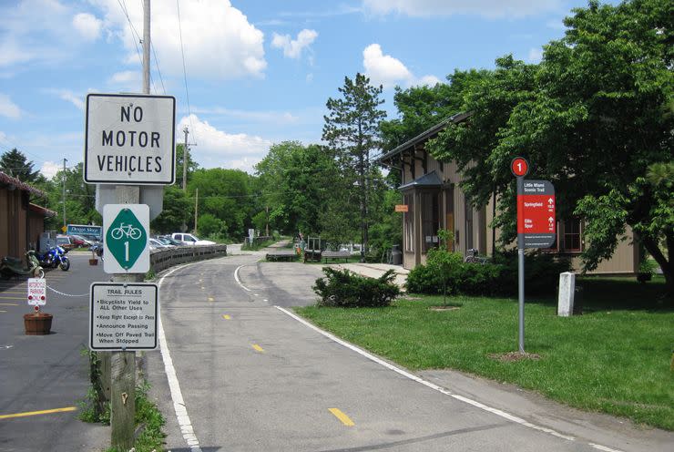
Location: Springfield to Newtown, Ohio
Length: 78 miles
Why it’s great: This paved trail connects to other Southwestern Ohio trails, like the Buckeye Trail, the North County National Scenic Trail, and the Ohio-to-Erie Trail, for plenty of continuous off-road riding.
Paul Bunyan State Trail
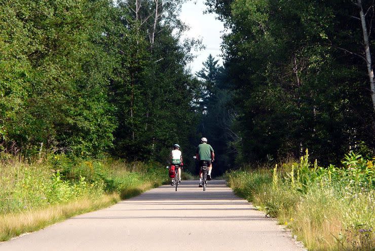
Location: Brainerd to Bemidji, Minnesota
Length: 115 miles
Why it’s great: This paved trail is dotted with small towns and lots of places to stop for food and local hospitality. If you ride the whole trail, you’ll not only soak up some of the best scenery Minnesota has to offer, but you’ll pass 21 freshwater lakes along the way.
Wabash Trace Nature Trail
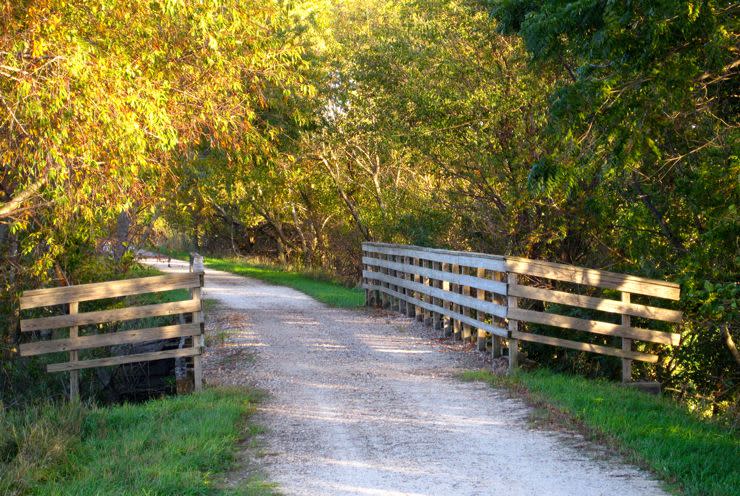
Location: Council Bluffs to Blanchard, Iowa
Length: 63 miles
Why it’s great: This crushed limestone trail through the scenic Loess hills of western Iowa hosts a number of bike events, like the Taco Ride and regular MTB and road rides. There are a few parks along the route that offer free camping for bike tourists, but there is a minimal fee to ride the trail, which helps offset maintenance.
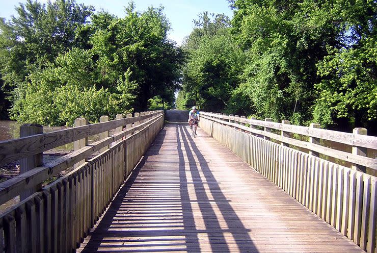
Greenbrier River Trail
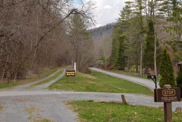
Location: Cass to Caldwell, West Virginia
Length: 78 miles
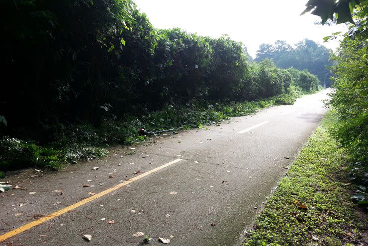
Why it’s great: All the lush, green magic of the West Virginia outdoors comes into focus along this packed crushed stone trail down the Greenbrier River.
Trail of the Coeur d’Alenes
Location: Mullan to Plummer, Idaho
Length: 73 miles
Why it’s great: This mixed asphalt and gravel trail takes cyclists across the state from near Washington to Montana border through the historic Silver Valley. The trail offers breathtaking views of the valley and Coeur d’Alene Lake and is operated as a partnership between the Coeur d’Alene tribe and the Idaho Department of Parks and Recreation.
George S. Mickelson Trail
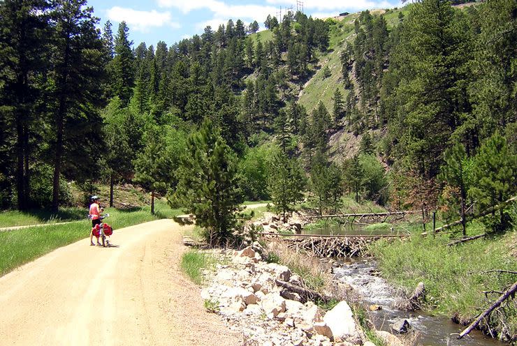
Location: Deadwood to Edgemont, South Dakota
Length: 114 miles
Why it’s great: Named for its most ardent advocate, a former South Dakota governor, the George S. Mickelson trail passes through national forest for nearly its entire run. With views of the best of the Black Hills, this extensive crushed stone and dirt path crosses nearly 100 converted railroad bridges and four tunnels.
You Might Also Like

