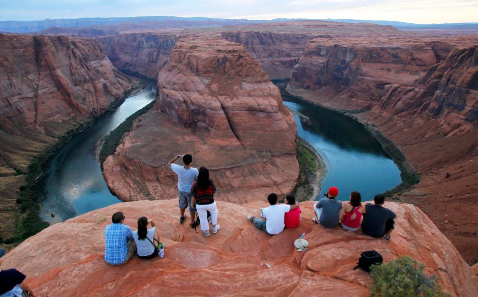
Where does the Colorado River start? Mapping the stream from the headwaters to the basins.
The Colorado River water touches seven states and Mexico and is 1,450 miles long – the sixth longest in the nation according to river conservation organization American Rivers. More than a natural spectacle, the river supplies drinking water for one in 10 Americans and just half of the river water nourishes nearly 90% of the nation’s winter vegetable crops.
But the constant demand means the river also faces aridification and overconsumption. Here’s everything you need to know about the river many call the “lifeline of the Southwest.”

Where does the Colorado River start?
The Colorado River begins at La Poudre Pass Lake in the Rocky Mountain National Park in northern Colorado.
The headwaters flow out to Grand Lake and Lake Granby before heading south, according to local ABC affiliate Denver7 News. You can drive or travel along the 80 miles of the scenic Colorado River Headwaters Byway by starting in the town of Grand Lake, Colorado and ending in State Bridge.
The water comes from the melted snowpack of the Rocky Mountain peaks, which release fresh water into the river over time. This once-reliable stream is now strained for several reasons – overuse of water, decreased precipitation and increased temperatures that cause quicker snowpack thawing.
Moving south, the melted snowpack water is joined by several other rivers before reaching Lake Powell, the 189-mile-long lake behind the Glen Canyon Dam. The lake stores the water used in the upper basin of the Colorado River, which includes Arizona, Colorado, New Mexico, Utah and Wyoming. After this, it heads downstream to Lees Ferry, where the upper and lower basins are divided for water rights purposes, Denver7 reports.
West running out of water: Will a heavy snow come to the rescue this winter?
Where does the Colorado River end?
The Colorado River ends near the Gulf of California in Mexico. It used to reach the Gulf but is now reduced to a trickle several miles before the sea because of climate change and overuse.
The river transitions from the Upper Basin to the Lower Basin below Lake Powell in northern Arizona. After Lees Ferry, the river winds through the Grand Canyon and makes a pass at the Hoover Dam on Lake Mead. It then continues through Nevada, California, Arizona and into Mexico.
What river runs through the Grand Canyon?
It's true – the Colorado River is one of the Grand Canyon’s claims to fame. The Colorado River runs through the Grand Canyon in a 277-mile stretch and is the main river to flow through it, though the National Parks Service still doesn’t know the extent of all water sources within the Grand Canyon.
In Mother Nature's shoes: Keeping the Colorado River's heart beating
Just Curious for more? We've got you covered
USA TODAY is exploring the questions you and others ask every day. From "Which state has the most national parks?" to "How old is my cat in human years?" to "What do I wear to a rodeo?" − we're striving to find answers to the most common questions you ask every day. Head to our Just Curious section to see what else we can answer for you.
This article originally appeared on USA TODAY: Where does the Colorado river start? An explorations of the map.

