What were those clouds after yesterday’s storm?
The video above goes in-depth on how mammatus clouds are formed.
FAYETTEVILLE, Ark. (KNWA/KFTA) — The beautiful clouds seen after the storms yesterday are called Mammatus clouds. The Latin root mamma means “udder”, like on a cow, and the end -ātus means “like”. Putting this all together we get udder-like clouds.
What causes Mammatus clouds?
To be able to see clouds like this you first need strong thunderstorms that have a strong updraft. The strong upward motion of warm air is how we get thunderstorms to form in the first place, but as the warm air rises to the top of the troposphere, it cools and wants to sink back down. This sinking motion of the cooler air, along with the mixing of the air in and around the thunderstorm (turbulence), is what causes these Mammatus clouds to form.
Why don’t we see these with every storm?
For Mammatus clouds you need rapid upward motion or “explosive” thunderstorms to have a lot of sinking motion. What goes up must come down right? These storms also have to be tall, basically a lot stronger than your average variety of thunderstorms. These kinds of storms often bring decent-sized hail with them as well.
Tune in later today as our weather team breaks down why this happens.
Andy Tice Andy Tice Lacey Howard Lacey Howard
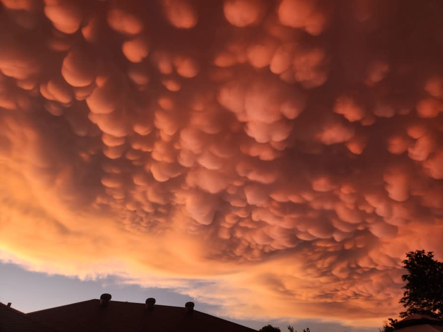
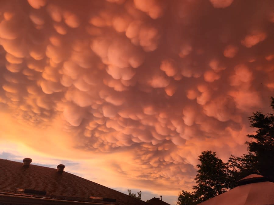

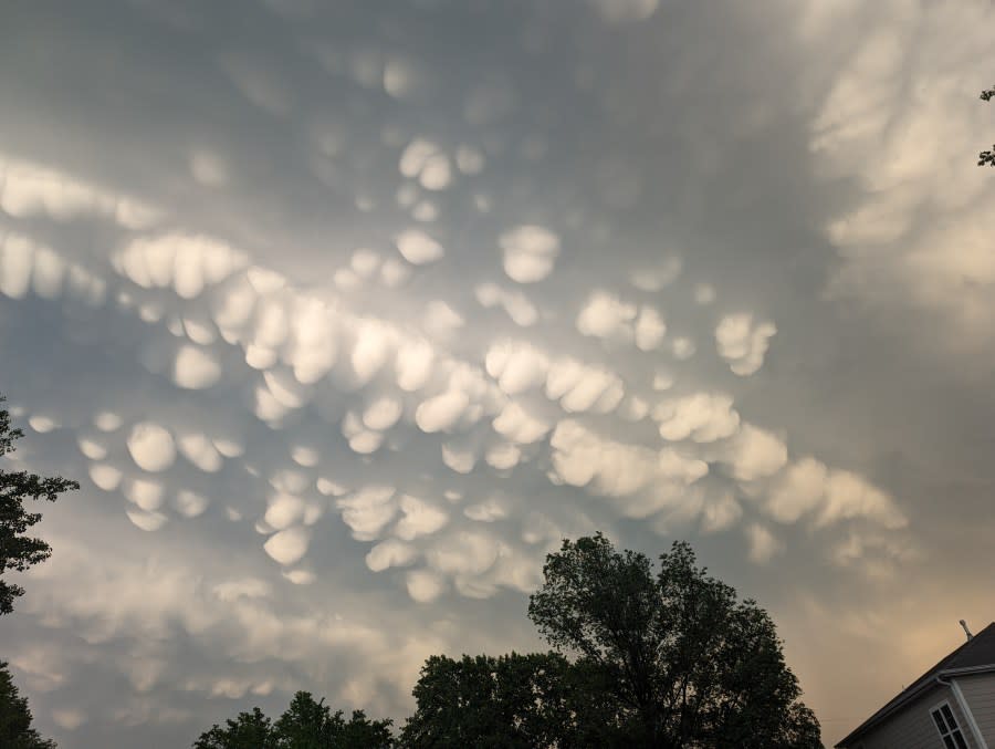
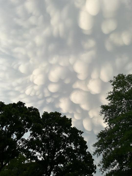
Above are some pictures of the clouds sent from KNWA/FOX24 viewers.
For the latest news, weather, sports, and streaming video, head to KNWA FOX24.
