Weather Permitting: Expect a muggy, stormy week in Fayetteville before a weekend cooldown
A stretch of welcome rainfall continues across the Cape Fear region, with the potential foursome severe storms arriving later this week.
In the meantime, brace for moist, muggy mid-summer heat before cooler conditionals arrive this weekend.
There's a little bit of something for everyone this week, so let's get to it.
Here's the setup
The ridge that kept the Cape Fear region warm and dry gave way to a saggy front over the weekend. That front has pretty much dissolved, leaving us at the whim of energy impulses sliding from west to east. Each impulse brings the chance of showers as it interacts with the humid, warm air overhead.
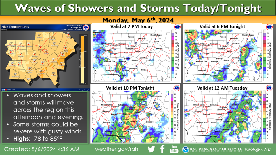
At lunchtime Monday, the latest of these impulses was sliding into the southwestern region bringing showers to Richmond and Scotland counties. By this afternoon another batch will slide into the state, then another ... you get the idea.
These systems are wading into air rich with moisture. PWAT (potential rainfall) levels in the Sandhills are between 1.5 and 2 inches — normal for mid-summer, but rare for early May. The air, in effect, is begging for a chance to rain, and each of these impulses is happy to oblige.
A decent round of showers is expected tonight and may arrive with thunder. Tuesday looks a little less stormy, but quite a bit warmer with highs in Fayetteville climbing near 90.
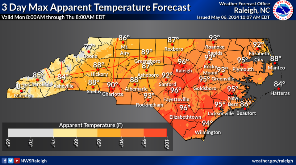
On Wednesday and Thursday, attention will shift from rain to heat. A weak ridge overhead will create a southwest flow over the Carolinas, driving temperatures well into the 90s. Factor in the residual humidity and we'll be looking at a heat index that could flirt with triple digits. This will be the first time we've seen this combination in 2024 so any outdoor activity should include water and shade.
Scattered afternoon showers are possible either day, the usual summer popcorn-type events. Overnight lows will likely stay above 70.
Storms return Thursday evening, potentially strong to severe ones. Projections are for a strong cold front to advance toward the Carolinas into the warm, humid air. CAPE (storm energy) levels will be about 2000, high enough to support severe conditions. Fayetteville will likely see a high of 90. Even if the system arrives after sunset, there will still be ample energy for rough weather.
The weekend
The cold front arrives Friday morning, with some stray showers and strong west-to-northwest winds. Rain chances and clouds ease through the afternoon, with a high of about 80 for Fayetteville. More notably, dew points will drop into the upper 40s — a welcome break after a muggy week.
Saturday and Sunday look seasonably delightful, with highs in the upper 70s and lows in the mid-50s.
Down the road
Things are looking calm and seasonal as we head into mid-May. Look for highs in the low 80s, with pleasant dew points.
Got a weather question? Chick Jacobs can be reached at ncweatherhound@gmail.com or NCWeatherhound on X/Twitter.
This article originally appeared on The Fayetteville Observer: What's the weather forecast for Fayetteville, NC this week?

