Warm start to holiday weekend, storms likely later on Sunday
Columbus and Central Ohio Weather
We had a mix of clouds and sun, with a few scattered showers east of I-71 along a weak cold front. Temperatures warmed into the mid-80s.
The front will stall near the Ohio River overnight, as winds become light, allowing for some patchy valley fog. Morning lows will dip into the upper 50s northwest of Columbus, with slightly lower humidity.
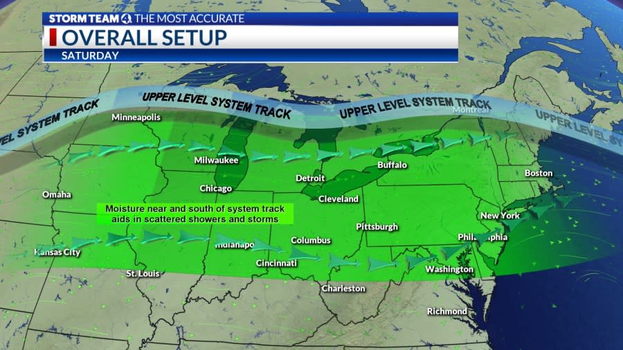
The next likelihood for showers and storms will arrive late Sunday afternoon and evening, as the front lifts back to the north, while acting as the path for a complex of showers and storms moving east, but likely weakening across Ohio.
A second round of stronger storms will develop with low pressure tracking from the central Plains to the western Great Lakes after midnight, with damaging wind and hail potential, although becoming less severe with eastward progression.
Showers and a few storms will linger on Memorial Day, but there should be some dry hours. Winds will increase behind the cold front from the west, gusting from 20-30 mph. Temperatures will cool down into the mid-70s with cloud cover and a few periods of afternoon sun.
Next week will be noticeably cooler, with scattered showers lingering through midweek with disturbances rotating around upper-level low pressure. High will only reach the low 70s.
Forecast
Tonight: Partly cloudy, isolated storms. Low 61
Sunday: Clouds increase, showers, storms p.m. High 84
Memorial Day: Mix clouds and sun, few showers. High 77 (68)
Tuesday: Mostly cloudy, cooler, showers. High 74 (59)
Wednesday: Mostly cloudy, shower possible. High 68 (55)
Thursday: Mostly sunny. High 70 (49)
Friday: Sunny. High 77 (51)
Copyright 2024 Nexstar Media, Inc. All rights reserved. This material may not be published, broadcast, rewritten, or redistributed.
For the latest news, weather, sports, and streaming video, head to NBC4 WCMH-TV.

