Upper Colorado River Basin states push for long-term guidelines based on real-time water conditions
The Colorado River’s Upper Basin contingent sent the federal government a proposal Wednesday outlining its vision for the watershed’s long-term management as talks among all seven of the region’s states falter.
The talks pertain to the forthcoming update of the Colorado River’s 2007 Interim Guidelines for Lower Basin Shortages: rules set to expire at the end of 2026 that govern where, when and how much the water from the 1,450-mile river, which serves as the lifeblood for about 40 million people in the U.S. and Mexico, should be conserved. From the perspective of Colorado, Wyoming, Utah and New Mexico — the Upper Basin states, whose supply from the river is more reliant on the weather — the updated conservation measures should reflect real-time hydrological conditions in a changing climate.
“We can no longer accept the status quo of Colorado River operations,” said Becky Mitchell, Colorado’s commissioner to the Upper Colorado River Commission, in a Wednesday statement. “We need to address the existing imbalance between supply and demand.”
The Upper Basin states filed their submission as part of the revision process, overseen by the federal Bureau of Reclamation and in compliance with the National Environmental Policy Act (NEPA). As part of this process, the federal agency must conduct a comprehensive analysis of proposed alternatives within an environmental impact statement (EIS).
The Bureau has given the Colorado River’s seven basin states until Monday to submit a consensus-backed alternative for consideration — warning that if this does not occur, federal officials could proceed independently, with the intention of publishing an EIS by December.
But with this deadline rapidly approaching, a deadlock has remained between the Upper Basin and the Lower Basin, which includes California, Arizona and Nevada.
The impasse has persisted despite an announcement on Tuesday that the Bureau was pushing forward separate, short-term measures to tide the region over until 2026 — measures derived through eventual consensus after a year of heated squabbles among the states.
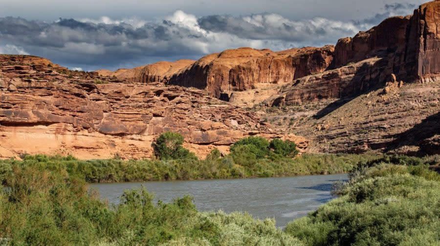
The Colorado River stretches from the Rocky Mountains to the Sonoran Desert in Mexico. For the Upper Basin, water availability hinges upon the amount of precipitation accumulated in a given year.
The Lower Basin, on the other hand, fulfills its allotments from the Lake Powell and Lake Mead reservoirs, while retaining some of the most senior historical “water rights” — the relic of a first-come, first-served priority-based system.
“The Upper Division states and the Lower Basin have two very different perspectives on the river system itself,” Chuck Cullom, executive director of the Upper Colorado River Commission, told The Hill on Monday.
When the Lower Basin puts in a request for water, Cullom continued, the states have “100 percent certainty on the water supply that they will receive because it’s in those two giant bank accounts.”
“In the Upper Basin, the preponderance of water users are adjacent to the live stream — that is, they do not have the benefit of storage,” he added.
The Upper Basin states on Wednesday morning filed their submission to Bureau of Reclamation Commissioner Camille Touton, outlining an alternative that the four states argued could “help provide water supply certainty and sustainability in the face of a drying and uncertain future.”
The alternative centers operations “on actual conditions — instead of unreliable forecasts — to ensure that Lake Powell and Lake Mead are operated sustainably,” according to a joint statement from the four states.
The proposal aims to address what the parties characterized as existing supply-demand imbalances in the Lower Basin while remaining consistent with the Law of the River.
Specifically, the alternative suggested aligning Lake Powell releases with real-time hydrology, to bolster the reservoir’s storage and make it more adaptable to variability. The Upper Basin’s current hydrological shortages amount to about 1.2 million acre-feet each year, the states noted.
For reference, a 1922 compact allotted 7.5 million acre-feet of water annually to each of the two U.S. basins, while the Mexican Water Treaty of 1944 then granted an additional 1.5 million acre-feet to Mexico. A typical suburban U.S. household uses about an acre-foot of water each year.
When the reservoir is 100 percent full, releases would occur as required for dam safety. At 81 percent to 100 percent full, 8.1 million to 9 million acre-feet would be discharged each year; at 20 to 81 percent full, 6 million to 8.1 million acre-feet; and when below 20 percent full, 6 million acre-feet each year.
As far as Lake Mead is concerned, reductions in use would depend upon reservoir conditions, with suggested operations adapted from a concept first promoted by the Lower Basin states, according to the proposal.
Under conditions in which Lake Mead was at least 90 percent full, there would be no reductions, and if the reservoir was 70 percent to 90 percent full, Lower Basin cutbacks would increase in a linear progression to a maximum of 1.5 million acre-feet.
Should the reservoir be between 20 percent and 70 percent full, the Lower Basin would incur a static reduction of 1.5 million acre-feet. Cutbacks would be more dire at 0 percent to 20 percent capacity, with up to an additional 2.4 million acre-feet in reductions beyond the baseline 1.5 million acre-feet,
If the Bureau of Reclamation ends up selecting the Upper Basin proposal, the four states said they might also engage in “parallel activities,” which could include voluntary conservation measures and acknowledgment of undeveloped settled tribal water rights.
There are also 30 federally recognized tribes in the region, 17 of which have established water rights in the Lower Basin and five of which do so in the Upper Basin. Collectively, these nations have rights to about a quarter of the domestic water allocations.
In addition to potentially recognizing additional tribal water rights, the Upper Basin states said they might consider new recovery initiatives under the 1956 Colorado River Storage Project Act. As of today, this program has created four storage reservoirs: the Wayne N. Aspinall Unit in Colorado, the Flaming Gorge Unit in Utah, the Navajo Unit in New Mexico and the Glen Canyon Unit in Arizona.
At a Monday meeting of the Upper Colorado River Commission, representatives from the four states already hinted that they were working on an independent alternative while reiterating their commitment to a seven-state solution.
“Our water use projections are below our proportionment, and are naturally impacted by climate change,” Mitchell, Colorado’s commissioner and director of the Colorado Water Conservation Board, said at the meeting.
The Upper Basin’s concept, she explained, would support “sustainable operation that’s both technically and economically feasible and based on actual hydrology,” while bolstering storage in Lake Powell and Lake Mead.
Echoing Mitchell’s sentiments, Gene Shawcroft, Utah’s commissioner, stressed that “the upper division states for the last 20 years have been experiencing shortages.”
“The water users just have not had the water down the river that they intended to use,” added Shawcroft, who also serves as general manager for the Central Utah Water Conservancy District. “We have not taken the water that we would like to take simply because it is not there.”
JB Hamby, chair of the Colorado River Board of California, took issue with many Upper Basin criticisms, telling The Hill on Monday that the “Lower Basin understanding of the way the law of the river works is a lot more solid backing to it than any of the novel new theories the upper basin has developed.”
He stressed a need “to be able to protect the base against the future of climate change, which should be a shared obligation of the entire basin.”
“I feel confident about where we are in the Lower Basin,” Hamby said. “And if, at the seven-state level, we are to take the same approach that the Lower Basin states have taken, to be able to figure out how to live with less, we’re in good shape.”
Despite the ongoing tensions between the Upper and Lower basins, the Upper Basin commissioners at the Monday meeting commended the Lower Basin parties for their willingness to enact certain reductions. Shawcroft particularly referenced the 1.5 million acre-feet suggestion adapted into their proposal.
“We recognize that that’s a big, big lift,” he said.
Cullom, the executive director of the Upper Commission, likewise stressed that he and his colleagues must understand “the deep risks” challenging built economies in the Lower Basin.
Having previously worked for the Lower Basin’s Central Arizona Project (CAP) — a 336-mile aqueduct that diverts Colorado River water across the state — Cullom acknowledged that balancing the needs of cities versus agriculture in this region is not easy.
“Once that storage is depleted, then that uncertainty cascades downstream,” he told The Hill.
Also at issue is the fact several Lower Basin tribal nations have voiced concerns that future cuts could lead to restrictions on the CAP, Anne Castle, chair of the Upper Commission, also pointed out at the Monday meeting.
“There are a number of tribes that have CAP water as part of their settlements, and there’s concern about reductions to CAP impacting their settlements,” Castle said.
Estevan López, New Mexico’s commissioner, confirmed an initial seven-state consensus submission would be unlikely, he hoped the parties could get back together and work through their differences.
Shawcroft, the Utah commissioner, echoed these sentiments, stressing his belief that “there’s still time” to accomplish a seven-state solution.
“We know this process is far from over,” Mitchell added. “We’re committed to remaining at the table and trying to seek consensus on a seven-basin-state alternative. We have to acknowledge, though, the pain that is inherent with living on the frontlines of climate change.”
For the latest news, weather, sports, and streaming video, head to The Hill.

