Think outside the box - New law means Shetland must be shown in the right place on maps

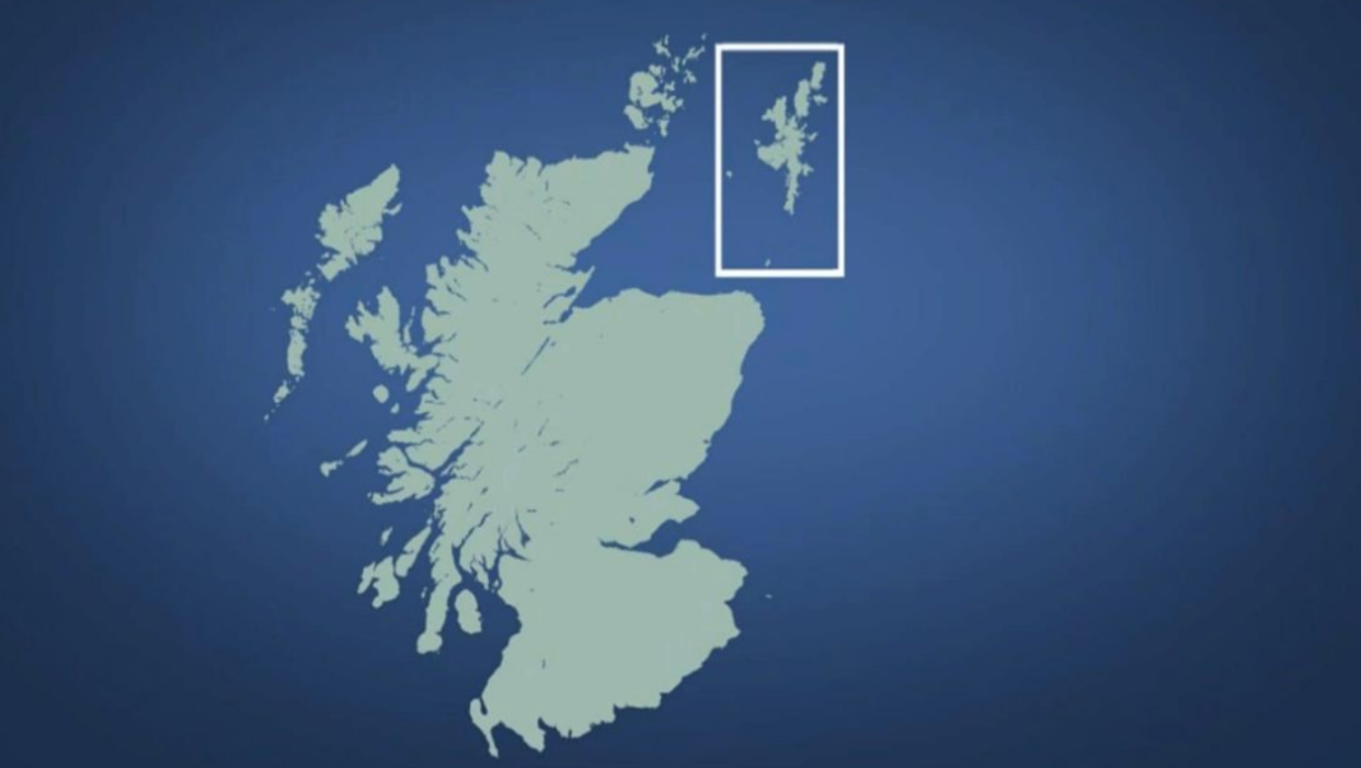
Nobody puts Shetland in the corner. At least not now.
New rules have come into force stopping public bodies from putting the islands in a box on official documents and maps.
Instead, maps will now have to show the full 104 miles distance of empty sea from the British mainland to Shetland, the most northern islands in the British Isles.
The change in law has come about because of the work of Islands MSP Tavish Scott, who claimed putting the islands in a box was a ‘geographical mistake’ which annoyed the locals.
Mapmakers had argued that such boxes helped them avoid publishing maps ‘which are mostly sea’.
But the new rule, which affects Scottish public bodies, changes all that.
‘There is no excuse now for the Scottish government, its agencies or others to put Shetland in a box. The box is closed,’ said Scott.
‘It doesn’t exist, whether that be in the Moray Firth or east of Orkney. Shetland is now in the right place. It is ridiculous that I had to change the law to make this happen but so be it.’
Can't wait till the New Shetland Islands map comes out.
Really hope that @OrdnanceSurvey sticks it right in the bottom left corner of the map and leaves the rest of it blue 😂.— Trubs (@Mr_Trubshawe) October 5, 2018
Now, if cartographers want to put Shetland in a box, they will have to provide information about why they are doing so.
The move has not gone down with some on social media though, who claimed it was ridiculous and would condemn the islands to not being featured at all on some maps.
The issue has even been given its own hashtag #boxit.
Some even claimed the change would eventually mean Shetland ‘rejoining’ Norway.
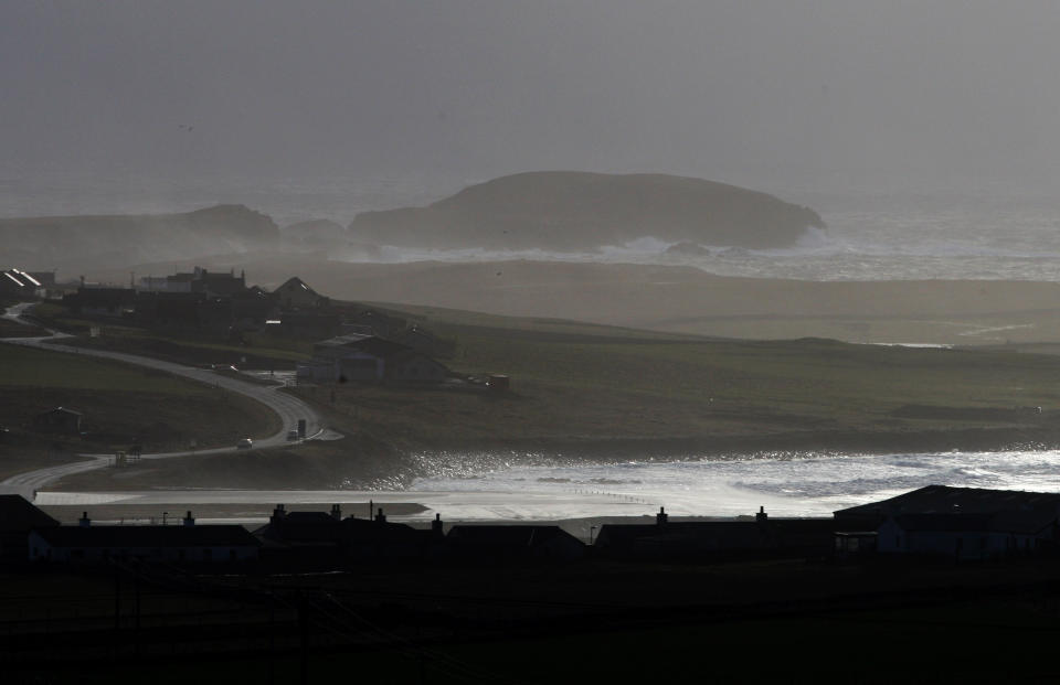
Made up of a number of islands, more than 23,000 people live in the Shetlands, famed for its annual Viking festival. They are located just some 170 miles south of the Faroe islands.
The earliest written reference to the islaqnds dates back to Roman times.

