Texas fires map: Track wildfires as Smokehouse Creek blaze engulfs 500,000 acres
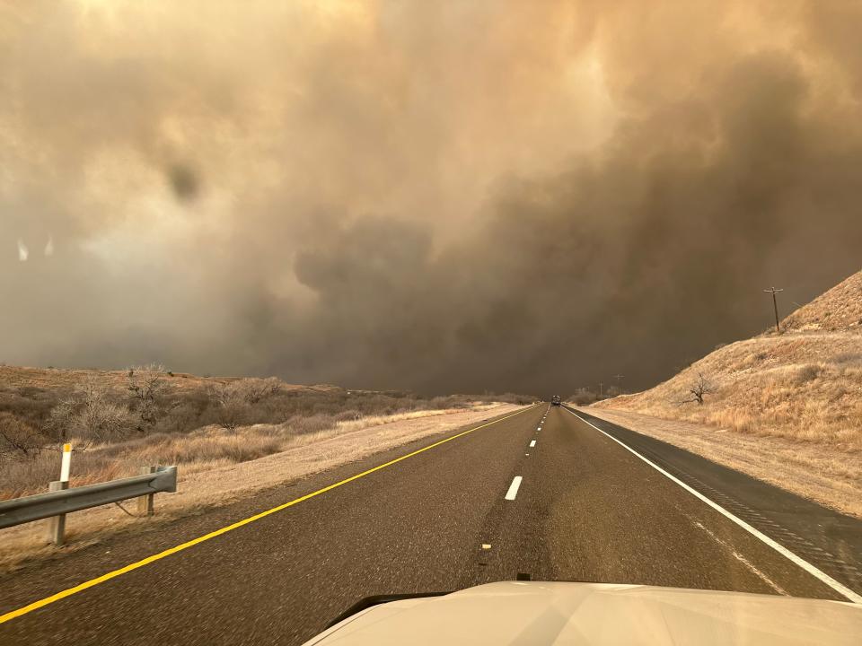
The second-largest wildfire in Texas history, Smokehouse Creek, has engulfed around 500,000 acres of land as dry conditions contribute to fires all around the state.
The fires have prompted Gov. Greg Abbott to issue a disaster declaration for 60 counties, which enables critical resources to be deployed to impacted areas.
According to Texas A&M Forest Service, as off midday Wednesday, there were six active wildfires, two controlled fires and 23 contained fires. Five of the active fires are located on the Texas panhandle, north of Amarillo.
Follow along here for live updates: Texas wildfire becomes 2nd largest in state history, grows to 500,000 acres
Where are the Texas wildfires?
The active fires are as follows, according to Texas A&M Forest Service as of midday Wednesday:
Smokehouse Creek — Hutchinson County, 500,000 acres, 0% contained
Windy Deuce Fire — Moore County, 40,000 acres, 20% containment
Grape Vine Creek Fire — Gray County, 30,000 acres, 60% containment
Magenta — Oldham County, 2,000 acres, 40% containment
687 Reamer — Hutchinson County, 2,000 acres, 10% containment
Mills Creek — Fannin County, 75 acres, 0% containment
Map of Texas Wildfires:
Julia is a trending reporter for USA TODAY. She has covered various topics, from local businesses and government in her hometown, Miami, to tech and pop culture.
You can follow her on X, formerly known as Twitter, Instagram and TikTok: @juliamariegz.
This article originally appeared on USA TODAY: Texas fires map: Track locations of wildfires around panhandle

